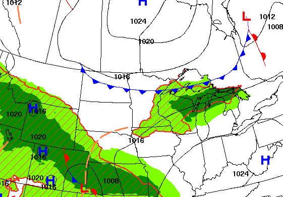
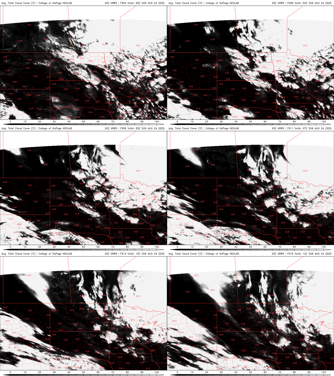
Temperatures will be near-normal south and west but cooler in northeast Minnesota. An isolated shower or two is possible Thursday and Friday, especially west and south.
A cool front diving south Wednesday will touch off some showers in parts of Minnesota and western Wisconsin. Today will be our warmest day ahead of it before temperatures dip a bit Thursday.
Temps will be a bit warmer today and tomorrow before cooling off slightly again late week behind a ‘back door’ cold front. Northeast Minnesota may see a few showers Wednesday.
Cooler than normal temperatures will continue for the early week. Temps will gradually warm to near-normal, which is the upper 70s by mid to late week.
A cool Canadian air mass will keep conditions quiet and crisp to start the week. Overnight lows will fall into the 40s under clear skies, with this cooler, calm stretch continuing through the end of August.
Cooler temperatures, increasing clouds, and brisk northwest winds will keep summer on pause through mid-week, as Canadian high pressure limits any meaningful precipitation during the final days of August.
When it comes to staying informed in Minnesota, our newsletters overdeliver. Sign-up now for headlines, breaking news, hometown stories, weather and much more. Delivered weekday mornings.