A tornado watch is in effect for most of southeastern Minnesota and includes the southern Twin Cities counties of Carver, Scott and Dakota. The watch is designated as a “particularly dangerous situation.” That means the threat of violent EF2 to EF5 long-track tornadoes exists.
Waves of scattered showers and thunderstorms will lead to significant rainfall and severe weather potential later in the day Tuesday. A tornado watch is up for much of southern Minnesota. Officials describe the conditions as a "particularly dangerous situation."
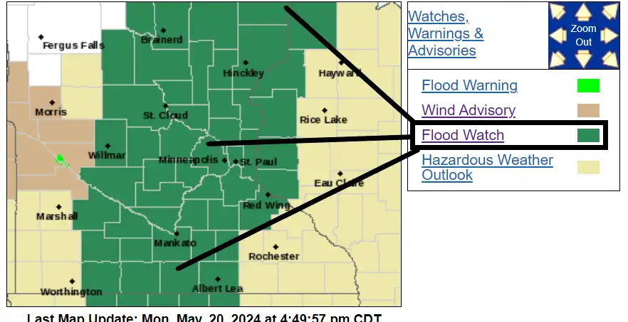
An unseasonably deep low-pressure storm is heading for Minnesota. Multiple waves of rain and thunderstorms will sweep across Minnesota from late Monday night through Tuesday.
The first of multiple rounds of rain and thunder this week is wrapping up early Monday. More thunder is possible south late Monday with severe weather possible Tuesday.
Drowning death rates increased nationally during the course of the pandemic, according to a new study. Another seasonal risk as we head into summer: bad air quality. On Monday, air pollution in the Twin Cities was the worst it’s been since last June.
When it comes to staying informed in Minnesota, our newsletters overdeliver. Sign-up now for headlines, breaking news, hometown stories, weather and much more. Delivered weekday mornings.