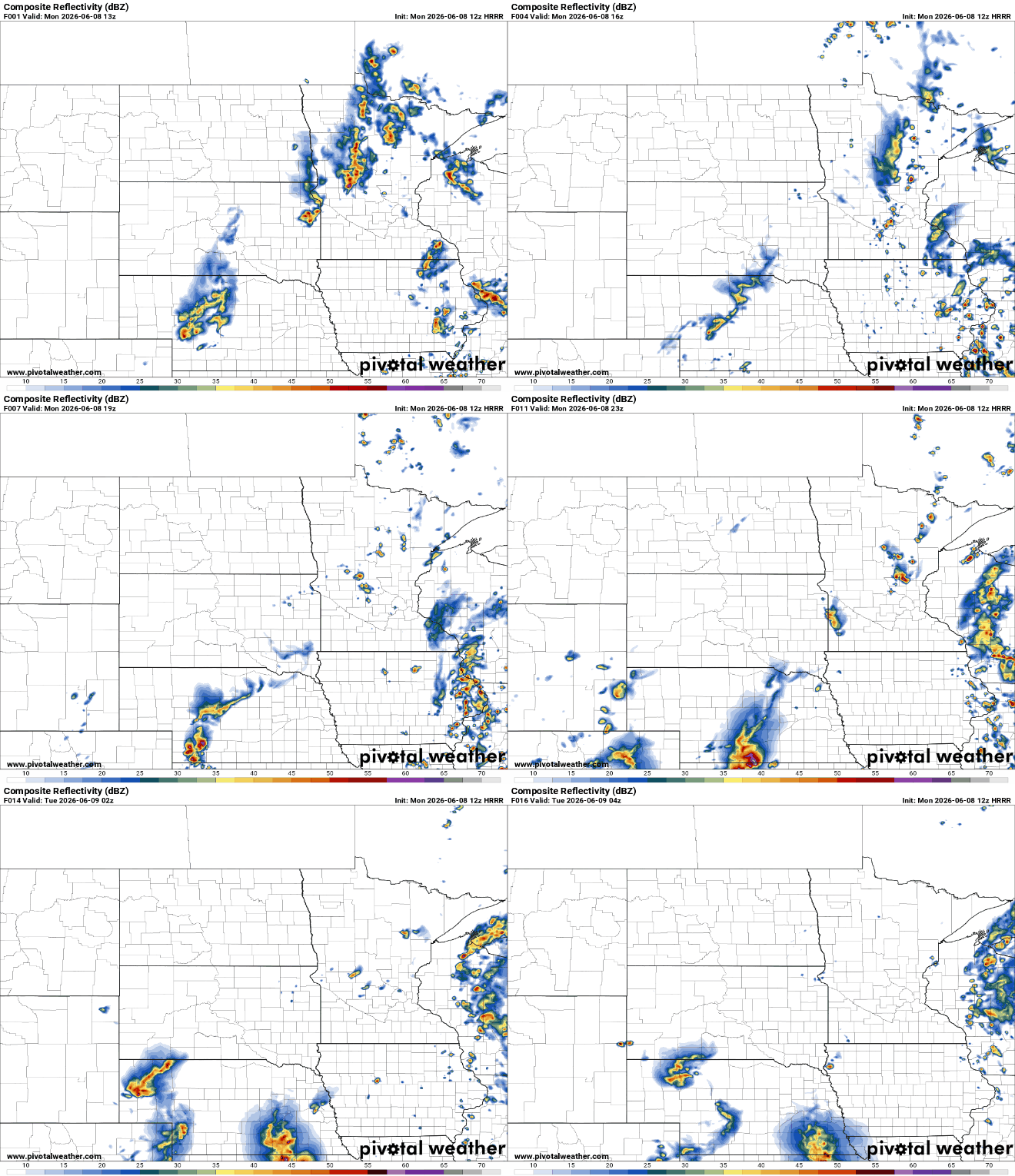
We’ll be hotter and muggier Tuesday and Wednesday. There’s potentially severe weather Wednesday with a risk level of three out of five in parts of the state.
We’re in for a steamy and stormy few days. We’ll have several chances of storms — some severe — especially Wednesday. It will also be hot and humid before a cool front moves in later in the week.
Amid Minnesota’s frequent temperature swings, there’s one place that scientists expect to stay consistently cool all year: underground. But a geologist says groundwater beneath Minneapolis is warmer than it should be, and he’s concerned that could cause problems above the surface.
An air quality alert remains in effect for much of the state through Sunday evening, and multiple rounds of showers and thunderstorms are expected from late Sunday through at least Wednesday.
An air quality alert remains in effect across much of Minnesota through Sunday evening as elevated ground-level ozone levels create unhealthy conditions for sensitive groups. Beyond the air quality concerns, rain chances return late Sunday into Monday before summer heat and humidity arrive in full force by the middle of next week.
The National Weather Service has issued a severe thunderstorm watch for the Twin Cities metro area until 11 p.m. Friday night as strong storms move across Minnesota.
Storms are possible Friday. A severe thunderstorm watch is posted across much of central and southern Minnesota until 11 p.m. The weekend looks lovely. More rain arrives Monday with strong or severe storms Wednesday.
Have you ever stepped outside after a summer rain and immediately thought, “Wow, it smells amazing out here!” That earthy, fresh, almost nostalgic scent has a name: petrichor.
When it comes to staying informed in Minnesota, our newsletters overdeliver. Sign-up now for headlines, breaking news, hometown stories, weather and much more. Delivered weekday mornings.