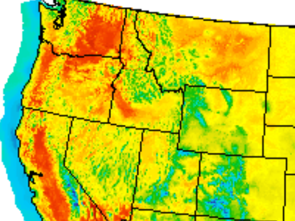
Expect very warm weekend temperatures. The heat continues into July Fourth, when some areas could see thunderstorms. We have your holiday weather details, plus a look at the National Weather Service report on the June 24 tornadoes in northwestern Minnesota.
Thunderstorms and downpours from earlier in the week weren't enough to eliminate drought and quench the state's drying landscape. Meteorologist Mark Seeley spoke with MPR News host Cathy Wurzer about the recent hot, dry weather.
The heat of June will overflow into July. Highs will be near or above 90 degrees Friday through Tuesday. The next chance of thunder comes late Monday into Tuesday ahead of a cool front.
After a Thursday evening thunderstorm chance, most of us will see a quiet and warm stretch of weather Friday through Sunday. An air quality advisory continues into Friday in Wisconsin.
West winds will continue to improve the air quality statewide through the day. Isolated thunderstorms are possible late Thursday afternoon. Temps heat up this weekend.
Air quality will continue to improve Thursday with a shift in the winds. Highs will be well into the 80s with isolated late afternoon thunder possible, especially north.
With a record-high 23 air quality alerts so far this year in Minnesota, questions of how to safely participate in valued outdoor summer activities linger — along with the smoke.
When it comes to staying informed in Minnesota, our newsletters overdeliver. Sign-up now for headlines, breaking news, hometown stories, weather and much more. Delivered weekday mornings.