Weather and Climate News

Cold, windy Wednesday then warmer Thursday; more snow possible late Friday
Cold and wind are the themes for Wednesday. Winds will blow from the northwest at 15-25 mph with gusts of 30 to 40 mph. Wind chills will be in the single digits east and subzero west. Overnight Wednesday night will bring temperatures into the single digits for most. Thursday and Friday will be warmer but more snow is possible late Friday into Friday night.
Strong thunderstorms and tornadoes are moving through parts of the South
Weather forecasters are warning of the potential for strong thunderstorms and tornadoes across a wide swath of the South Wednesday, including across Mississippi, Georgia and the Florida Panhandle.
Tuesday storm totals snowball; cold Wednesday on the way
A wintry air mass blows in behind the system Wednesday. Highs will hover in the 20s across southern Minnesota with teens up north. Temps on Friday will soar into the 40s again in the south, with 30s up north.
Winter storm warning through 9 p.m. Tuesday; cold winds howl Wednesday
The snow should wrap up by 8 p.m. in the metro area but run through Tuesday night north and east. Expect subzero and single-digit wind chills across Minnesota Wednesday.
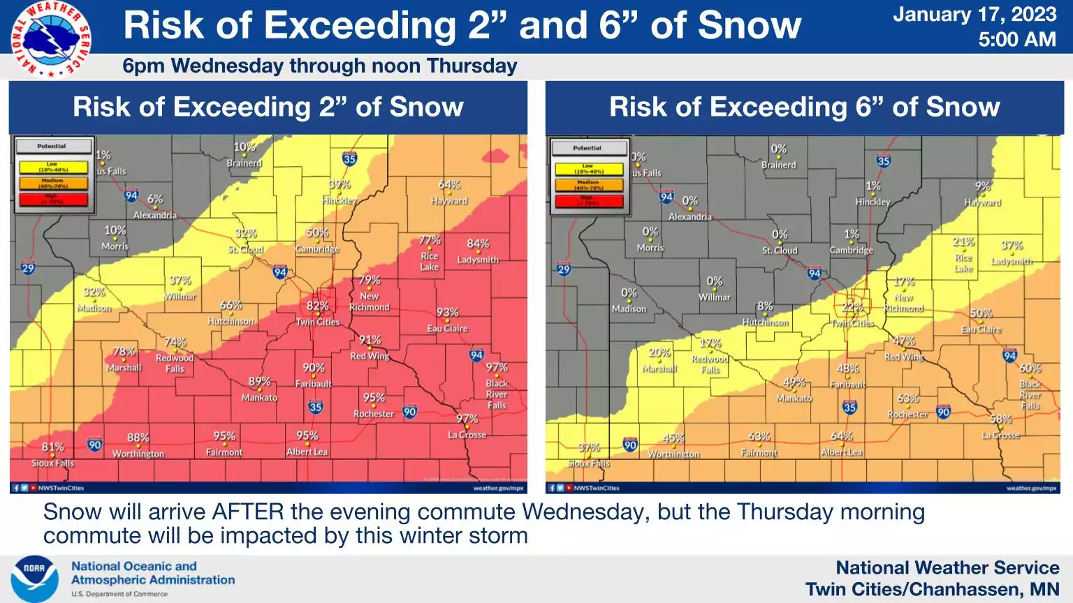
Snowy mess Tuesday; 2-6 inches possible across Twin Cities region
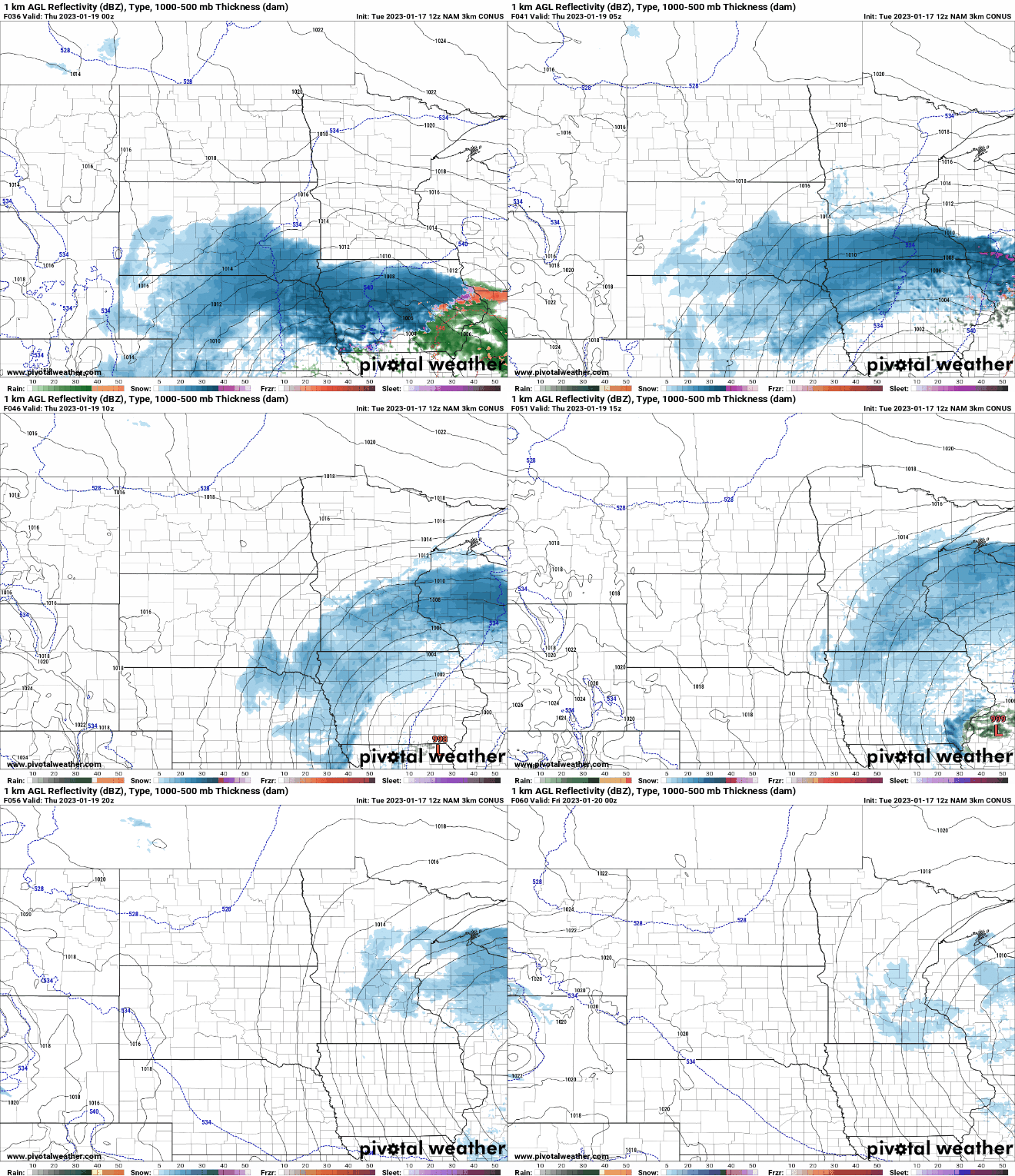
Morning and afternoon rush hours Tuesday in the Twin Cities will likely feature snow and slick roads as southern Minnesota gets a snow shot. The North Shore also looks likely to get some snow.
 Snow, colder temps return after mild Monday
Light snow will brush northern Minnesota Monday while southern Minnesota sees mild temperatures in the 40s. Heavier snow develops Monday night into Tuesday across central and southern Minnesota with a mix in southeastern Minnesota. Cold and wind blow in Wednesday.