Thousands of flights across the U.S. were canceled or delayed Monday as powerful storms swept across the eastern half of the country and a partial government shutdown affecting airport security screeners dragged into a second month.
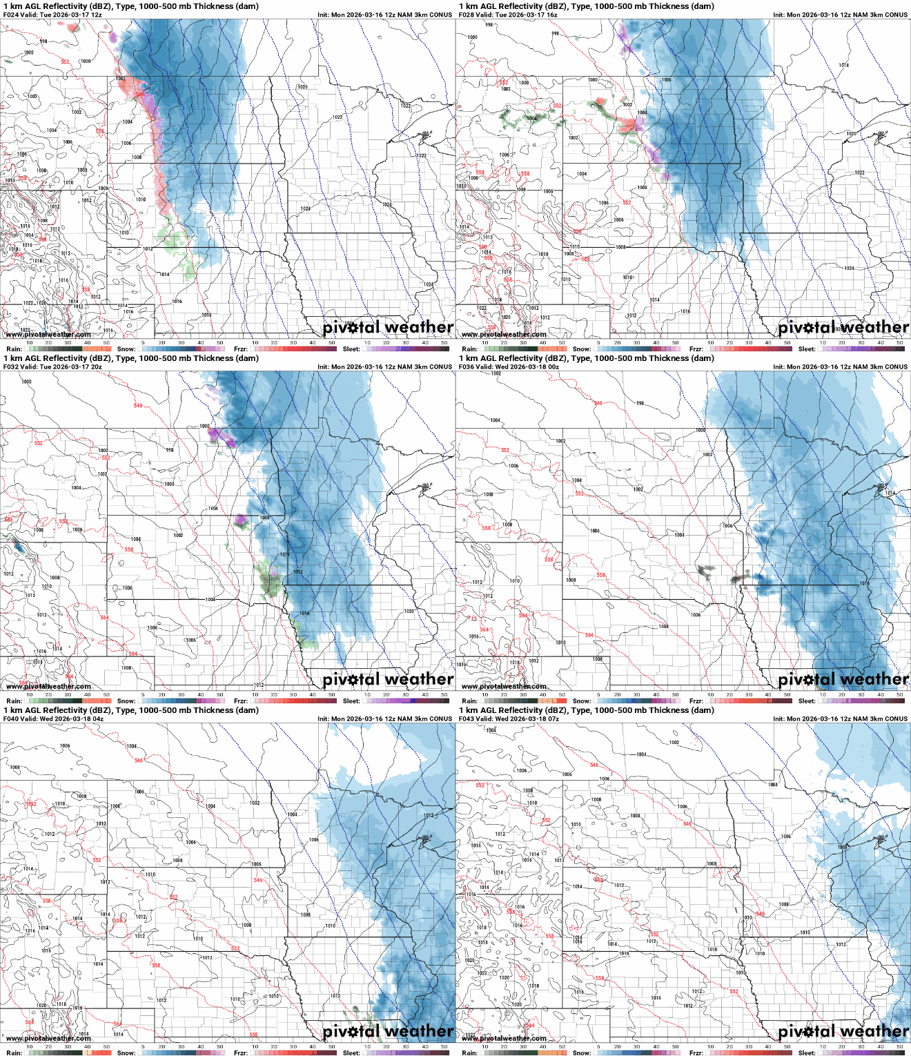
A cold Monday night is ahead across the Upper Midwest as clear skies and fresh snowpack allow temperatures to plunge below zero before another round of snow arrives Tuesday.
MPR News host Chris Farrell and meteorologist Sven Sundgaard talk about the powerful March snowstorm that brought blizzard conditions and dangerous travel to central and southern Minnesota over the weekend.
Cold air is in place after our big snow. Temperatures will be about 10 to 30 degrees below normal today. A clipper systems brings more snow showers Tuesday. The week ends much warmer.
Minnesota transportation officials closed highways in south-central Minnesota on Sunday evening — including a long stretch of Interstate 90 — with blizzard conditions expected to continue into early Monday.
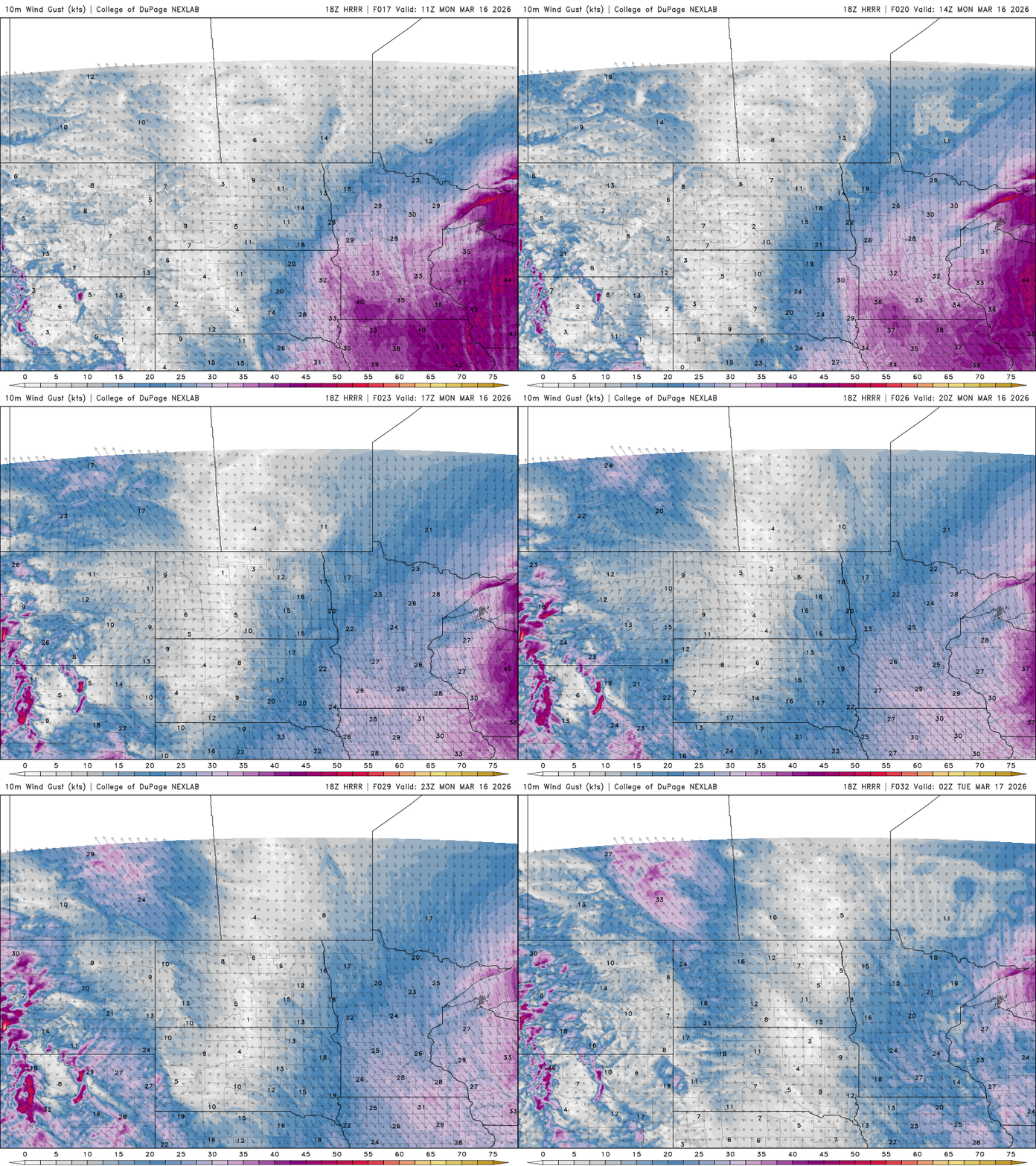
While the heaviest snow has already fallen, blizzard conditions will continue into Sunday night as powerful winds blow around the fresh snowpack. Snowfall is expected to finally wrap up late tonight.
Blizzard conditions continue to develop across central and southern Minnesota as a powerful late-season storm produces intense snowfall rates and powerful wind gusts approaching 60 mph, creating dangerous travel conditions.
When it comes to staying informed in Minnesota, our newsletters overdeliver. Sign-up now for headlines, breaking news, hometown stories, weather and much more. Delivered weekday mornings.