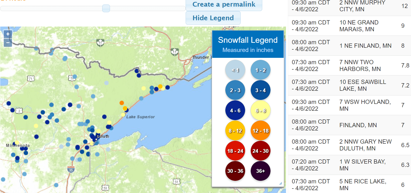
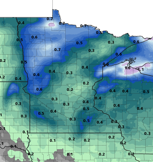
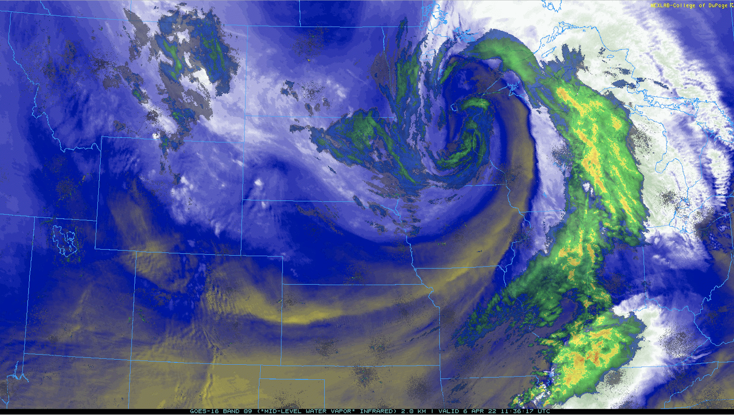
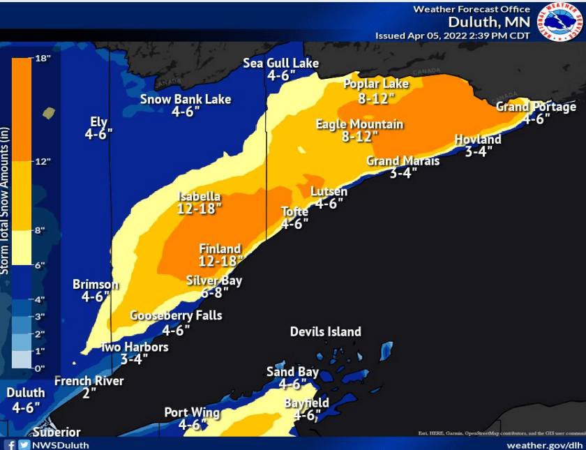
Thursday will be our final day of significant impacts from this storm system. Rain and snow showers will continue to rotate around our slow-moving storm system. Sunshine will break out from west to east by late Friday with a warmer weekend ahead.
Thursday will mark our third day of wind-driven rain and snow showers but the end is in sight. Dry, but still cloudy, weather can be expected Friday before clearing skies and warmer weather sets in.
Wind-driven rain and snow showers are on the backside of our latest storm. Saturday brings bright, welcome sunshine to Minnesota, with highs reaching 50 degrees in the south.
Northern Minnesota will continue to see snowfall Wednesday with rain and snow showers in southern Minnesota. High winds will continue in western Minnesota. Sunshine returns Saturday with highs in the low 50s in the Twin Cities and 40s in much of the rest of the state.
Expect additional waves of snow up north and rain mixing with snow in southern Minnesota Wednesday into Thursday. The Twin Cities could get another snowy coating by Thursday morning.
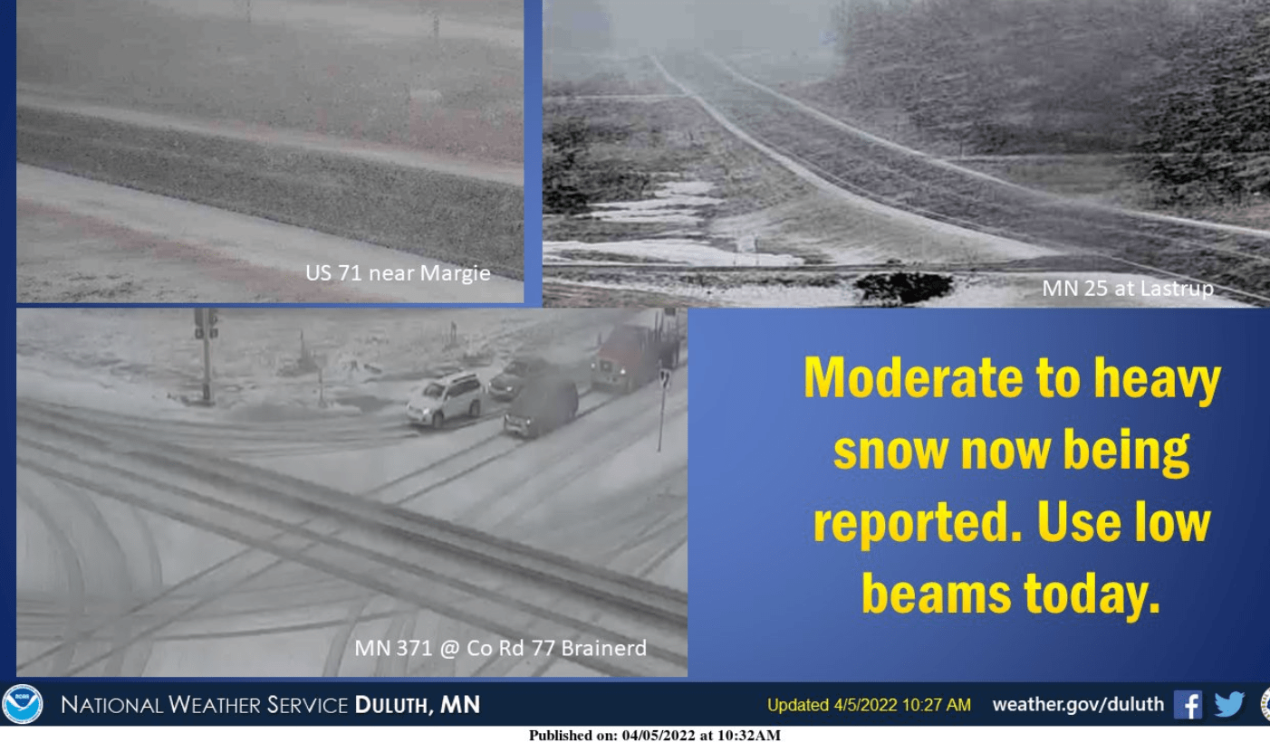
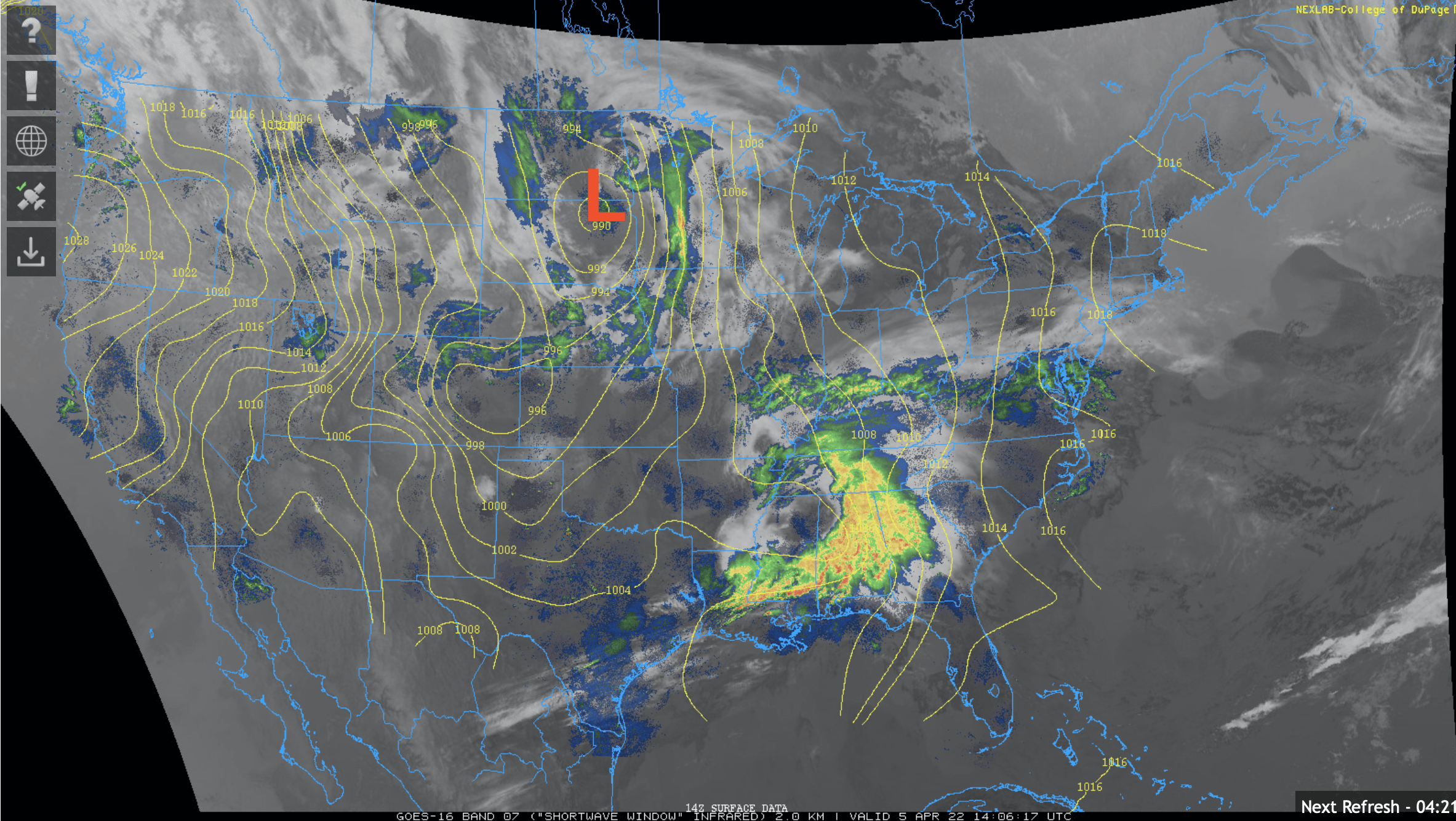
Periods of rain will dominate the midday and afternoon Tuesday in southern Minnesota with rain and snow in northern Minnesota where some places will see accumulations. Heavier snow develops overnight north.
When it comes to staying informed in Minnesota, our newsletters overdeliver. Sign-up now for headlines, breaking news, hometown stories, weather and much more. Delivered weekday mornings.