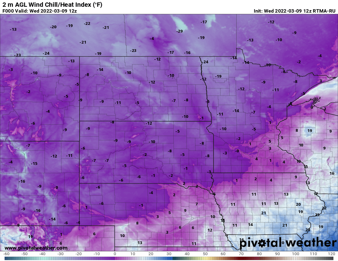
Highs Wednesday will range from the low 20s in the southeast to just single digits in the northwest. Expect subzero wind chills across the state Thursday and subzero temps overnight Friday into Saturday. Highs soar into the 40s Sunday, the start of a big warmup.
Temperatures are once again colder early Wednesday morning. Readings range from the single digits north to teens in the south. High temperatures Wednesday will be just in the low 20s south to single digits northwest.
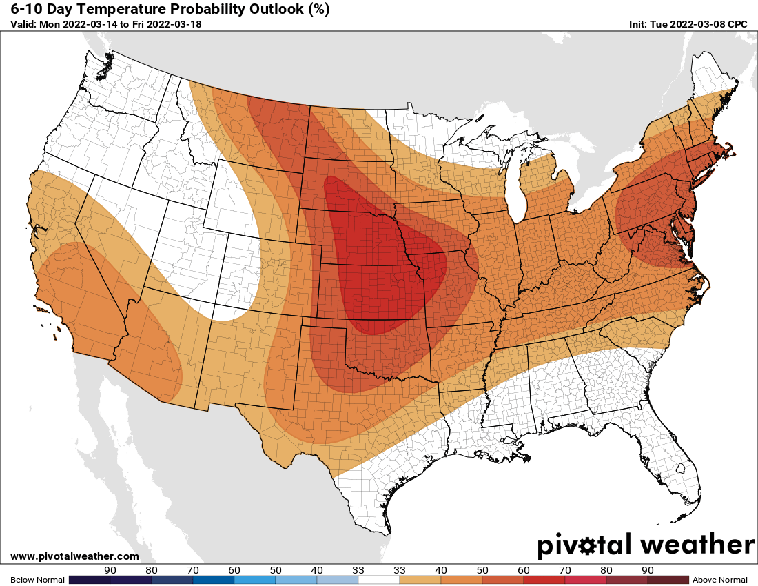
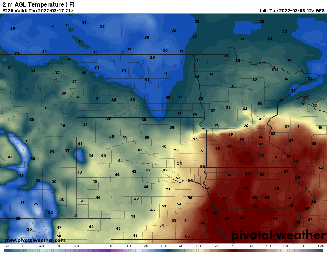
Tuesday will bring our warmest temperatures of this week with most of Minnesota in the 30s to even near 40 in the south. Expect much colder conditions the next several days. The state rapidly warms Sunday to near 40 for many, and all of next week looks much warmer.
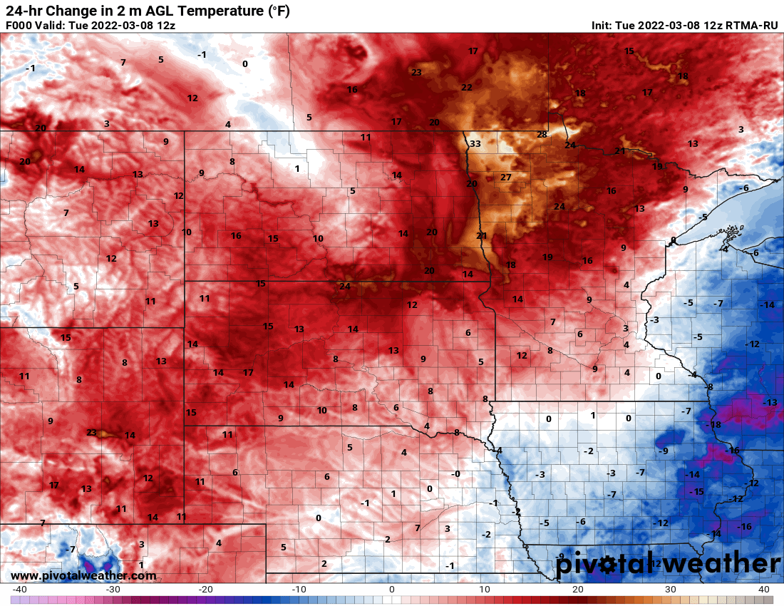
Temperatures are already up to 20 to 30 degrees warmer in western Minnesota early Tuesday morning; a sure sign of warmer air for the day. Highs will be 30s to near 40 in the southern part of the state to near 30 in the north. A cold front will bring flurries and light snow showers ahead of it with a dusting to a coating of accumulation for mainly northern Minnesota.
When it comes to staying informed in Minnesota, our newsletters overdeliver. Sign-up now for headlines, breaking news, hometown stories, weather and much more. Delivered weekday mornings.