Blizzard warnings continue Friday afternoon in much of northwestern Minnesota and parts of west-central and central Minnesota. Also, winter weather advisories now include the Twin Cities metro area Friday afternoon and evening.
State transportation officials closed several major highways in northwestern Minnesota on Friday morning as a winter storm brought blizzard conditions to the region.
A vigorous clipper system is bringing major wind to Minnesota Friday. Northern Minnesota will also see more significant snow accumulations and what snow does fall is creating blizzard conditions in northwest Minnesota. Southern Minnesota will see just a dusting of snow but also high wind gusts of up to 50 mph.
Temperatures are already warmer statewide as south winds are blowing in milder air Friday. Snow is already falling Friday morning in northern Minnesota where several inches will fall. High winds will create blizzard conditions in northwest Minnesota. Farther south, little accumulation is expected but high winds will develop late in the day.
We’ll have fairly quiet weekend weather, with our warmest temps on Sunday. Northern Minnesota could see a few hours of snow. We have your weekend forecast details.
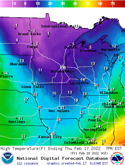
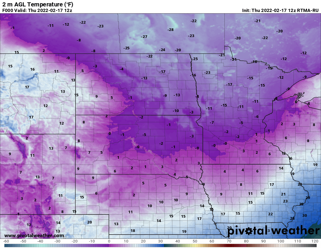
After a subzero start for most of the state Thursday, high temperatures will sit in the single digits. Expect snow showers Friday. Temps soar on Sunday, but significant snow may be on the horizon Monday and Tuesday.
Much of Minnesota is below zero with wind chills in the 20s and 30s below zero in the north and teens below zero in the south. Temperatures are right around zero in the Twin Cities. We’ll see highs just in the single digits this afternoon.
When it comes to staying informed in Minnesota, our newsletters overdeliver. Sign-up now for headlines, breaking news, hometown stories, weather and much more. Delivered weekday mornings.