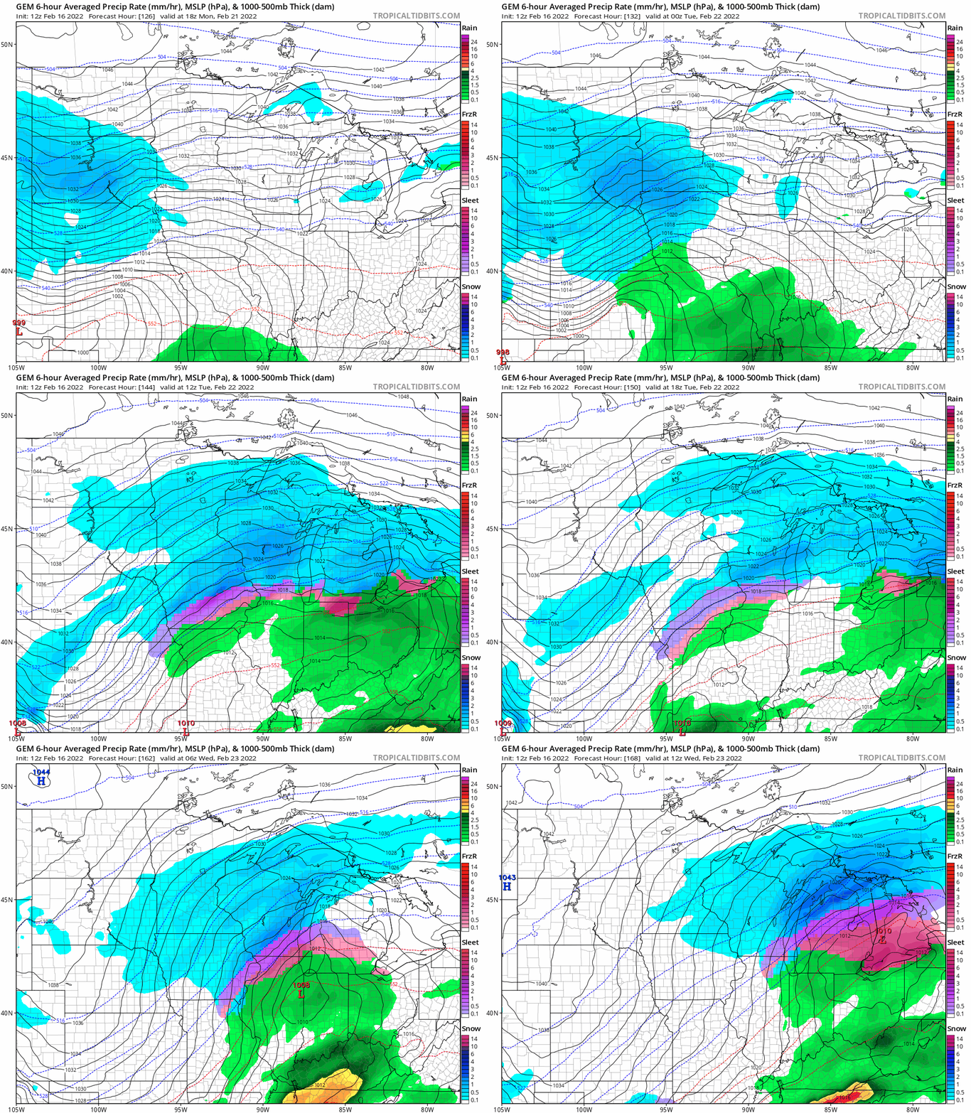
Another cold front brings falling temperatures and breezy conditions to Minnesota Wednesday. Temperatures fall slowly into the teens by evening in the south and well below zero in the north. Sunday will be mild. Significant snow may be on the horizon next week.
A cold front has swept through most of the state early Wednesday and temperatures will hold steady or even drop through the day behind it. We’ll see temperatures in the Twin Cities drop from the mid-20s to around 20 by late afternoon then just below zero overnight. Northwestern Minnesota is already in the single digits and will be near 20 below tonight in some places.
Blustery south-southeast winds will push temperatures higher Tuesday but also create some snow showers for northern Minnesota, with most places seeing a coating to one-half inch. Colder air returns Wednesday and Thursday.
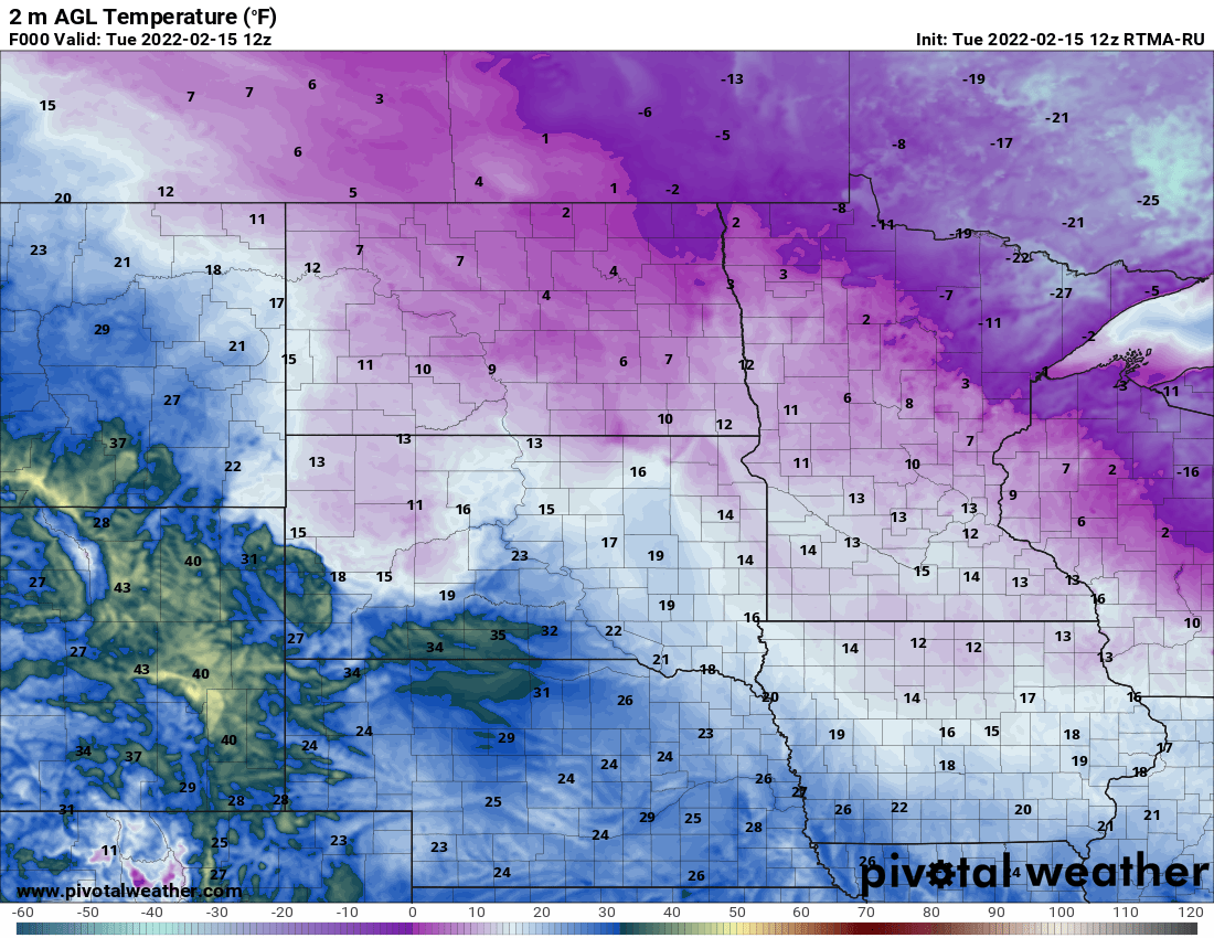
The cold, arctic air is still clinging onto far northeastern Minnesota early Tuesday. Temperatures are in the 20s below zero for some spots. Most of us are considerably warmer with teens in the south and a strong southeast wind already blowing at 15-20 mph.
An annual rite of approaching spring in the Upper Midwest gets underway this week, as the U.S. Army Corps of Engineers begins measuring the ice thickness on the Mississippi River at Lake Pepin.
When it comes to staying informed in Minnesota, our newsletters overdeliver. Sign-up now for headlines, breaking news, hometown stories, weather and much more. Delivered weekday mornings.