We’ll have very cold temps this weekend, along with ample sunshine. Some of us will see some flakes Saturday evening. We have your updated weekend forecast, plus the latest Minnesota snow depth map.
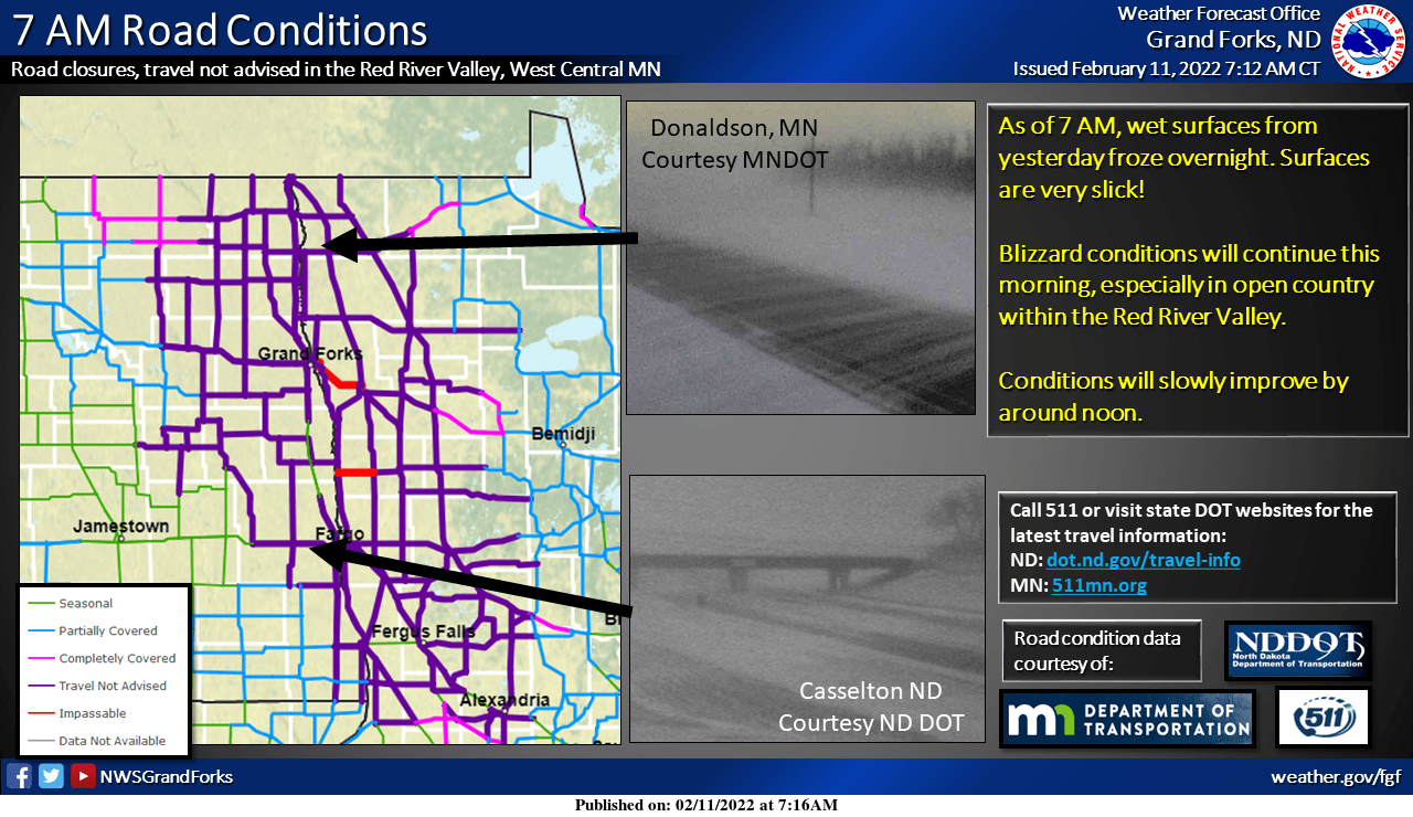
Several major highways in west-central and northwestern Minnesota were closed Friday morning as north winds gusting to near 50 mph created blizzard conditions.
Gusty winds and falling temperatures are spreading across Minnesota, with blizzard conditions in the northwest. Temps fall into the teens Friday afternoon. Expect single-digit highs across most of Minnesota Saturday. Conditions will be slightly warmer Sunday.
While starting out mild early Friday, temperatures will drop through the day as northwest winds howl and bring a return to colder temperatures for the bulk of the weekend along with some scattered snow showers Friday. Blizzard conditions throughout eastern North Dakota and northwest Minnesota have prompted a no-travel advisory.
Our weekend will feature cold temps and plenty of sunshine. Some spots will see flakes Saturday evening. And we have an update on our Thursday snow potential.
Temperatures warm into Thursday evening, moving from mostly single digits and teens to the 30s for the southern half of Minnesota. By early Saturday morning, most of Minnesota will be back below zero.
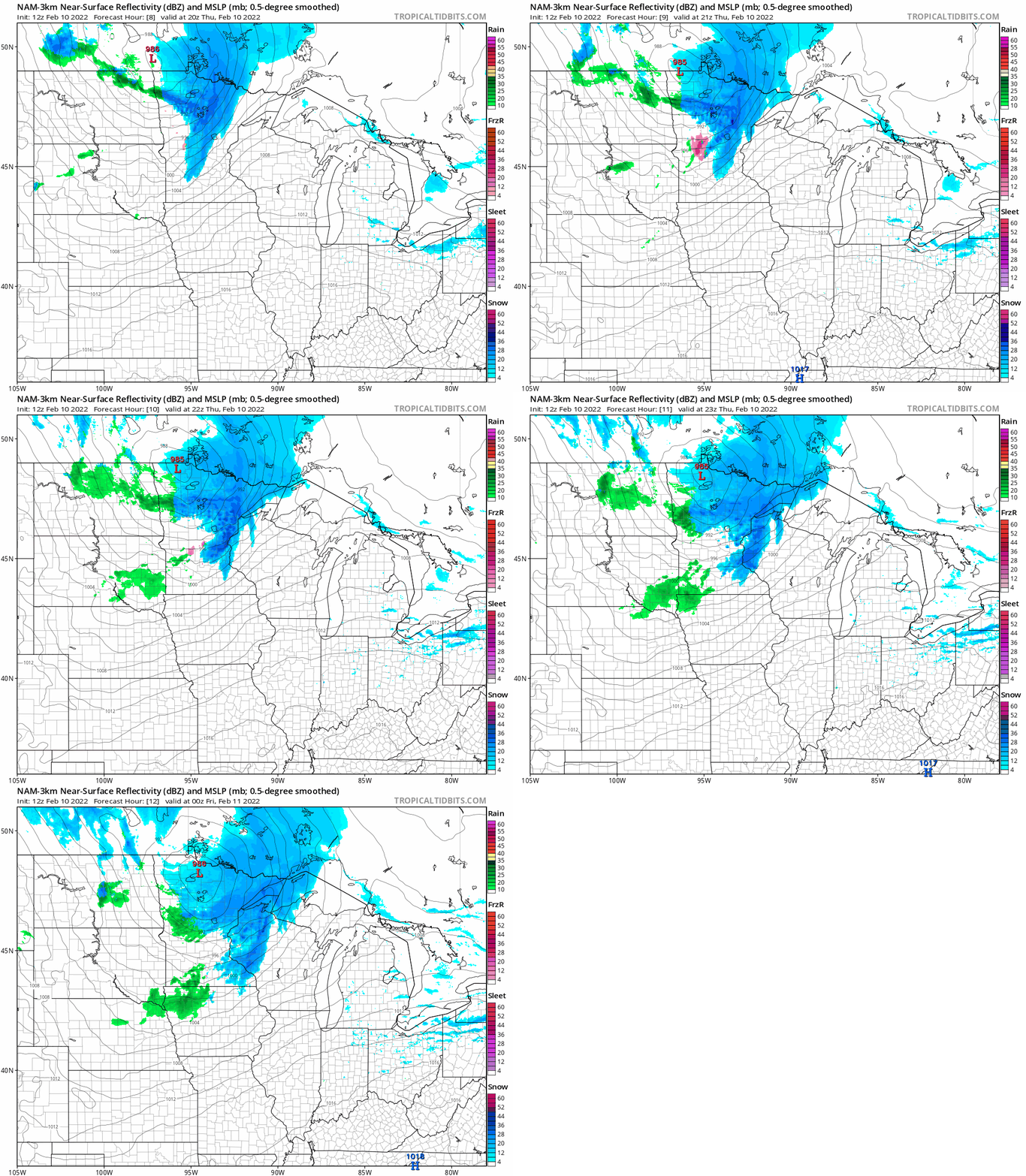
Despite a cooler start early Thursday, temperatures will rapidly warm late as a clipper system brings snow and above freezing temperatures by evening with the possibility of light rain overnight Thursday night. It will be another windy day as well.
When it comes to staying informed in Minnesota, our newsletters overdeliver. Sign-up now for headlines, breaking news, hometown stories, weather and much more. Delivered weekday mornings.