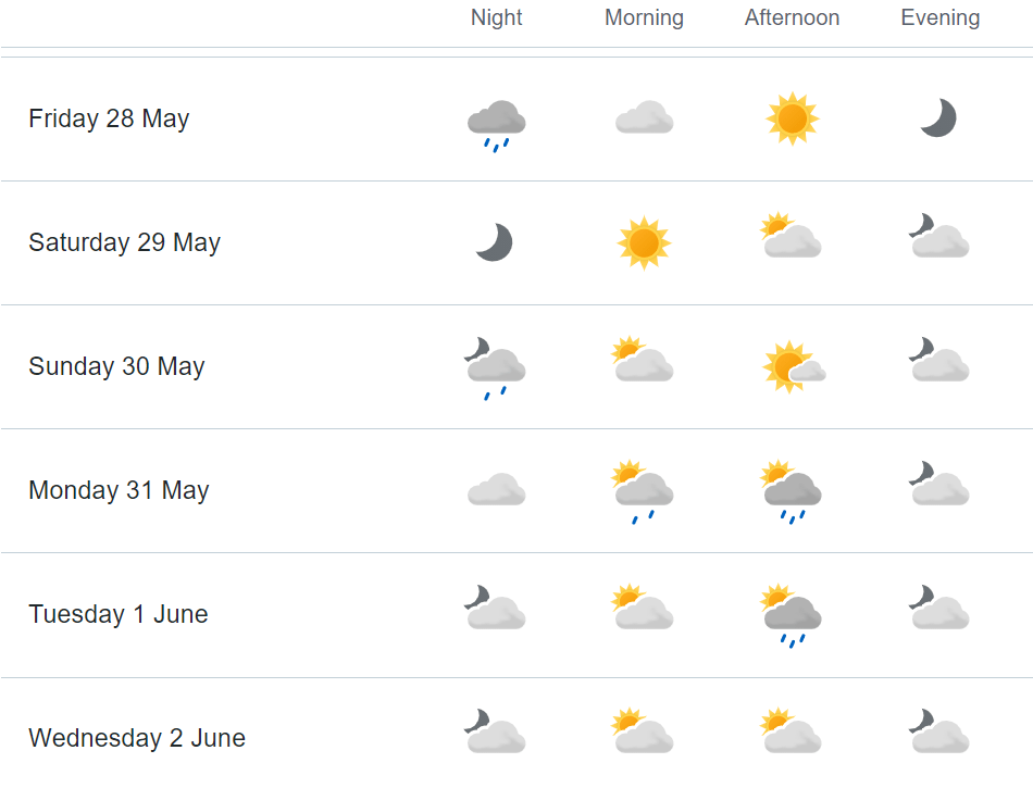
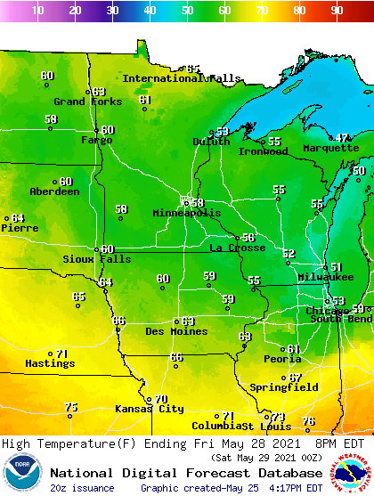
Showers and storms continue across Minnesota Wednesday, and the areas seeing the most persistent rainfall through the day may only see highs in the 40s.
In May, NOAA will release its once-a-decade update for the 30-year weather averages that local meteorologists use. In many places, it will mean far fewer days that are “above normal.”
Following record warmth Sunday and Monday, temperatures trend cooler as clouds and rain start to spread across Minnesota, then the rest of the week turns soggy.
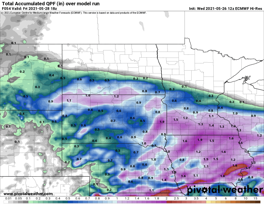
Record warmth blanketed Minnesota Monday, Scattered storms favor Monday night. Then this week turns wet with 1 to 3-inch rainfall possible in much of Minnesota.
Following record warmth Sunday and likely Monday, temperatures cool as Minnesota heads into a much wetter pattern through the end of the week. That wet weather includes a risk for severe storms Monday evening.
When it comes to staying informed in Minnesota, our newsletters overdeliver. Sign-up now for headlines, breaking news, hometown stories, weather and much more. Delivered weekday mornings.