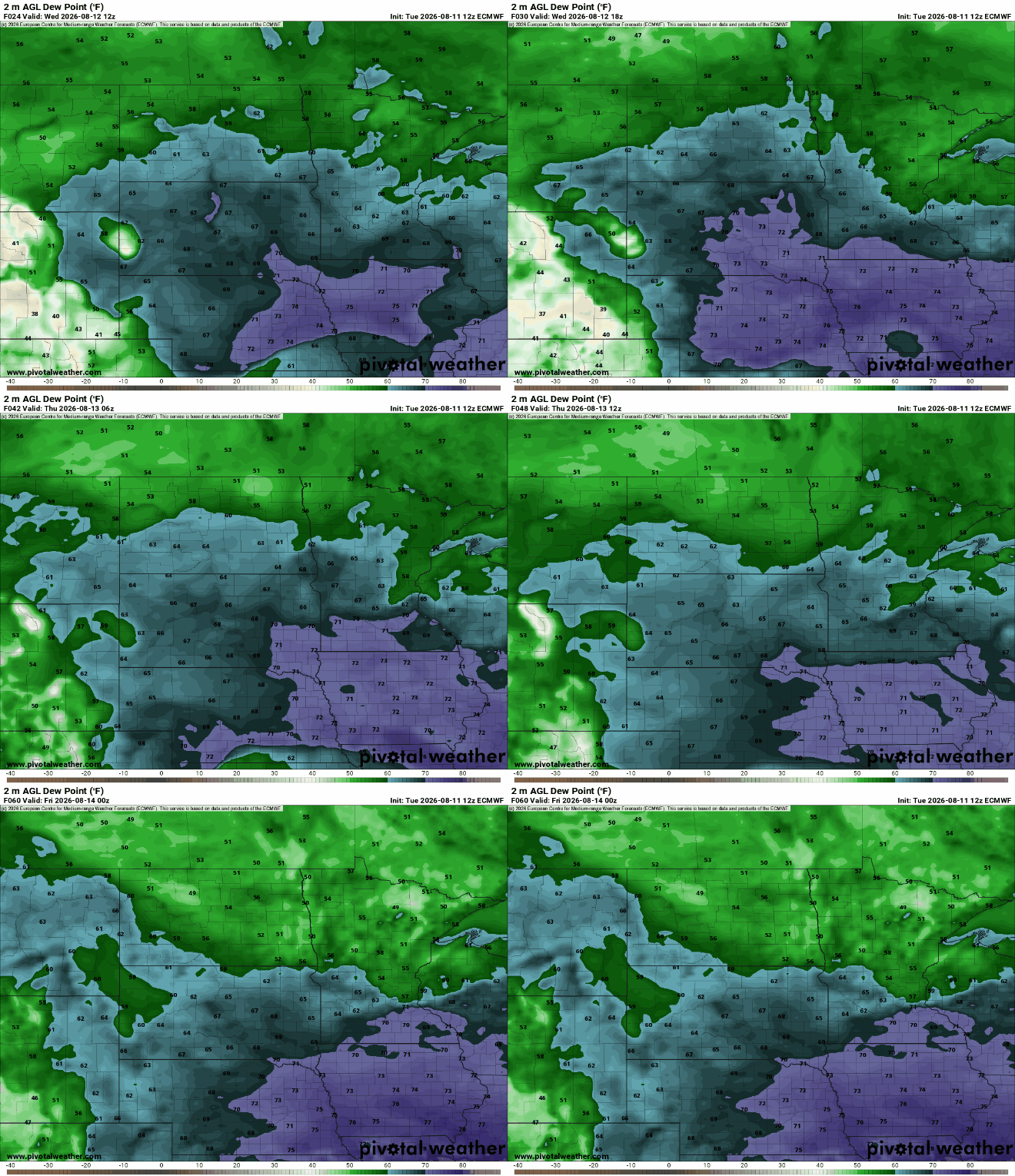
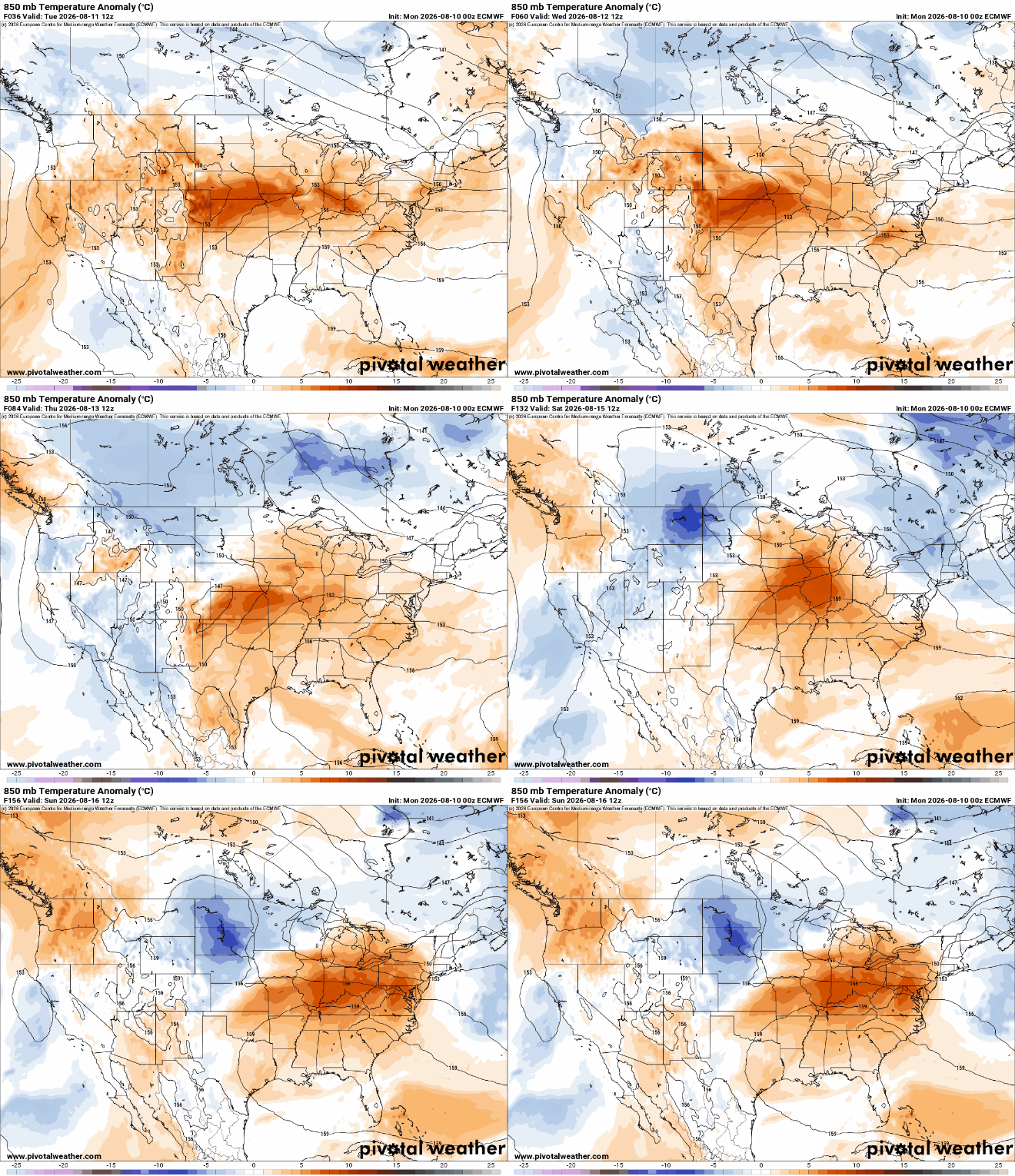
The chaotic “ring of fire” weather pattern continues through at least the Fourth of July. While helpful showers will ease Minnesota’s drought conditions, they will throw some challenges into planning around outdoor activities this holiday weekend.
After several rounds of beneficial rainfall, Minnesota's drought has finally caught a breather. While recent storms have helped prevent conditions from worsening and even chipped away at the state's most intense drought, large portions of central and northern Minnesota remain thirsty heading into July.
Torrential rain early Thursday led to flash flooding across parts of southern Minnesota, leading to water rescues and forcing several roadway closures, including Interstate 90. It has since reopened.
Thursday will be hotter with highs near 90 degrees. More storms are possible later in the afternoon into the overnight. We have additional storm chances Friday and Saturday.
Expect several more quick-hit thunderstorms in the days ahead. None of these storm complexes will affect all parts of the state. Temperatures will stay above average. At least a few thunderstorms are likely on the Fourth of July.
Every day the forecast features heat, with storms skipping a day, from Monday to Wednesday to Friday to Sunday. Next up, we get some thunder at the southern end of Minnesota. We could also pick up some more haze by Wednesday.
With continued high heat and energy blackouts because of storms, an Xcel Energy representative offered guidance on the best ways to keep your home cool.
With another day of sweltering heat on the way for much of Minnesota — thousands of homes and businesses were without power across the state on Tuesday.
The heat and humidity continue but it won’t be quite as humid Tuesday. Temps will cool slightly by early next week and we’ll have some additional storm chances.
When it comes to staying informed in Minnesota, our newsletters overdeliver. Sign-up now for headlines, breaking news, hometown stories, weather and much more. Delivered weekday mornings.