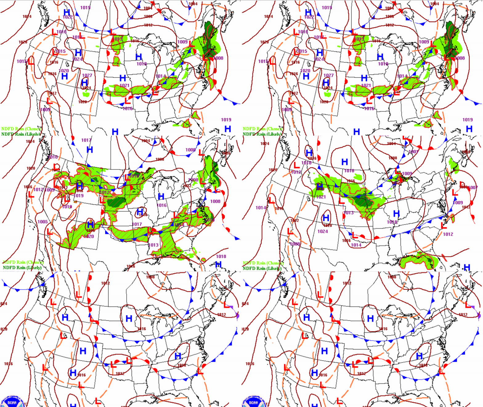
Our week is off to a quiet start, but storm chances will increase by Tuesday, bringing the potential for heavy rainfall and a few strong to severe thunderstorms. Temperatures will remain close to seasonal averages through much of the week before a possible warm-up arrives next weekend.
After a wet and stormy holiday weekend, quieter weather returns for Sunday and Monday. However, the forecast becomes much more active by Tuesday night as the potential for severe thunderstorms and heavy rain continues to increase.
If you're planning to wrap up your Independence Day with fireworks, don't forget to check the radar before heading out. While the weather won't be a washout, scattered thunderstorms could develop Saturday evening and briefly impact some celebrations.
We’ll still be tracking scattered showers and non-severe thunderstorms for Independence Day. Saturday won’t be totally dry, necessarily, but at least we won’t have quite as much lightning as in recent days.
Rivers and creeks continued to recede in southeast Minnesota on Friday, a day after torrential rain led to flash flooding. But assessment and cleanup of the damage was just beginning.
Morning shower and thunderstorm activity will fizzle with decreasing clouds for midday. More storms will be possible tonight and Saturday but overall a dry break Sunday into Tuesday.
The chaotic “ring of fire” weather pattern continues through at least the Fourth of July. While helpful showers will ease Minnesota’s drought conditions, they will throw some challenges into planning around outdoor activities this holiday weekend.
When it comes to staying informed in Minnesota, our newsletters overdeliver. Sign-up now for headlines, breaking news, hometown stories, weather and much more. Delivered weekday mornings.