Authorities in southern Minnesota say several people and pets were rescued Wednesday night after being trapped in their homes due to flash flooding. Parts of Interstate 90 were closed overnight.
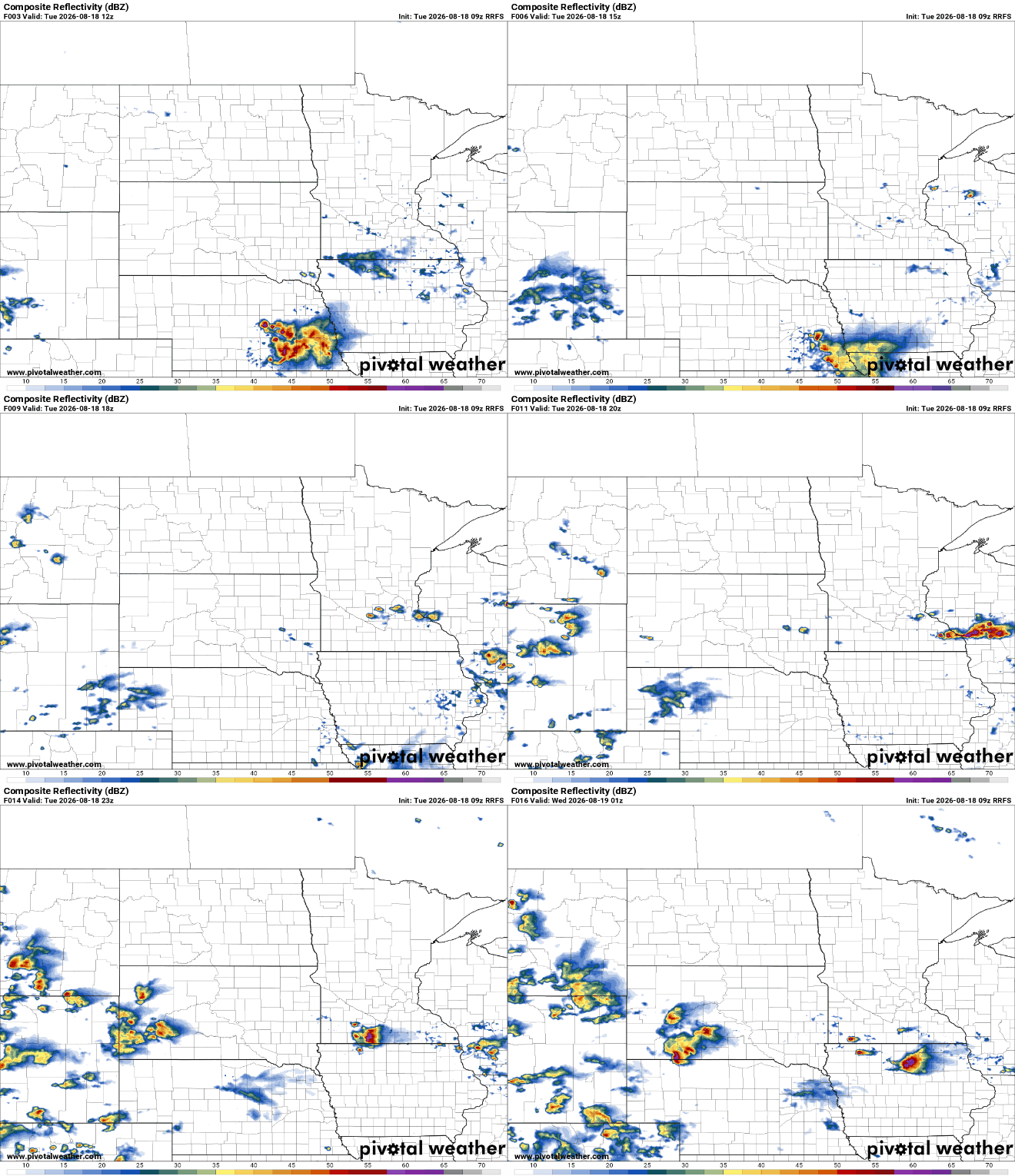
Torrential rain led to flash flooding in parts of southern Minnesota on Wednesday, forcing the closure of a stretch of Interstate 90 for the second time in less than a week.
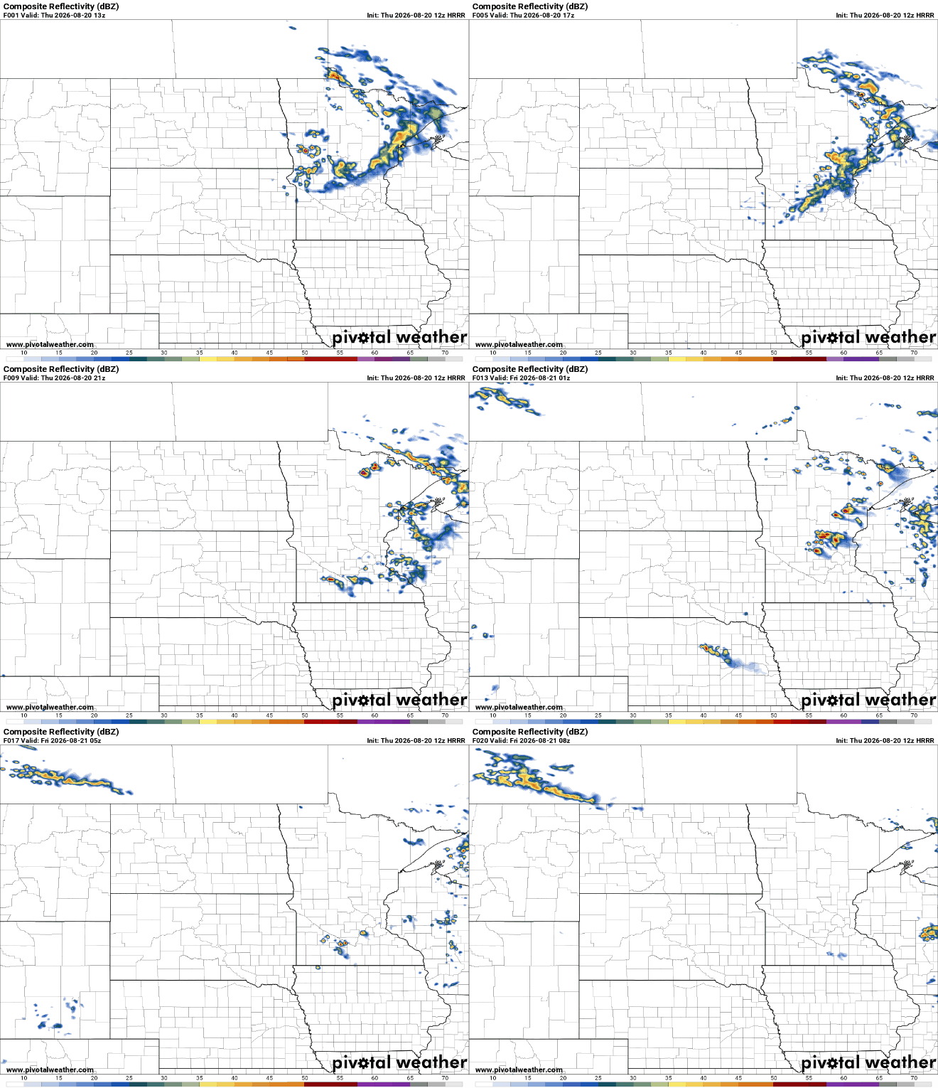
There’s quieter weather Wednesday afternoon across much of Minnesota, although late evening thunderstorms are expected in southeastern Minnesota into La Crosse, Wis. A heat wave starts Sunday and continues for much of next week.
These types of tornadoes “can appear to probably come out of nowhere,” Tommy Grafenauer, a meteorologist at the National Weather Service office in Grand Forks, N.D., told MPR News.
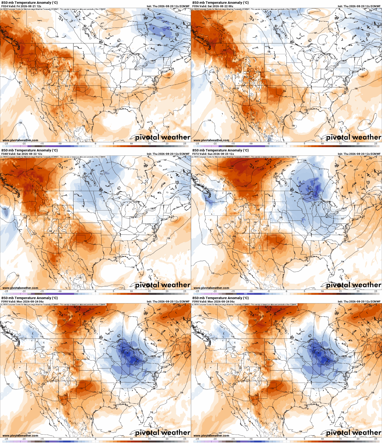
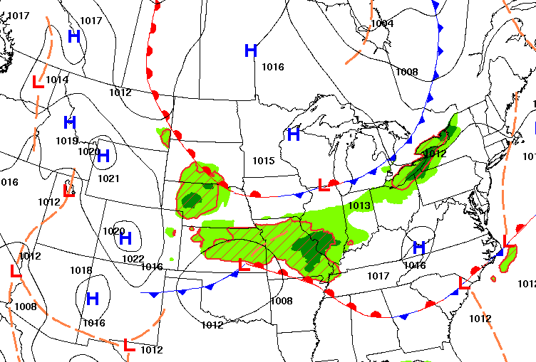
We’ll see scattered showers and storms ahead of a cool front in southern Minnesota Wednesday. Cooler, less humid air moves in for a couple days before heat builds this weekend.
There’s a risk of severe weather and flash flooding across a band of central Minnesota Tuesday night into Wednesday. Weather threats should ease after that but a heat dome builds back in for the weekend.
The National Weather Service confirmed a tornado with windspeeds of 115 mph touched down Monday in an area north of Detroit Lakes. A few people were injured, and the twister downed trees and power lines and damaged homes and buildings.
We are in scorching hot and muggy season across the state. Rain is back later Monday afternoon in the northwest, then it moves south toward Minneapolis and St. Paul near midnight. There are several more rounds of rain ahead and we’re heating back up next weekend.
When it comes to staying informed in Minnesota, our newsletters overdeliver. Sign-up now for headlines, breaking news, hometown stories, weather and much more. Delivered weekday mornings.