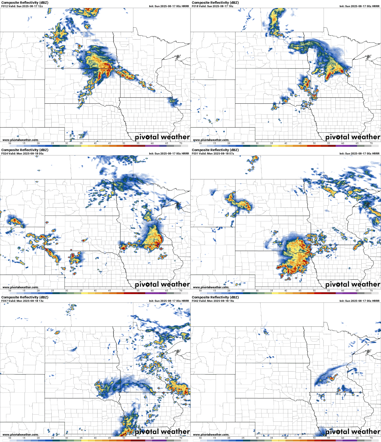
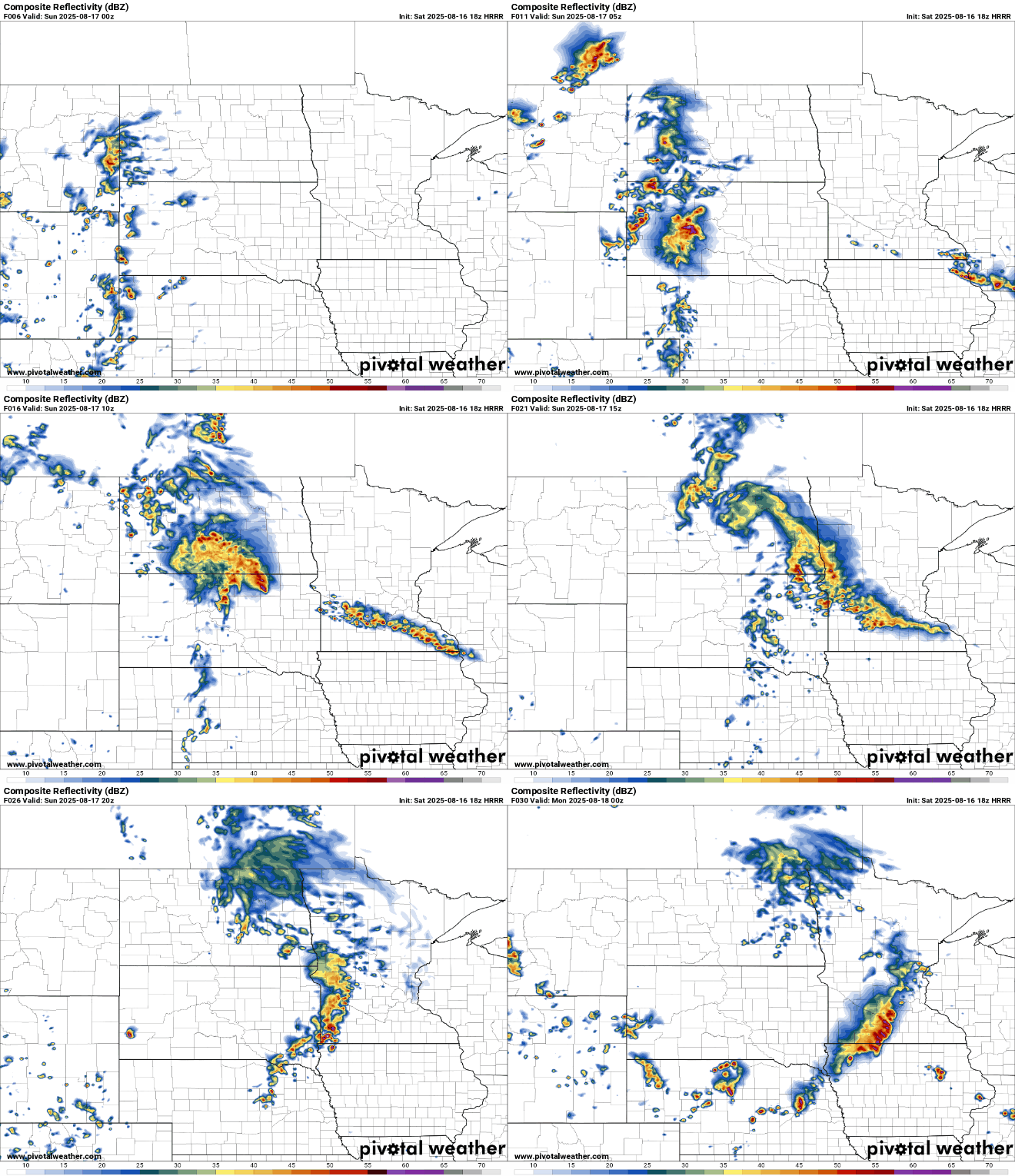
Heavy rain is expected to return late Sunday night, prompting a flood watch for portions of the state. Another round of showers and thunderstorms will move through the area, bringing the potential for heavy rainfall and possibly severe weather. Flash flooding, gusty winds, and localized downpours will be the main concerns heading into Monday.
Spain is deploying 500 more soldiers to help battle wildfires that have ravaged parched woodlands during a prolonged heatwave, Prime Minister Pedro Sánchez said.
Heavy rains continue to pour across the state, with rainfall amounts between 3-5 inches triggering flash flooding in several areas. More rain is expected later Sunday, some of which could be heavy and accompanied by gusty winds.
As a frontal boundary stalls across the state, it will help fuel rounds of showers and thunderstorms, with heavy rainfall expected. Rainfall totals of 2 to 4 inches are possible in some areas, raising concerns for flash flooding.
The first Atlantic hurricane of 2025, Erin ramped up from a tropical storm to a Category 5 hurricane in a mere 24 hours. By late Saturday morning, its maximum sustained winds more than doubled to 160 mph.
Heavy rains soaked the region at daybreak, with rumbling skies and strong gusts sweeping through at times. After a brief lull in the action, another round of showers and thunderstorms is possible late Saturday night, mainly targeting the south metro and southern Minnesota.
When it comes to staying informed in Minnesota, our newsletters overdeliver. Sign-up now for headlines, breaking news, hometown stories, weather and much more. Delivered weekday mornings.