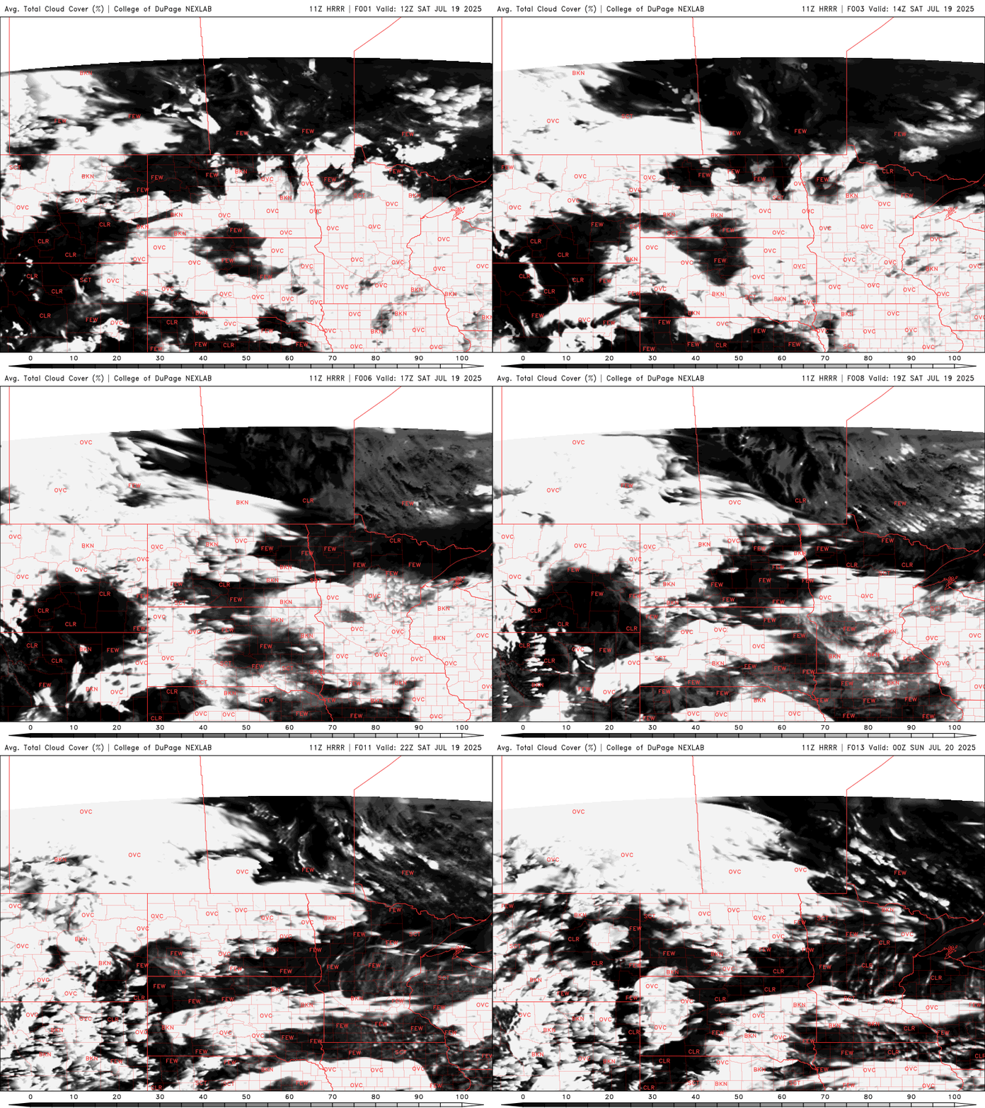
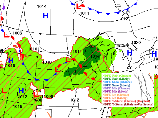
A wonderful start to the weekend as high pressure builds in, bringing sunshine and comfortable temperatures in the 70s. Despite the pleasant weather, an air quality alert is in effect Saturday afternoon for northern Minnesota.
Drought conditions across Minnesota are minimal heading into the second half of summer, thanks to recent rainfall. However, we’re not in the clear yet — forecast models point to a warm, dry pattern for the rest of July, which could quickly reverse those gains.
Our next chance of rain and thunder develops Friday into Friday night. Clouds decrease Saturday with highs both Saturday and Sunday closer to 80 degrees again.
If the latest weather has you craving pumpkin spice lattes and oversized sweaters, I hate to break it to you but it’s still mid-July. Enjoy the brief stretch of cooler days while they last. Summerlike warmth and humidity return next week.
We’ll have sunshine with below-normal temperatures and dew points Thursday. Showers are possible late Friday and Friday night before largely clearing out for Saturday and Sunday.
When it comes to staying informed in Minnesota, our newsletters overdeliver. Sign-up now for headlines, breaking news, hometown stories, weather and much more. Delivered weekday mornings.