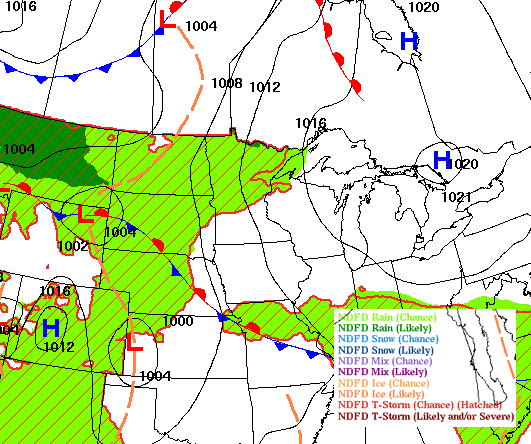
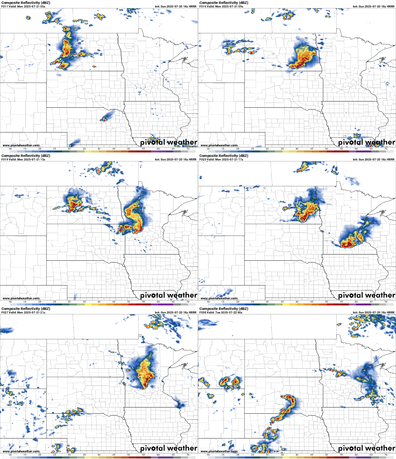
Scattered thunderstorms will move south and southeast near a slowly advancing cool front into Wednesday night. Some storms could be strong to severe with heavy rainfall.
An air quality alert has officially been lifted, but wildfire smoke may still linger into Monday. Southerly winds are helping push much of the smoke northward, though hazy skies remain possible.
Showers and thunderstorms remain possible into early Monday morning and again in the afternoon, but conditions will quickly turn hot and humid as a ridge of heat builds in by Tuesday. A classic midsummer pattern takes hold, with rising dew points and heat indices climbing into the 90s—and possibly reaching the triple digits—through much of the week.
The weekend wraps up on a bright note Sunday, with plenty of sunshine and comfortable highs in the upper 70s to near 80 degrees. However, an air quality alert remains in effect for northern Minnesota, where fine particle levels are reaching the very unhealthy category.
Our slightly stubborn cloud cover will continue to clear Saturday night, with overnight temperatures bringing a slight chill to the air. An Air Quality Alert remains in effect for northern Minnesota through Monday morning due to wildfire smoke. Expect more sunshine and comfortable temperatures on Sunday.
When it comes to staying informed in Minnesota, our newsletters overdeliver. Sign-up now for headlines, breaking news, hometown stories, weather and much more. Delivered weekday mornings.