Rapid warmth and melting snow are pushing rivers quickly higher. The latest hydrograph flood forecasts for area rivers show a 10-foot rise is likely on several area rivers.
Expect several very warm days ahead with near-record temperatures. Highs on Monday will range from near 70 in southern Minnesota to the upper 40s in the northwest. Southern Minnesota soars into the 80s Wednesday. A late week storm brings rain and snow.
Monday will bring another warm day with lots of sunshine and light winds. Highs will range from near 70 south to the 50s north. Even warmer temps arrive Tuesday and Wednesday with the first 80 in southern Minnesota.
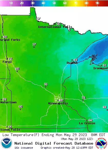
We’ll have a mild overnight with skies clearing back out. Monday will be sunny with light winds and a warm day. Temperatures continue upward to a peak of 70s and 80s for some Wednesday. Showers develop by Thursday north, spreading south Friday potentially.
Most areas will have above-normal temps today and even warmer temps Tuesday through Thursday. We have an update on that, plus Sunday shower chances and a look at river levels.
Temperatures were in the 60s in the Twin Cities this weekend, but up north, there's still quite a bit of snow left. That's been posing some challenges for young athletes gearing up for competition.
Our Saturday high temps were well above normal, and no chilly air is in sight. We have the forecast details, including a shower chance on Sunday. River levels continue to rise.
When it comes to staying informed in Minnesota, our newsletters overdeliver. Sign-up now for headlines, breaking news, hometown stories, weather and much more. Delivered weekday mornings.