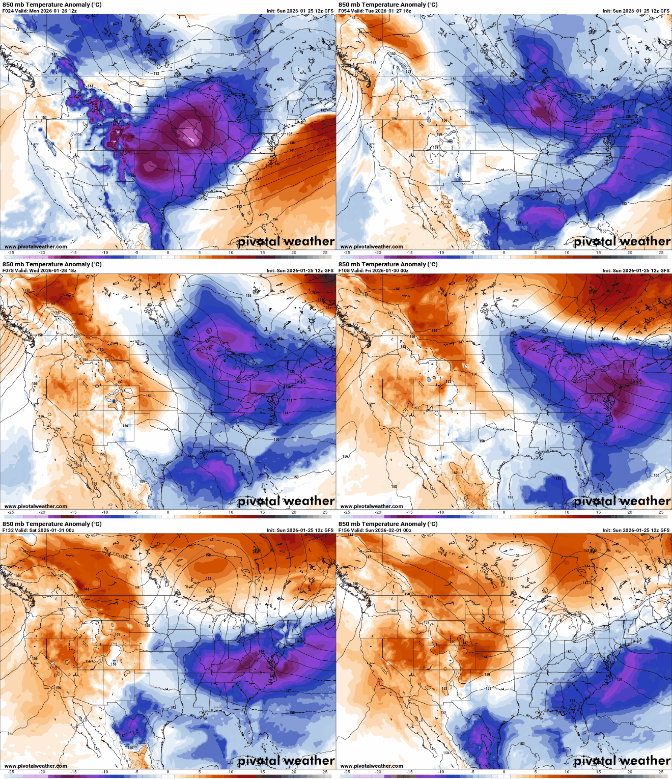
Despite temperatures rising above zero Sunday, a cold front will move through Sunday night, bringing another surge of Arctic air and prompting extreme cold warnings and cold weather advisories across the region.
After nearly 72 hours of subzero temperatures in the Twin Cities, readings are finally expected to climb above zero Sunday, though frigid wind chills will return overnight. Light snow is possible Monday night in northern Minnesota, while the rest of the week is forecast to remain cold and mostly quiet.
Arctic air continues to bring cold weather advisories and extreme cold warnings to northern Minnesota, with quiet, calm, and frigid conditions expected to mark the end of the weekend.
Bright sunshine will dominate the weekend forecast, though bitter Arctic air will continue to drive wind chills well below zero. Temperatures will stay well below average with little moderation expected.
The weather genre online spans a wide range of sources. Experts say that while weather influencers can help fill an information gap, social media platforms tend to prioritize likes over accuracy.
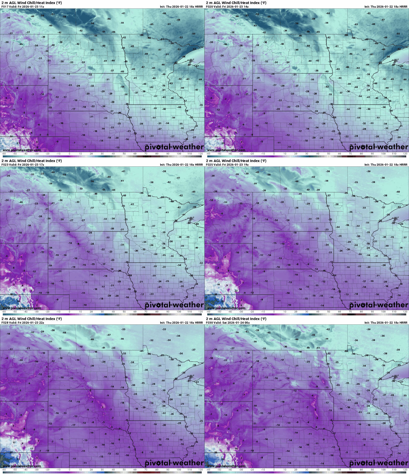
Very cold air remains in place Friday with subzero highs and frigid wind chills all day. We drop back into the teens to near 30 below zero Friday night. Temperatures will remain below normal into next week.
Most Minnesota school districts canceled classes or moved to online learning Friday, as a blast of arctic air brought the coldest conditions seen in the state in more than five years.
An extremely cold arctic air mass is pouring south into Minnesota into the upcoming weekend. This could be the coldest air in seven years for much of Minnesota.
When it comes to staying informed in Minnesota, our newsletters overdeliver. Sign-up now for headlines, breaking news, hometown stories, weather and much more. Delivered weekday mornings.