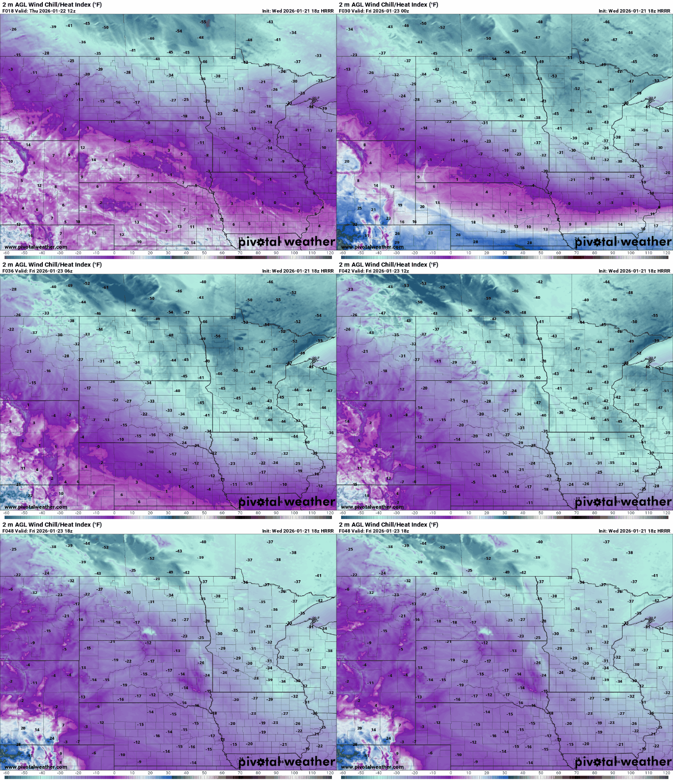
The region is entering its coldest period in several years as arctic air pours south, driving temperatures well below zero and pushing wind chills into dangerous territory.
Some Minnesota school districts made the move to online learning Thursday, as what could be the coldest weather in at least five years started descending on the region. More districts announced plans to close Friday — including Anoka-Hennepin and St. Paul.
An extreme arctic air mass pours south Thursday into Saturday. Temperatures will challenge the coldest readings in seven years around much of Minnesota.
Extreme cold warnings and watches are in effect across parts of the region as an arctic air outbreak brings dangerous wind chills capable of causing frostbite on exposed skin within minutes. How to best prepare for the incoming cold.
Meteorologists warn that a stretched polar vortex could bring severe winter weather to much of the United States. This week, warm Arctic waters and cold continental land are combining to send subzero temperatures, heavy snow, and ice across the eastern two-thirds of the country.
Wednesday will be closer to normal with highs in the 20s. We get another round of midday and afternoon snow showers followed by the coldest air mass of winter.
It’s another cold start, but it won’t be as cold Tuesday afternoon and Wednesday. More snow showers are on the way later Tuesday with our latest clipper. It’ll be followed by brutal arctic air.
When it comes to staying informed in Minnesota, our newsletters overdeliver. Sign-up now for headlines, breaking news, hometown stories, weather and much more. Delivered weekday mornings.