2026 begins the same way 2025 ended: cold, cloudy and snowy at times. Expect light snow for New Year’s Day, more cold through the weekend, and a gradual warm-up as we head deeper into the new year.
A frosty start to New Year’s Eve celebrations is expected across the region. A cold weather advisory is in effect for northern Minnesota through New Year’s Day.
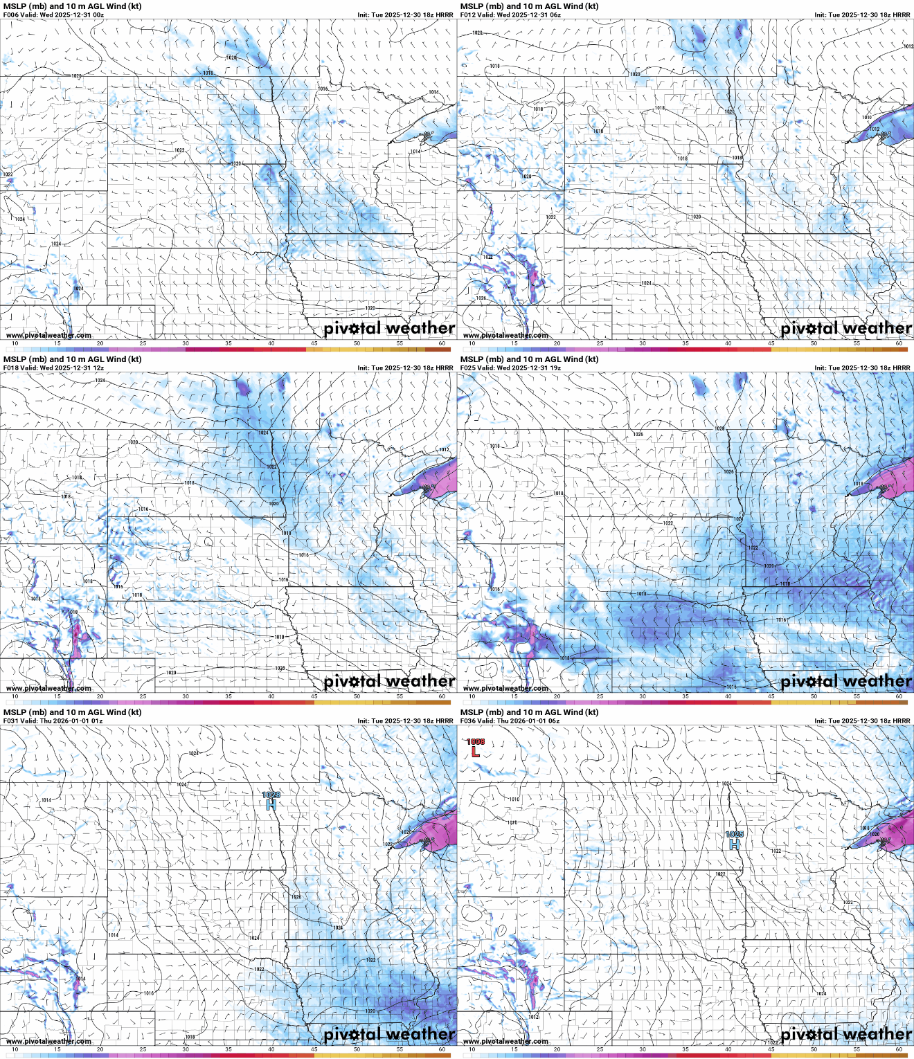
Our latest clipper system brings more snow showers Wednesday along with colder air. It’ll be a cold start to the New Year, but temperatures will be back to seasonable levels by the weekend.
Expect travel to be slow moving at times this evening. Another widespread round of light snow accumulation will similarly impact travel Wednesday morning and afternoon. We ring in the new year with a shot of cold air.
It’ll be briefly milder Tuesday as the next clipper system moves in. We’ll have a quick shot of snow showers both Tuesday and Wednesday followed by more cold for the New Year.
It’ll be a cold overnight but clouds will increase, keeping temps up from where they could fall. More snow showers are possible Tuesday and Wednesday followed by colder air.
We remain in the track of weather systems with another round of snow showers Tuesday and Wednesday. Temperatures will be briefly warmer Tuesday before falling again Wednesday.
No-travel advisories across southern Minnesota were lifted Monday, as driving conditions gradually improved following Sunday’s blizzard conditions. Many cities across the region implemented snow emergency parking rules.
A ‘bomb cyclone’ is intensifying severe winter weather for millions of people across the U.S. The system is expected to knock out power and disrupt holiday travel.
When it comes to staying informed in Minnesota, our newsletters overdeliver. Sign-up now for headlines, breaking news, hometown stories, weather and much more. Delivered weekday mornings.