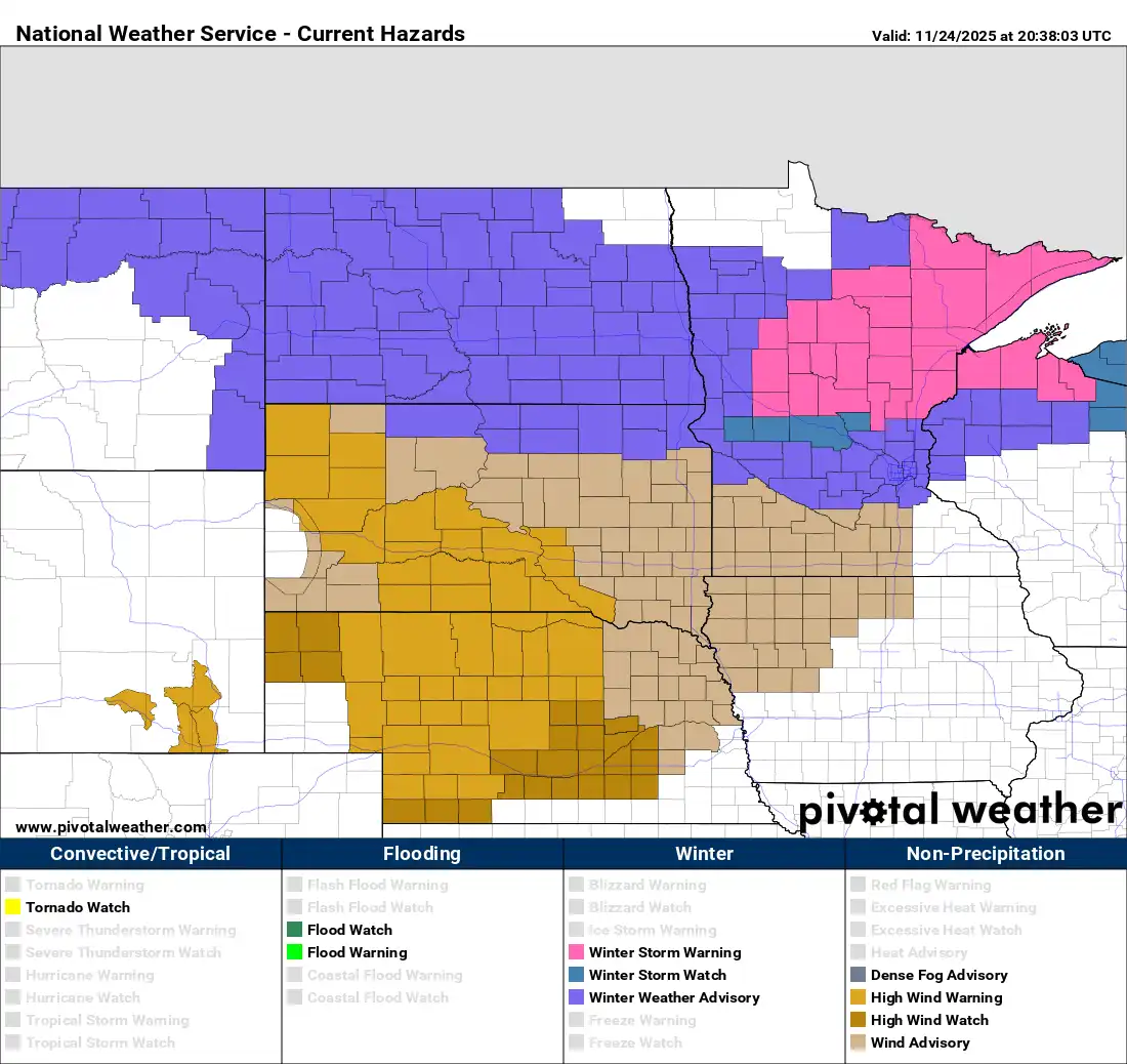
Minnesotans are gearing up for a messy pre-holiday system as storm warnings blanket the north while the Twin Cities falls under a winter weather advisory.
Monday will still be mild but clouds will thicken and showers will develop south late in the day. Snow is expected to develop north into Tuesday and early Wednesday followed by cold air.
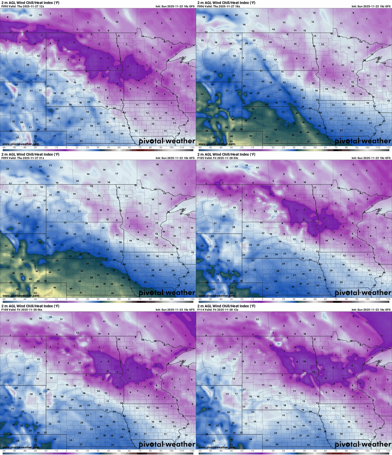
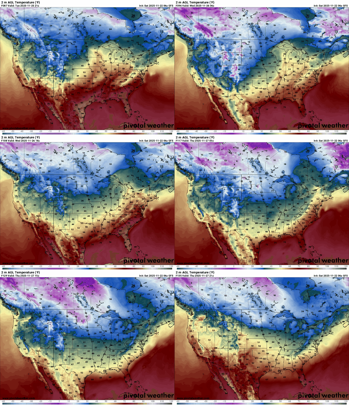
Record-breaking warmth on Sunday will kick off a week of dramatic weather swings. By Thanksgiving, temperatures will plunge below freezing, with snow and blustery winds in the mix ahead of the deep cold.
It’s fall’s last hurrah with sunshine and unseasonable warmth to wrap up our weekend. But a sharp change is coming, as snow and cold settle in just in time for the Thanksgiving holiday.
One more push of unseasonable warmth is settling in this weekend, sending highs into the 40s and 50s and running a solid 10 to 15 degrees above what late November typically delivers.
Snowfall is expected to start in the northern parts of the state as soon as Monday, but for the rest of Minnesota, it will begin percolating after Thanksgiving.
Winter driving remains one of the leading causes of cold-season emergencies. Taking a few precautions now can help prevent accidents once snow and ice begin to build on the roads.
High pressure brings a return to sunshine Friday. The weekend will be mild before colder air moves in next week. A potential system could bring rain and snow Monday into Tuesday.
When it comes to staying informed in Minnesota, our newsletters overdeliver. Sign-up now for headlines, breaking news, hometown stories, weather and much more. Delivered weekday mornings.