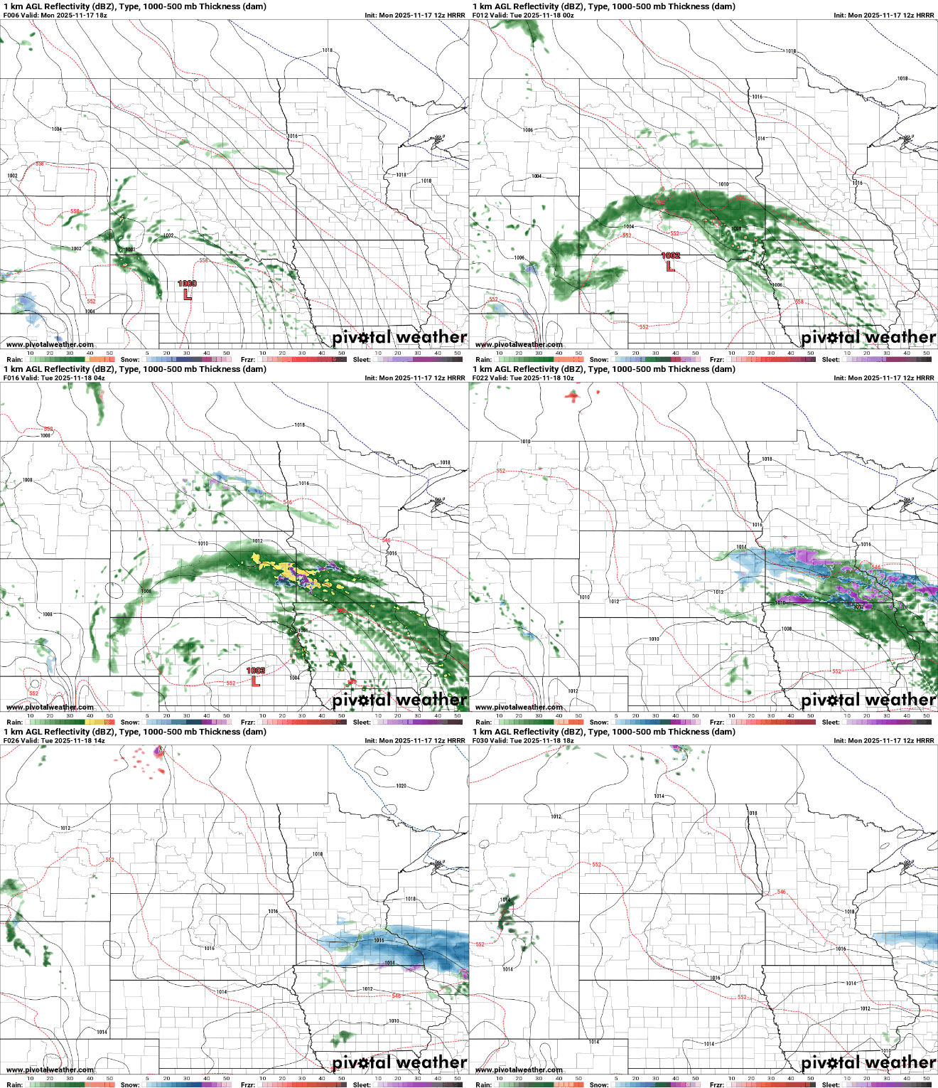
A messy weather system brings rain and possible slushy snowfall accumulations overnight into Tuesday morning. The favored accumulation zone runs from the southern Twin Cities southward to I-90.
It’s Winter Hazard Awareness Week, and it serves as a gentle reminder that our cold-season weather brings its own unique set of challenges. Monday’s focus highlights winter storms, one of the most disruptive and dangerous winter hazards we face each year.
Cooler, more seasonable weather will persist this week. Minnesota will be grazed by a couple systems with the first bringing a wintry mix Monday night to southern Minnesota.
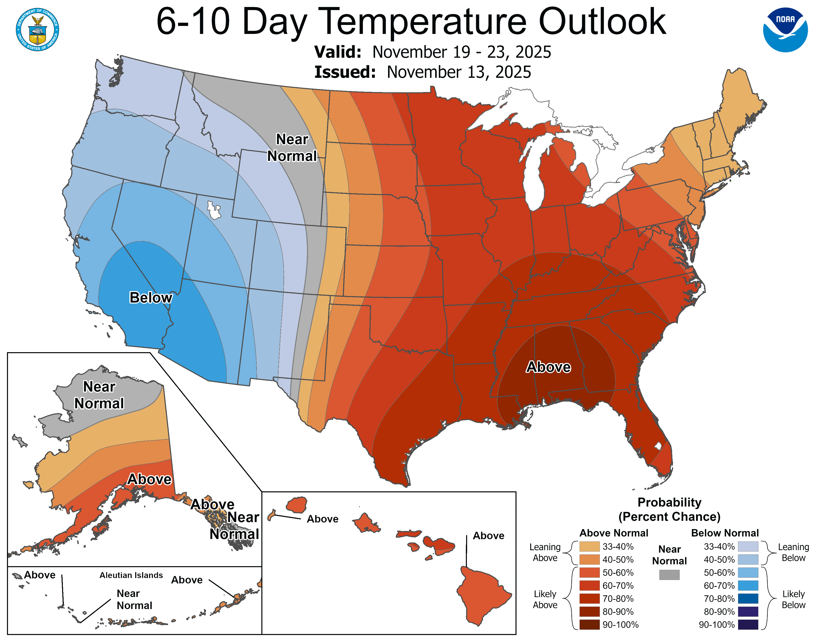
An early-week system is expected to bring a mix of rain and snow, with a very tight cutoff that may lead to big differences over short distances. Behind it, overall dry and seasonable weather will take shape for the remainder of the week.
Bright skies, light winds, and warmer temperatures wrap up the weekend, but a quick shift arrives Monday night when our next system could bring a wintry mix.
A burst of unseasonable warmth is sweeping across the region Friday, sending mid-November temperatures soaring far above normal and potentially breaking daily records.
When it comes to staying informed in Minnesota, our newsletters overdeliver. Sign-up now for headlines, breaking news, hometown stories, weather and much more. Delivered weekday mornings.