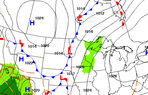
Rain showers return to the forecast as a cold front moves through the region, bringing breezy winds and cooler air. Temperatures will dip to start the week, with several chances for rain expected in the days ahead.
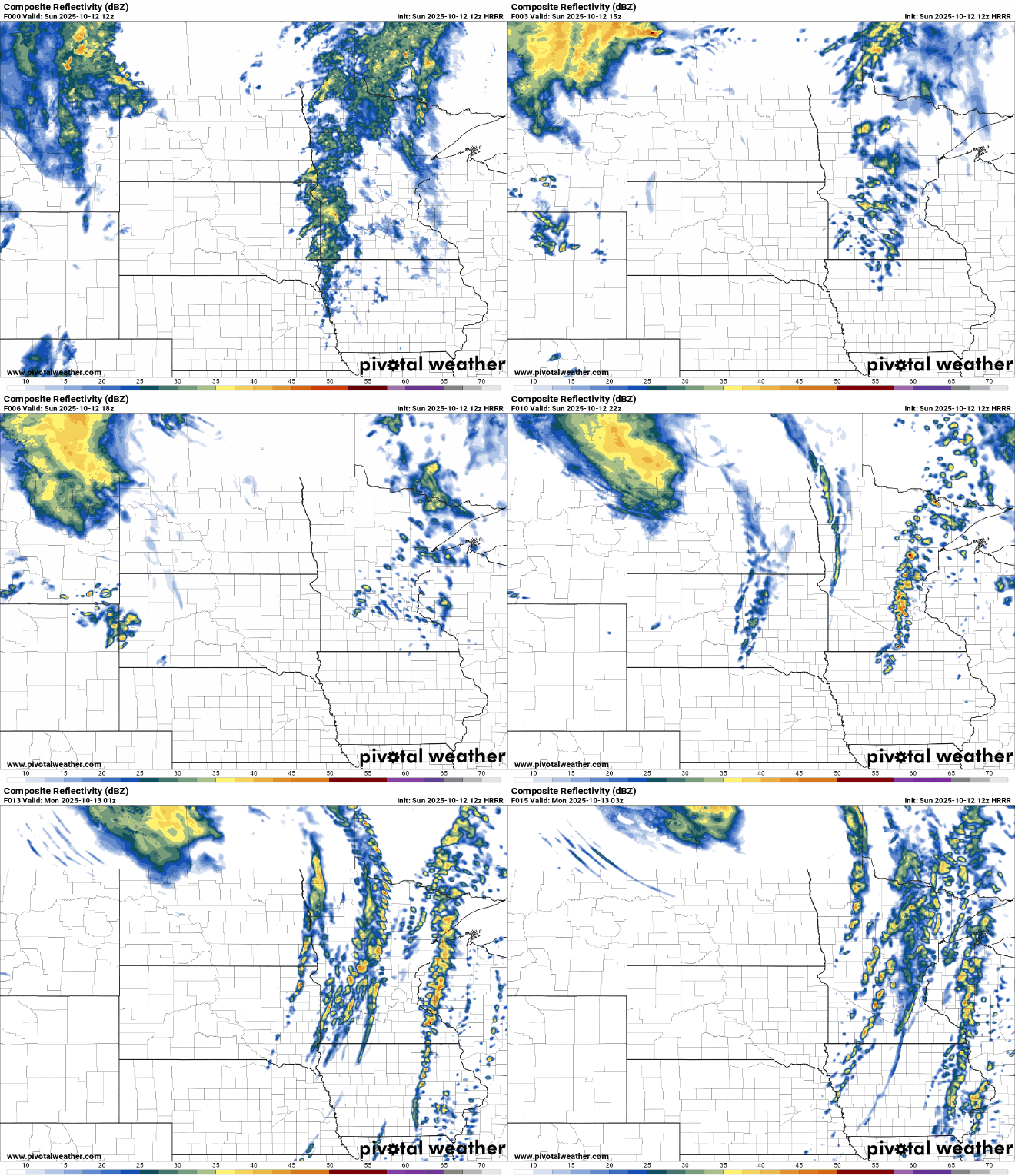
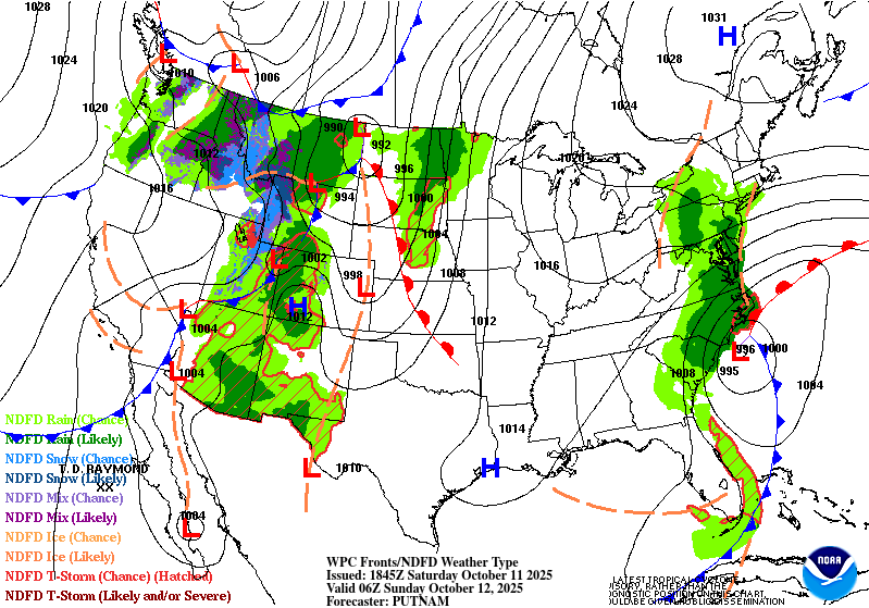
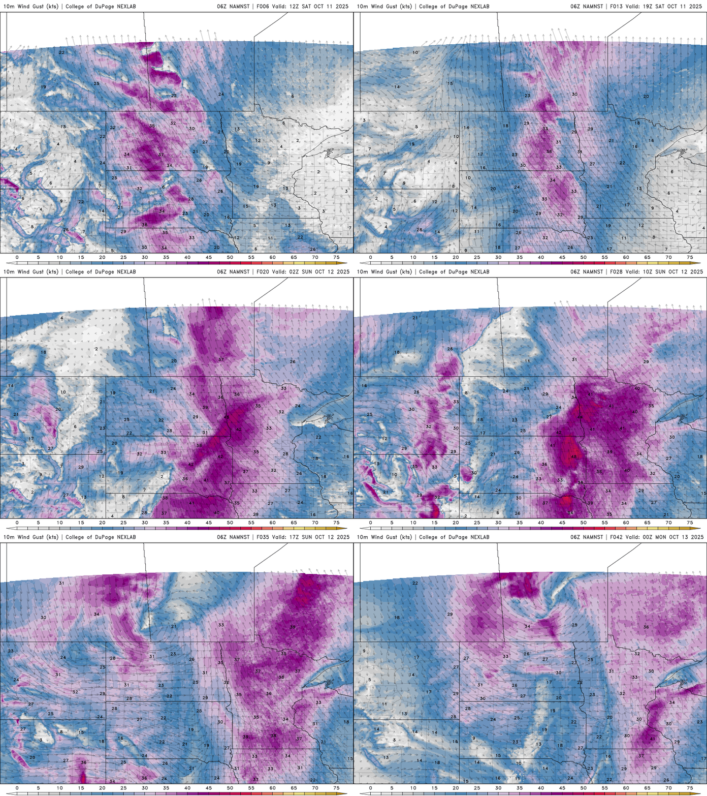
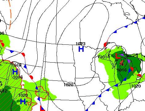
Dry and breezy conditions are expected Saturday, leading to elevated fire weather concerns across portions of western and central Minnesota. Rain chances return late tonight and continue into Sunday.
The Climate Prediction Center has officially issued a La Niña advisory, signaling that cooler-than-average sea surface temperatures have returned to the eastern Pacific.
Thursday marked one year since Hurricane Milton made landfall as a Category 3 hurricane on Florida’s west coast — just two weeks after being hit by Hurricane Helene. MPR News checked in with two former Minnesotans this week who stayed in Florida and rode out the storms.
The sunny skies are back Friday and Saturday as high pressure settles back in. A system will bring rain chances Sunday, which may be the start of a more active pattern.
Fall temperatures are rising across the United States. As a result, the season’s first freeze is now arriving weeks later — in some places, even over a month later than it did in the past.
After eliminating drought in the state in mid-July, drought crept back into northern Minnesota last week and has expanded significantly in the past seven days.
Clouds increase Thursday ahead of a clipper system. We’ll see a few spotty evening showers mainly in eastern Minnesota. Temperatures will be a bit warmer Thursday and into the weekend.
When it comes to staying informed in Minnesota, our newsletters overdeliver. Sign-up now for headlines, breaking news, hometown stories, weather and much more. Delivered weekday mornings.