For the 23rd year in a row, Mark Seeley will be quizzing folks on weather headlines of the past year. Have you been paying attention? Take the quiz yourself here.
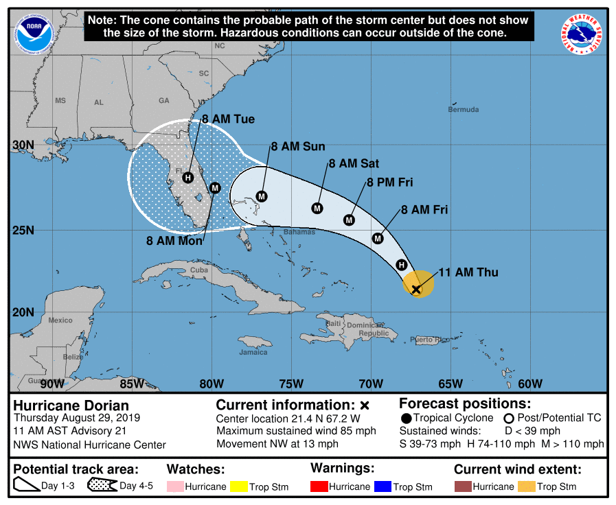
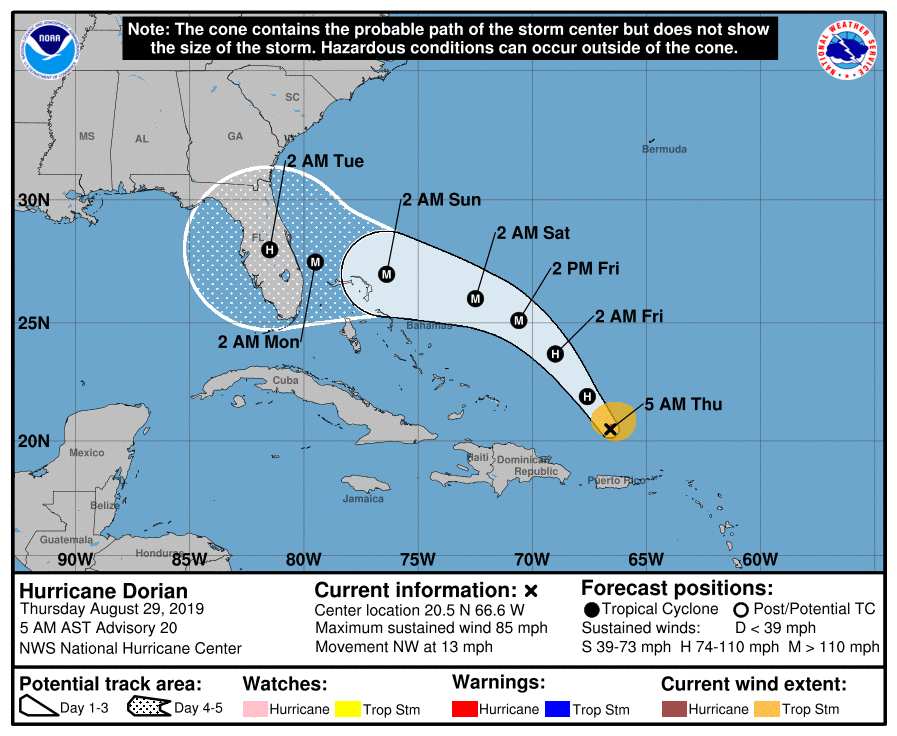
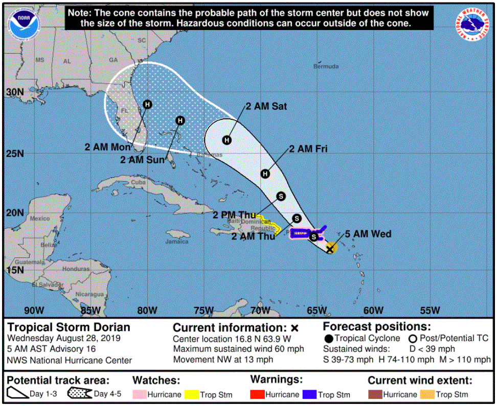
The National Hurricane Center says that because Hurricane Dorian is projected to slow down and turn northward as it approaches the Florida coast, "it is too soon to determine when or where the highest surge and winds will occur."
More than half of the days in August have produced cooler than normal temperatures. But despite the cooler than normal readings for the state, Minnesota did not report the nation’s lowest temperature even once during the month.
"There is an increasing likelihood of life-threatening storm surge along portions of the Florida east coast" on Labor Day weekend, the National Hurricane Center says.
Our Thursday afternoon will be breezy with plenty of sun in most areas. Parts of northern Minnesota could see a passing sprinkle. Florida, meanwhile, is bracing for Hurricane Dorian.
Go Deeper.
Create an account or log in to save stories.
Like this?
Thanks for liking this story! We have added it to a list of your favorite stories.
Wednesday will be pleasant with thinning clouds north of the metro area. Winds will be gusty. Showers are likely for northern and possibly east central Minnesota Wednesday night into Thursday morning before dry weather returns for the rest of the week.
When it comes to staying informed in Minnesota, our newsletters overdeliver. Sign-up now for headlines, breaking news, hometown stories, weather and much more. Delivered weekday mornings.