Updraft® - Minnesota Weather News

Updraft® is your source for Minnesota forecasts and insights from our expert meteorologists Ben Cathey, Sven Sundgaard and Mandy Thalhuber.

MPR News brings you the latest weather outlook, across all of Minnesota, so you can be better prepared for your day.

Sign up for daily Minnesota weather forecasts from us below.
Becoming warmer and more muggy with isolated thunder
Thursday will still be a nice, mostly comfortable day. Dew points and temperatures will be increasing some the next couple days which will lead to at least isolated thunder.
Spike in cooling demand — not only this summer
A timely report was just released by Climate Central, which is a nonpartisan and nonprofit group that we’ve worked with for years. They looked at a bunch of America’s biggest cities, but we’ll only focus on Minnesota.
Bullseye for severe weather may surprise you
The epicenter for severe weather this summer, with six severe thunderstorm warnings, two tornado warnings, hail, downed trees … it might surprise you!
Lingering showers south, dropping dew points Tuesday
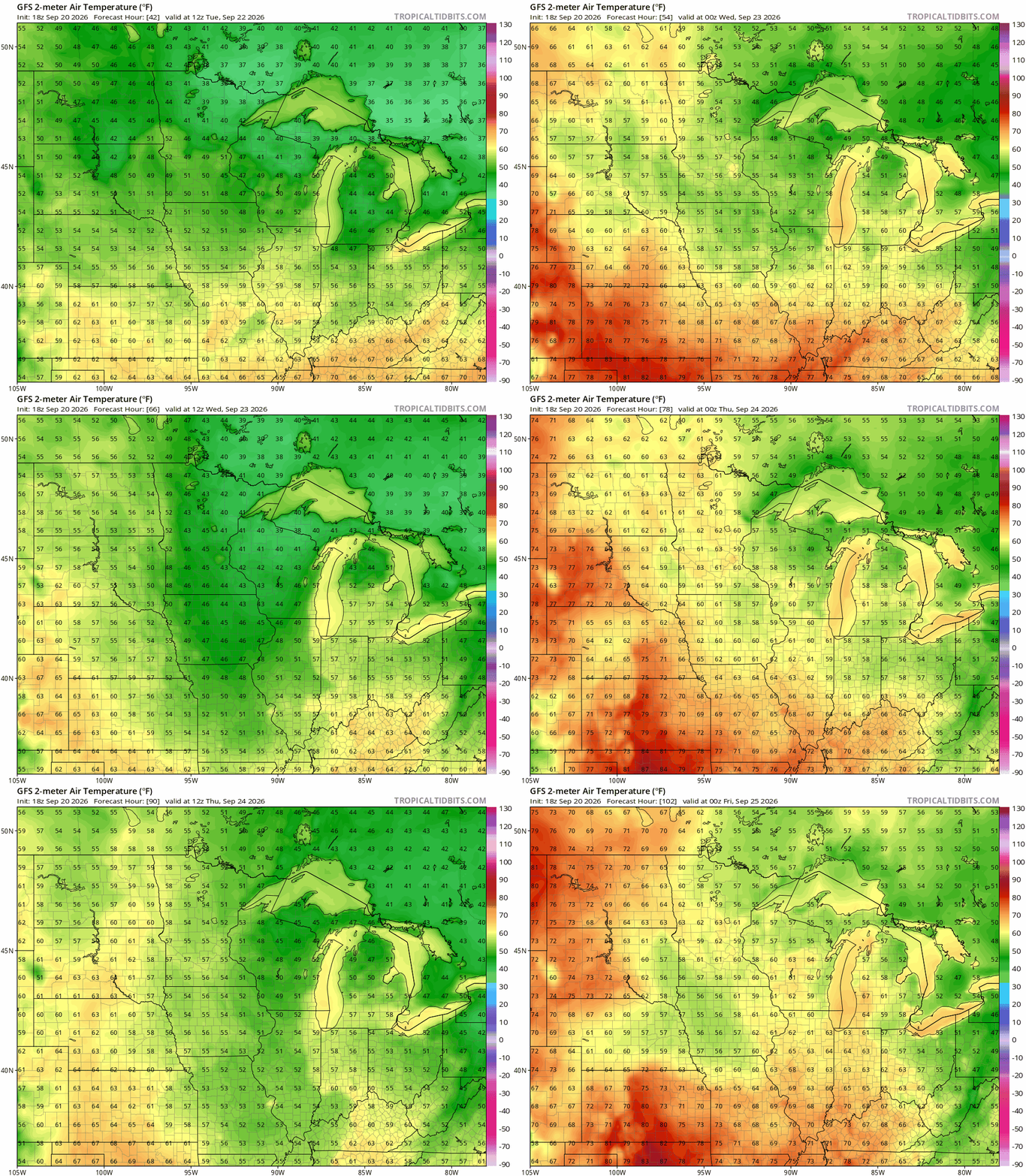
Temperatures and dew points drop in the wake of Monday night’s cool front. Some lingering showers, thunder south. A cool night and nice Wednesday before things warm back up.
New maps point toward increased fire threat this fall
There is heightened risk for wildfires to form over northern Minnesota late this summer and continuing into fall. This is separate from the already-started fires in the Boundary Waters region.
Storms bring much needed rain. Severe threat looms for Monday
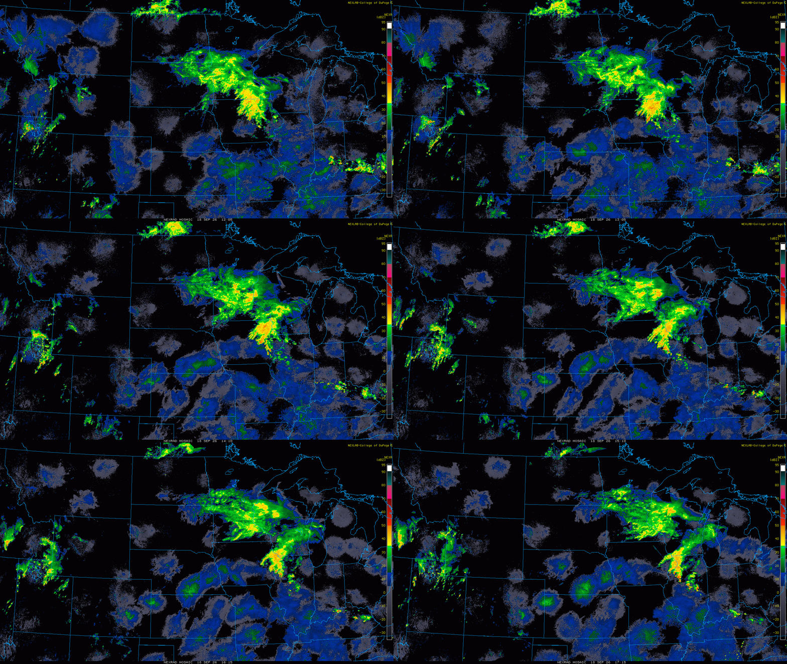
Thunderstorms are already bringing rain to parts of Minnesota early Monday, with additional rounds of storms expected to develop later Monday and continue into early Tuesday.
Advancing cool front increases storm chances Monday into Tuesday
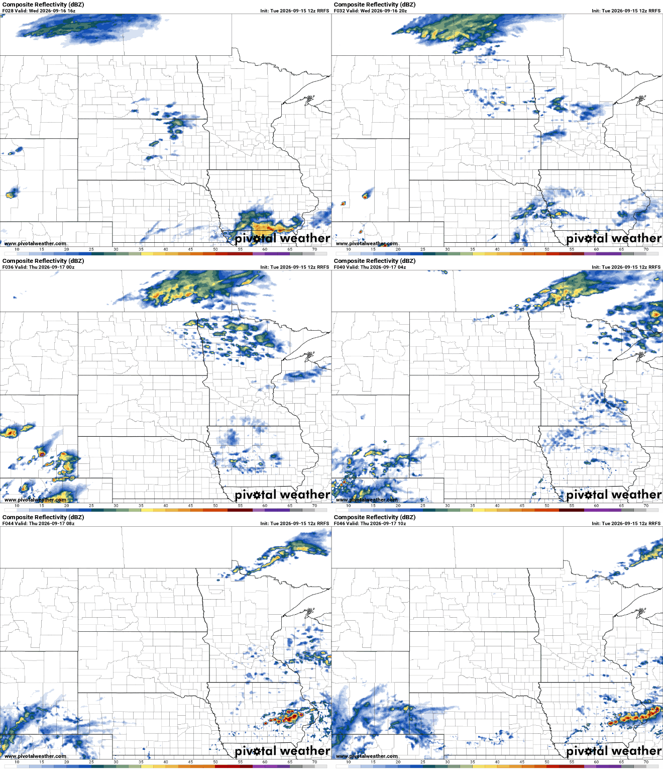
An advancing cool front out of the Dakotas will touch off more storms late Monday into Tuesday morning. Behind the front we’ll see another dip in temperatures and dew points.
NW storms, then largely rain-free week ahead
The upper Minnesota River to International Falls is the main outline for Monday evening storms. How much the morning round weakens the later storms is still a question. Plus, what will drought look like for ranchers and farmers in next week’s update?
Another gorgeous day Sunday before the next chance of thunder
High pressure keeps things bright and dry Sunday. The next cool front will advance out of the Dakotas into Minnesota early this week touching off the next chance of thunder.