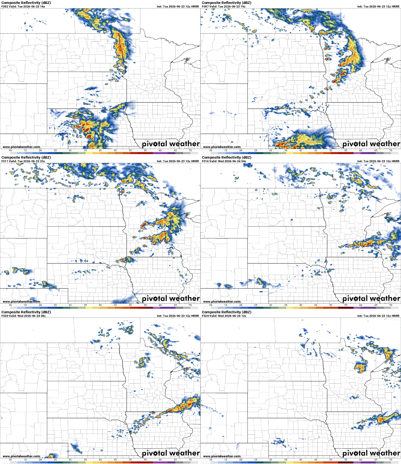
Minnesota will be divided into two big weather worlds Wednesday. Northern Minnesota will see light showers, overcast, skies and cooler temperatures with severe weather possible along the North Shore. There will be warm, dry conditions south.
Rain is here for much of the state, especially for the Twin Cities Tuesday evening. Clouds are off-and-on for the next three days with more heat finally rolling in by the end of the weekend. Next week also brings some thunderstorms before we dry back out with a swapped pattern.
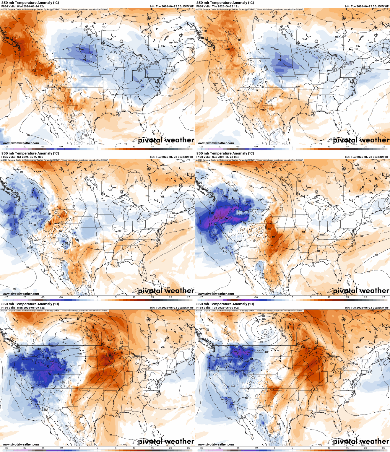
Our latest disturbance is creating some showers and thunder Tuesday and Wednesday. We’ll remain cooler than normal until the weekend with heat, humidity building for next week.
We’ve got a little something for every weather taste this week. From a piercing blue sky to an upward trend in Tuesday rainfall amounts, more summery heat for the first time in two weeks and some thunderstorms.
Monday will be warm and dry. The next chance of showers and storms develops Tuesday with lingering isolated chances midweek. Temperatures finally warm up this weekend.
Monday is still really quiet weather-wise with more rain on Tuesday. We’re a little cooler through the late work week, with more rain likely later next weekend.
Cooler than normal temperatures prevail into the upcoming week, but a pattern shift could be coming for the end of the month. Tuesday will bring the next widespread chance of rain.
We have a pleasant and mostly dry weekend for most of Minnesota. Highs will be mostly in the 70s, still a little cooler than normal. The next chance of rain, thunder develops Tuesday.
When it comes to staying informed in Minnesota, our newsletters overdeliver. Sign-up now for headlines, breaking news, hometown stories, weather and much more. Delivered weekday mornings.