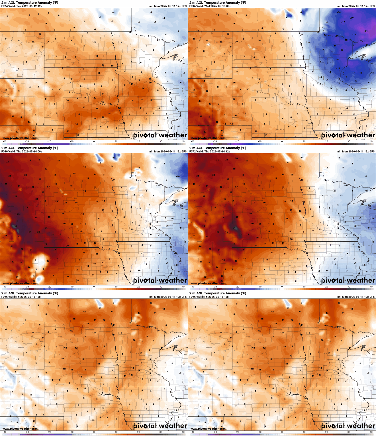
Consistently warmer weather is on tap for the rest of the week. Chances of thunder will increase by the end of the week into the weekend along with summerlike temps.
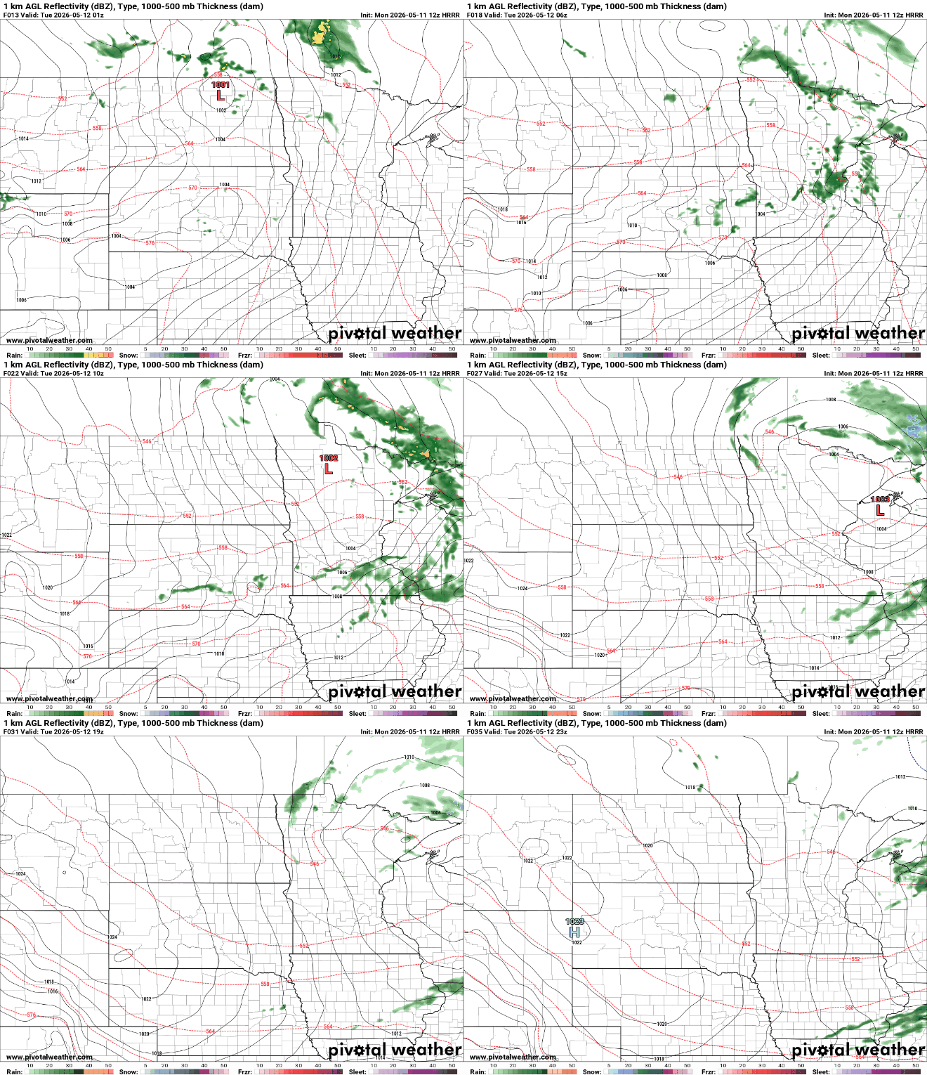
A fast moving disturbance will touch off some scattered overnight showers into early Tuesday. Clouds will decrease Tuesday and the remainder of the week looks warm.
We’ve got a nice Monday on the way. Showers are possible Monday night into early Tuesday. Temperatures will be warmer this week, especially by week’s end.
Mother’s Day is ending on a chilly note across Minnesota, with widespread frost and freeze concerns developing overnight as temperatures tumble into the upper 20s and low 30s. After the cold start to the week, a quick warm-up arrives Monday before the next chance for rain moves in late Monday night into Tuesday.
A cooler stretch of weather has settled into the state this weekend, bringing crisp temperatures, breezy conditions, and even frost concerns overnight.
A cold front will sweep south early Saturday, taking the lingering clouds and spotty showers with it. Behind the front, cooler, breezy, and much drier air will settle into the region for Mother’s Day weekend.
A disturbance and cool front will touch off a few showers late tonight into early Saturday followed by slightly cooler air for the weekend. Warmer temps still on track next week.
Temperatures will warm to near 70 degrees in southern Minnesota Friday. A disturbance and cool front will deliver a few showers Friday night into Saturday.
Another round of frost is possible Thursday night across parts of Minnesota and western Wisconsin, but the bigger weather story is the gradual warmup that’s finally beginning to take shape heading into next week.
When it comes to staying informed in Minnesota, our newsletters overdeliver. Sign-up now for headlines, breaking news, hometown stories, weather and much more. Delivered weekday mornings.