A mix of sunshine, breezy winds and dry air will shape the weather across the region for Sunday, bringing an elevated fire risk, especially in western Minnesota.
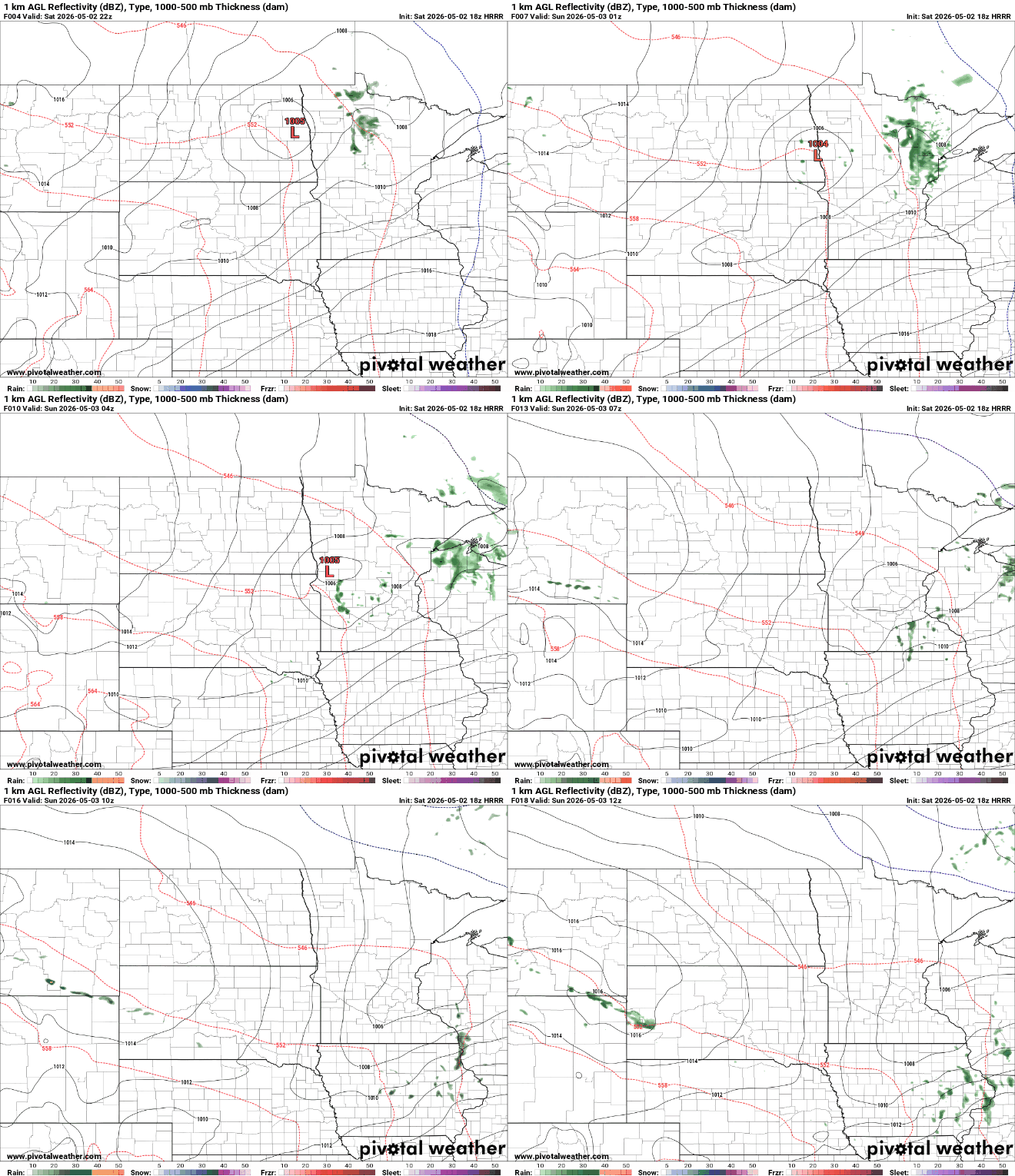
Warmer temperatures are expected for the weekend ahead, with just isolated rain shower chances developing by Saturday afternoon and early evening. A cooldown returns behind a frontal system for Tuesday and Wednesday.
A cold start to the weekend is on the way as a freeze warning takes center stage across the region, but temperatures are expected to warm as we head through the rest of the weekend.
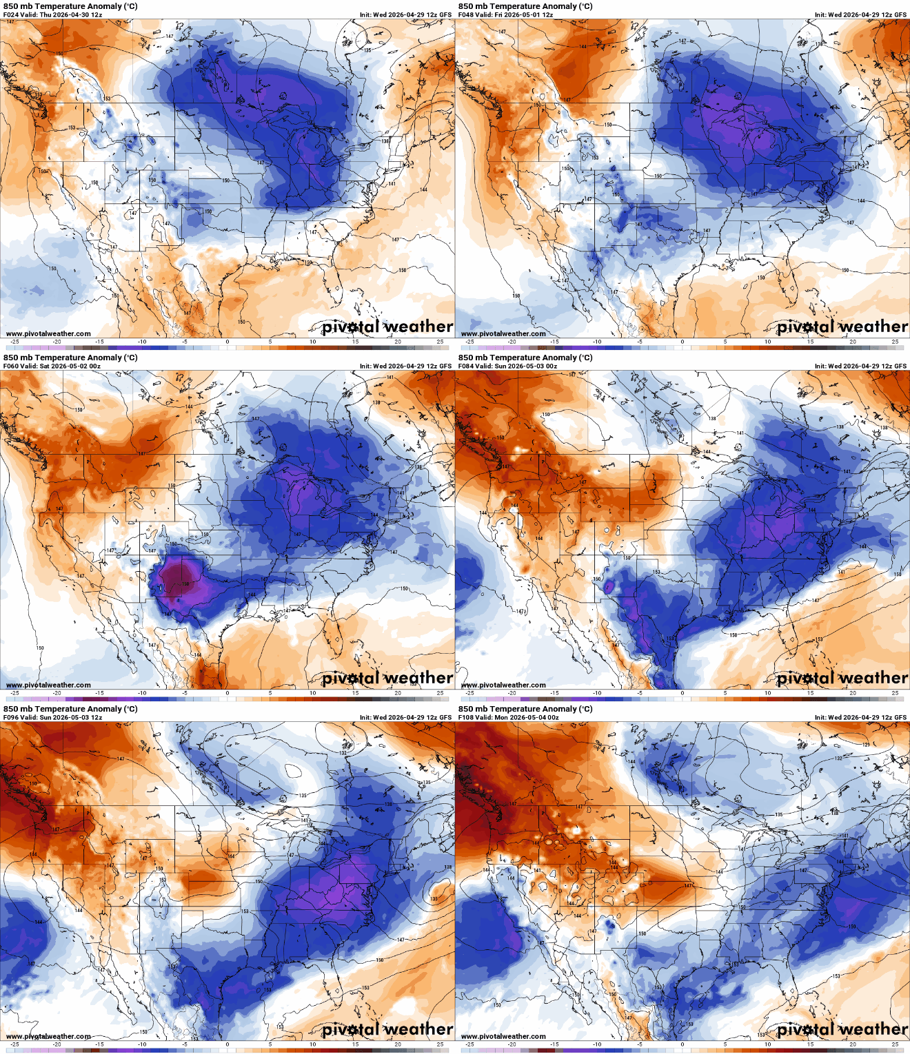
An upper low keeping us cool and unsettled will loosen its grip some over the weekend, allowing for a temporary warm-up. We cool back off next week with more minor rain chances.
The cool pattern persists for a couple more days with a mix of clouds and sun. Temperatures warm up this weekend, but we’ll also have a few disturbances moving through into Tuesday.
When it comes to staying informed in Minnesota, our newsletters overdeliver. Sign-up now for headlines, breaking news, hometown stories, weather and much more. Delivered weekday mornings.