After a wet Monday, dry conditions should prevail the rest of the week with cooler-than-normal temperatures. We’ll see warmer conditions by the weekend.
With waterfalls already raging on Minnesota’s North Shore, more rain on Monday could add to flooding along those rivers — including several in popular state parks.
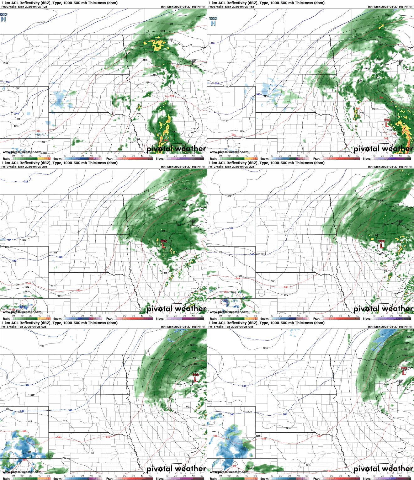
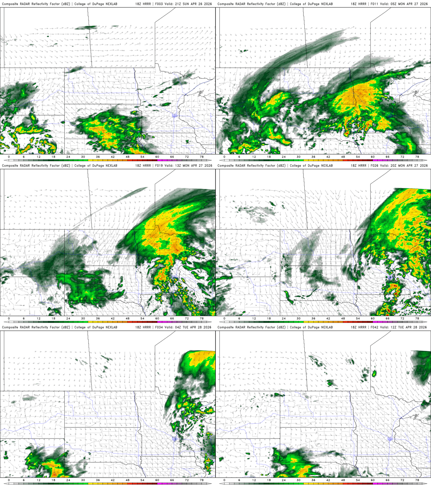
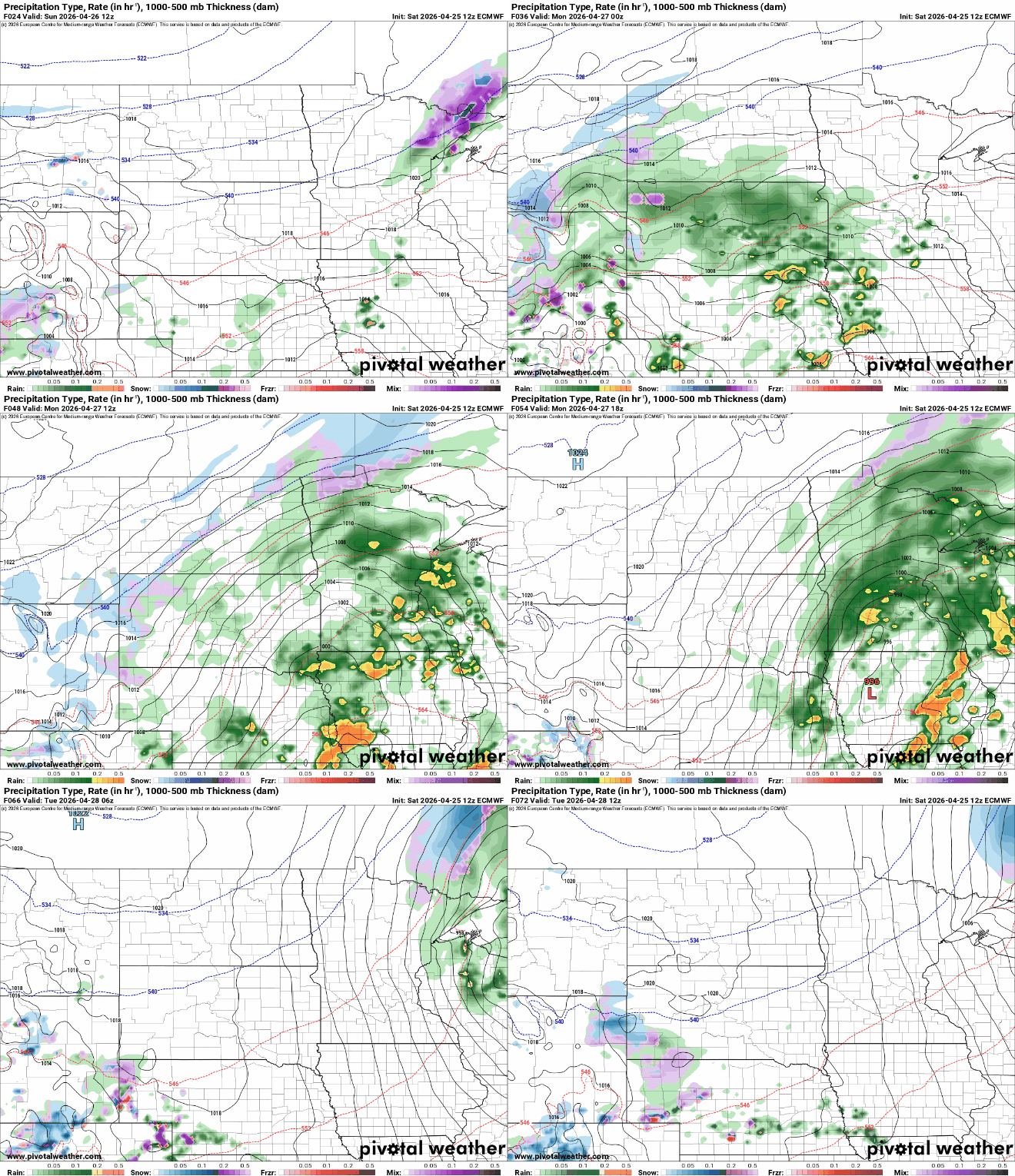
A potent system will deliver soaking rains to much of the state tonight into Monday and Monday night. Quieter and cooler conditions follow for midweek.
There will some spotty to scattered showers Sunday, but most of the day will be mainly dry and warmer. Rain returns from southwest to northeast by evening into Monday and Monday night.
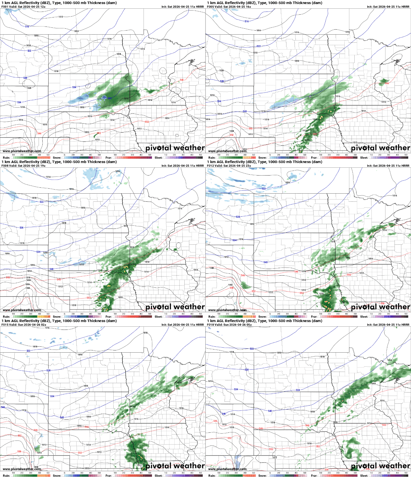
We’ll see scattered overnight showers across a large swath of central Minnesota into northeast Minnesota. More rain develops for Sunday night into Monday night.
Periods of light rain will move across western and central Minnesota Saturday into Monday, with cooler, mostly cloudy conditions and modest rainfall totals expected.
Changes are on the way as we head into the weekend, with increasing rain chances and a wetter pattern setting up early next week. This rain is much needed, especially across western Minnesota where dry conditions have led to elevated fire risk.
It’ll be cooler Friday but actually right near-normal. Look for sunshine for most Friday. Another system brings rain late Sunday into Monday with cool temps lingering into next week.
When it comes to staying informed in Minnesota, our newsletters overdeliver. Sign-up now for headlines, breaking news, hometown stories, weather and much more. Delivered weekday mornings.