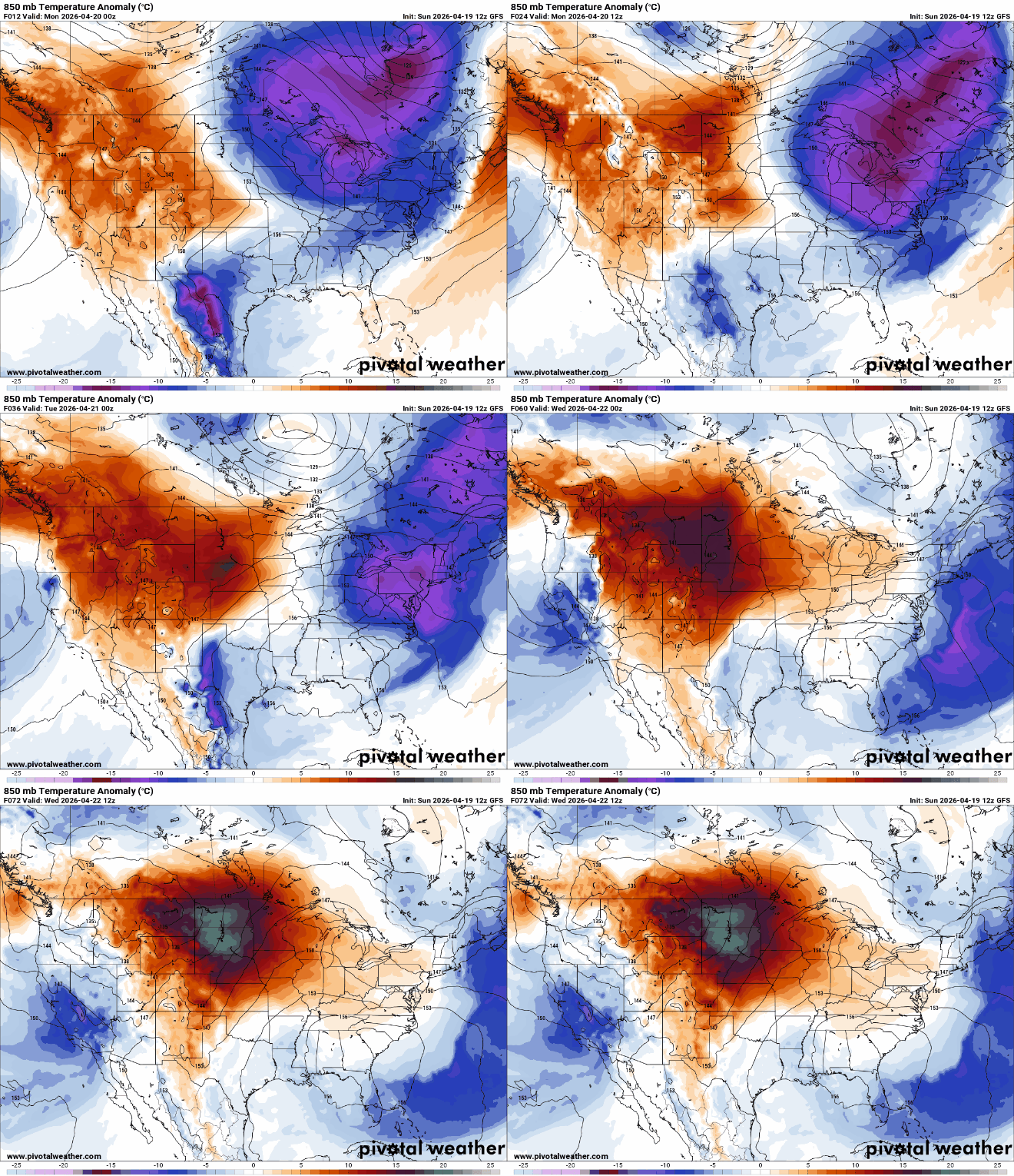
A red flag warning is in effect across parts of Minnesota Monday night as critical fire weather conditions continue, with an unseasonably warm stretch peaking midweek before storm chances return Thursday.
This year, the state is far outpacing its average of one tornado in April. Just on Friday, the National Weather Service recorded five tornadoes in southeast Minnesota.
After a chilly weekend, temperatures warm back up quickly early this week. Southern Minnesota will see 80s by Wednesday with more storms possible Thursday.
After a cold weekend, a quick surge of warmth and wind will elevate fire risk across western and central Minnesota on Monday. Summerlike temperatures arrive by midweek before storm chances return to the region later in the week.
A light coating of snow early Sunday will give way to sunshine and lighter winds. Temperatures stay on the chilly side before a warm-up arrives midweek.
National Weather Service survey crews confirmed at least five tornadoes touched down during the severe storms on Friday afternoon, damaging dozens of homes.
The Olmsted County Sheriff’s Office reported about 30 homes were damaged — a dozen with significant damage — in the Marion area. About 20 homes were damaged in Stewartville.
When it comes to staying informed in Minnesota, our newsletters overdeliver. Sign-up now for headlines, breaking news, hometown stories, weather and much more. Delivered weekday mornings.