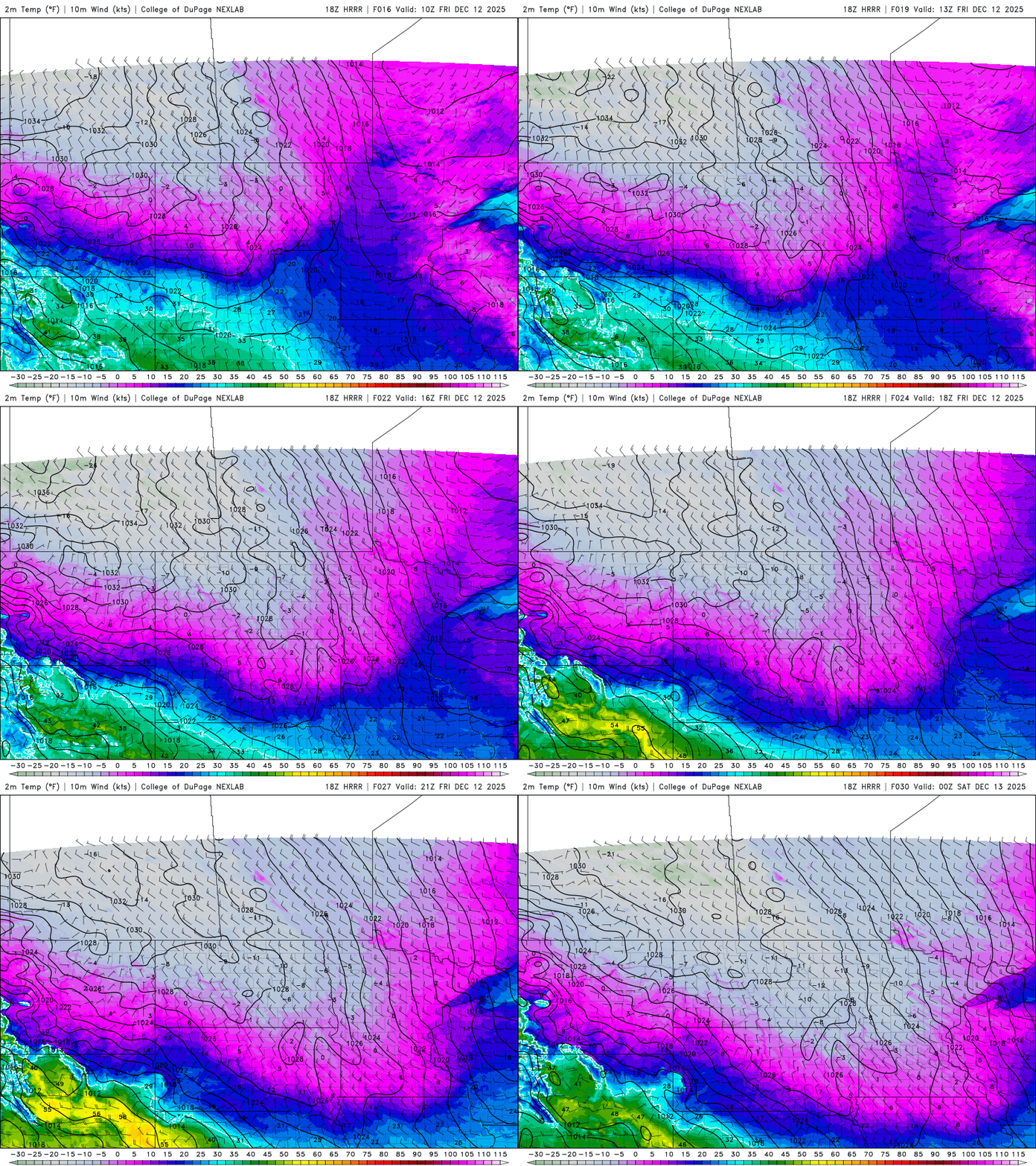
The season’s coldest air mass so far blows into Minnesota this weekend. Temperatures will bottom out Sunday morning between minus 15 to minus 30 degrees.
Temperatures are set to plunge this weekend so it’s important to understand the language of weather alerts and prepare for the bitter blast ahead. Here’s a primer.
We’ve had more snowfall this week and now we’re in for some very frigid air. Wind chills will be 20 to 40 below zero Friday night into Saturday night. Warmer air arrives next week.
A surge of the season’s coldest arctic air is set to grip the region this weekend, producing dangerously low wind chills and brutally cold temperatures. The region’s snowpack will only intensify the cold, helping to lock in the frigid conditions.
Another round of snow is moving across southern Minnesota Thursday. It will be followed by some very cold air this weekend for this early in the winter season.
A weaker clipper will bring some lighter snows to southern Minnesota mainly Thursday afternoon. Current forecast models indicate the Twin Cities may ride the less snowy edge of this system.
We saw a whole mess of weather with our most recent winter storm — snow, sleet and freezing rain. Here’s the latest recorded snowfall totals across Minnesota and in neighboring states.
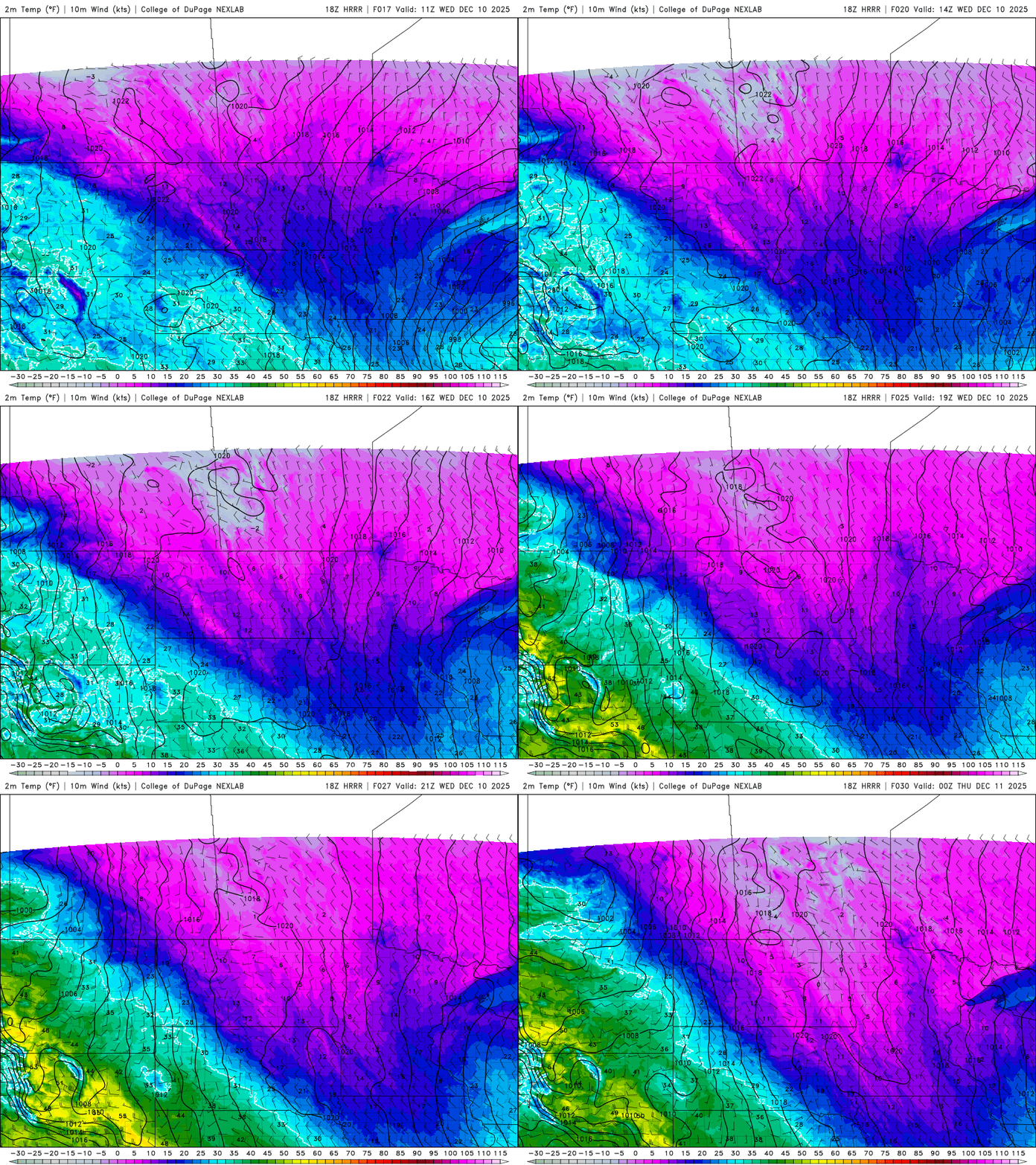
In the wake of our latest winter storm, temperatures will be steady or fall throughout the day Wednesday with blustery northwest winds. We’ll have the chance of more snow Thursday.
When it comes to staying informed in Minnesota, our newsletters overdeliver. Sign-up now for headlines, breaking news, hometown stories, weather and much more. Delivered weekday mornings.