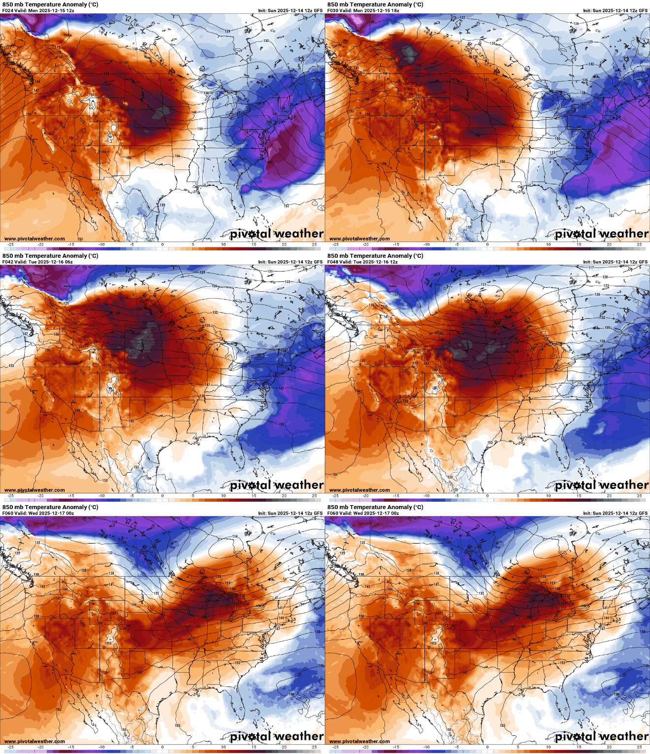
Temperatures near 50 degrees all the way to the Canadian border Tuesday afternoon. Colder air and a wintry storm system moves in Wednesday into Thursday.
Temperatures climb to into the 40s Tuesday for most of Minnesota. Our next system delivers rain and snow late Wednesday into Thursday followed by colder air.
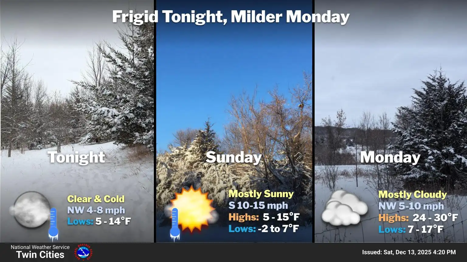
After a frigid weekend we’re in for a big warm up. Highs will warm into the 20s for most Monday and near 40 Tuesday. A system could deliver rain and snow to the state late Wednesday.
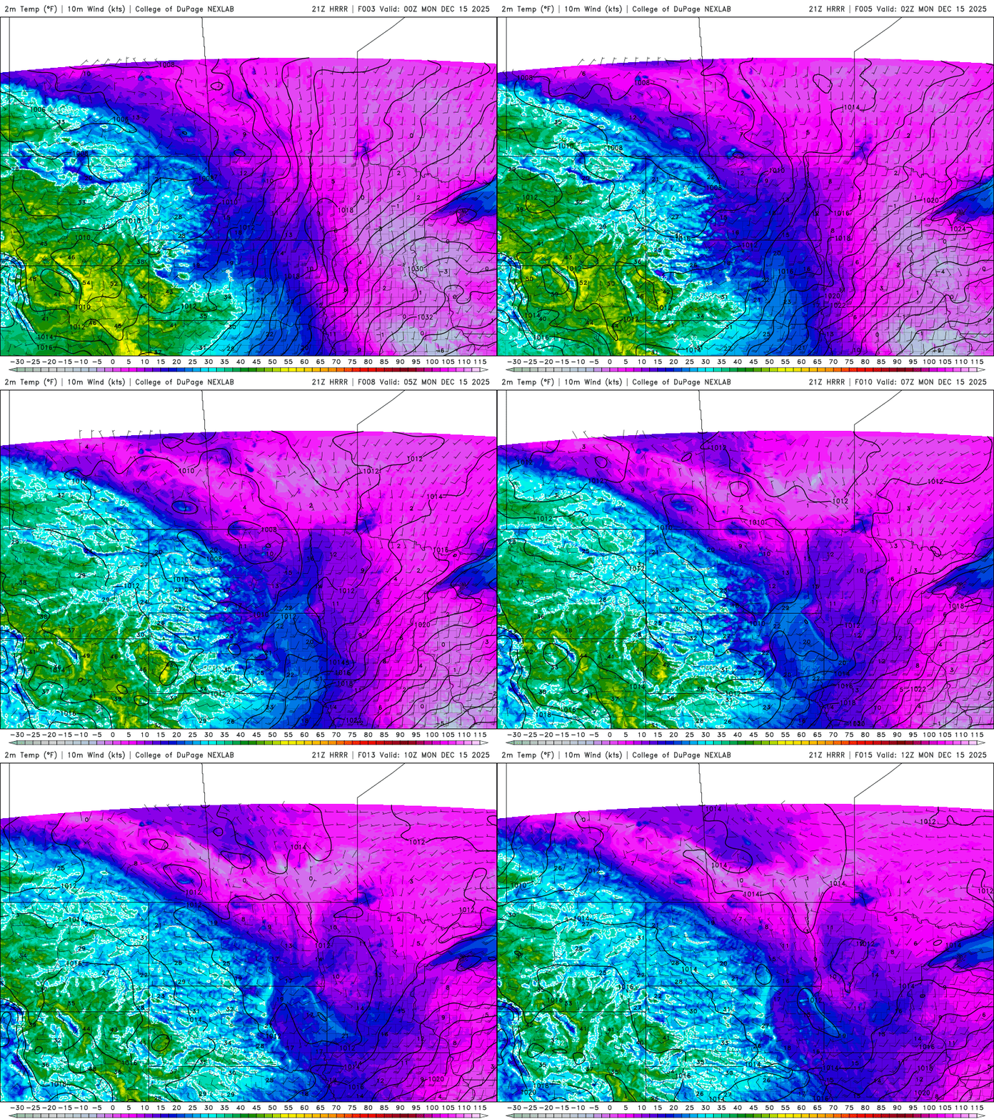
Temperatures will rise instead of fall Sunday night, setting the stage for a more than 50-degree temperature swing by Tuesday. The next weather system is expected to bring rain and snow mainly to northern Minnesota by midweek.
After some recent bleak years for winter sports enthusiasts, this season is delivering the frigid temperatures and steady snowfall Minnesota is known for.
High pressure advancing into the region will allow bitter Arctic air to spill southward, bringing the coldest temperatures of the season. Dangerous wind chills between 25 and 45 below zero are expected.
When it comes to staying informed in Minnesota, our newsletters overdeliver. Sign-up now for headlines, breaking news, hometown stories, weather and much more. Delivered weekday mornings.