Updraft® - Minnesota Weather News

Updraft® is your source for Minnesota forecasts and insights from our expert meteorologists Ben Cathey, Sven Sundgaard and Mandy Thalhuber.

MPR News brings you the latest weather outlook, across all of Minnesota, so you can be better prepared for your day.

Sign up for daily Minnesota weather forecasts from us below.
Warmer night will kick off an unseasonably warm week ahead
After a chilly start to Saturday, warmer weather is moving back into Minnesota, and it looks like the mild pattern will stick around for a while. Saturday night will be warmer than Friday night, with temperatures trending above normal through the upcoming week and mostly dry conditions expected.
Chilliest start since early May, with a major warmup on the way
The region has experienced its chilliest morning since early May, and the widespread frost and hard freeze will likely end the growing season for many communities. But winter-like temperatures are not sticking around just yet. Expect a quick warm-up this weekend, elevated fire weather concerns, and a stretch of temperatures well above normal next week.
Freeze frame: Better cover up those plants
Do you have plants growing outdoors that you are worried about freezing? You better cover them up before bed Friday night. A Freeze Warning is posted for most of southern Minnesota. Saturday morning will be quite easily the coldest morning of the season for most of Minnesota. We have not even been average yet for the morning temperatures.
Brief blast of cold and wind ahead of a nice weekend
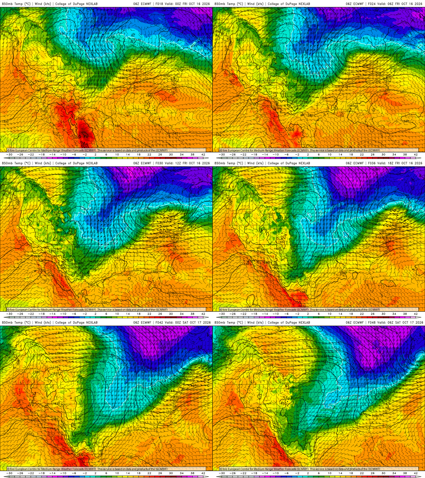
Windy and cold describe the next 24 hours. A brief, potent blast of cold air moves through, then skies clear later Friday with sunshine all weekend.
A warmer-than-normal Minnesota winter is likely as El Niño looms
The El Niño global weather pattern is likely to keep temperatures warmer than normal through the winter across most of Minnesota. Northern Minnesota may feel the biggest effects.
Rain showers Thursday followed by a brief blast of cold
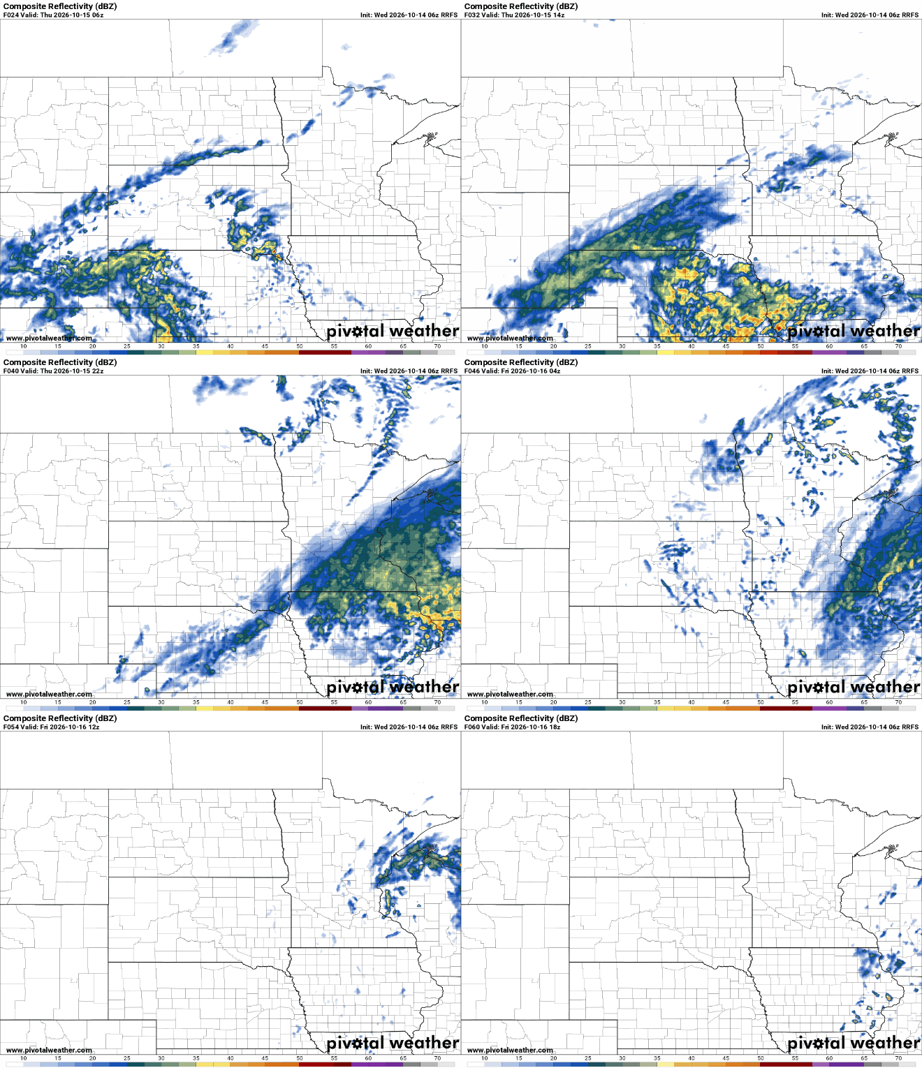
Scattered rain showers develop Thursday across southern Minnesota. A brief shot of cold air moves in behind it for Friday into early Saturday. Temperatures warm quickly into next week.
Cool, seasonable air lingers with showers developing Thursday
Wednesday will be another cool but near-normal day for temperatures. We should see some afternoon sun peek out. Showers develop for Thursday followed by chilly air.
Coldest weather in months headed our way soon
We joked last week that we’d go from the upper 80s to the lower 50s like we’d just seen a Minnesota State Trooper! But walking out the door Tuesday to walk my dog, Bolt, it was still a shocking drop in temperatures. We will have some increasingly sunny skies on Wednesday, limited rain Thursday and a big drop in temperatures Saturday morning.