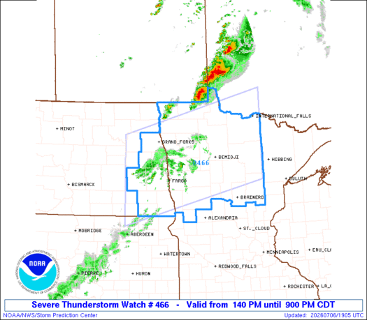
The National Weather Service confirmed a tornado with windspeeds of 115 mph touched down Monday in an area north of Detroit Lakes. A few people were injured, and the twister downed trees and power lines and damaged homes and buildings.
We are in scorching hot and muggy season across the state. Rain is back later Monday afternoon in the northwest, then it moves south toward Minneapolis and St. Paul near midnight. There are several more rounds of rain ahead and we’re heating back up next weekend.
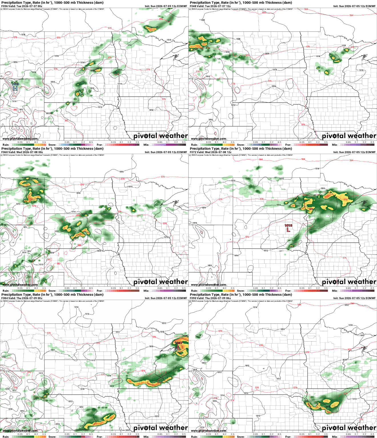
Our week is off to a quiet start, but storm chances will increase by Tuesday, bringing the potential for heavy rainfall and a few strong to severe thunderstorms. Temperatures will remain close to seasonal averages through much of the week before a possible warm-up arrives next weekend.
After a wet and stormy holiday weekend, quieter weather returns for Sunday and Monday. However, the forecast becomes much more active by Tuesday night as the potential for severe thunderstorms and heavy rain continues to increase.
If you're planning to wrap up your Independence Day with fireworks, don't forget to check the radar before heading out. While the weather won't be a washout, scattered thunderstorms could develop Saturday evening and briefly impact some celebrations.
We’ll still be tracking scattered showers and non-severe thunderstorms for Independence Day. Saturday won’t be totally dry, necessarily, but at least we won’t have quite as much lightning as in recent days.
When it comes to staying informed in Minnesota, our newsletters overdeliver. Sign-up now for headlines, breaking news, hometown stories, weather and much more. Delivered weekday mornings.