MnDOT said drivers should avoid traveling in the worst of the weather if possible and get off the road if heavy hail starts or if visibility is too challenging.
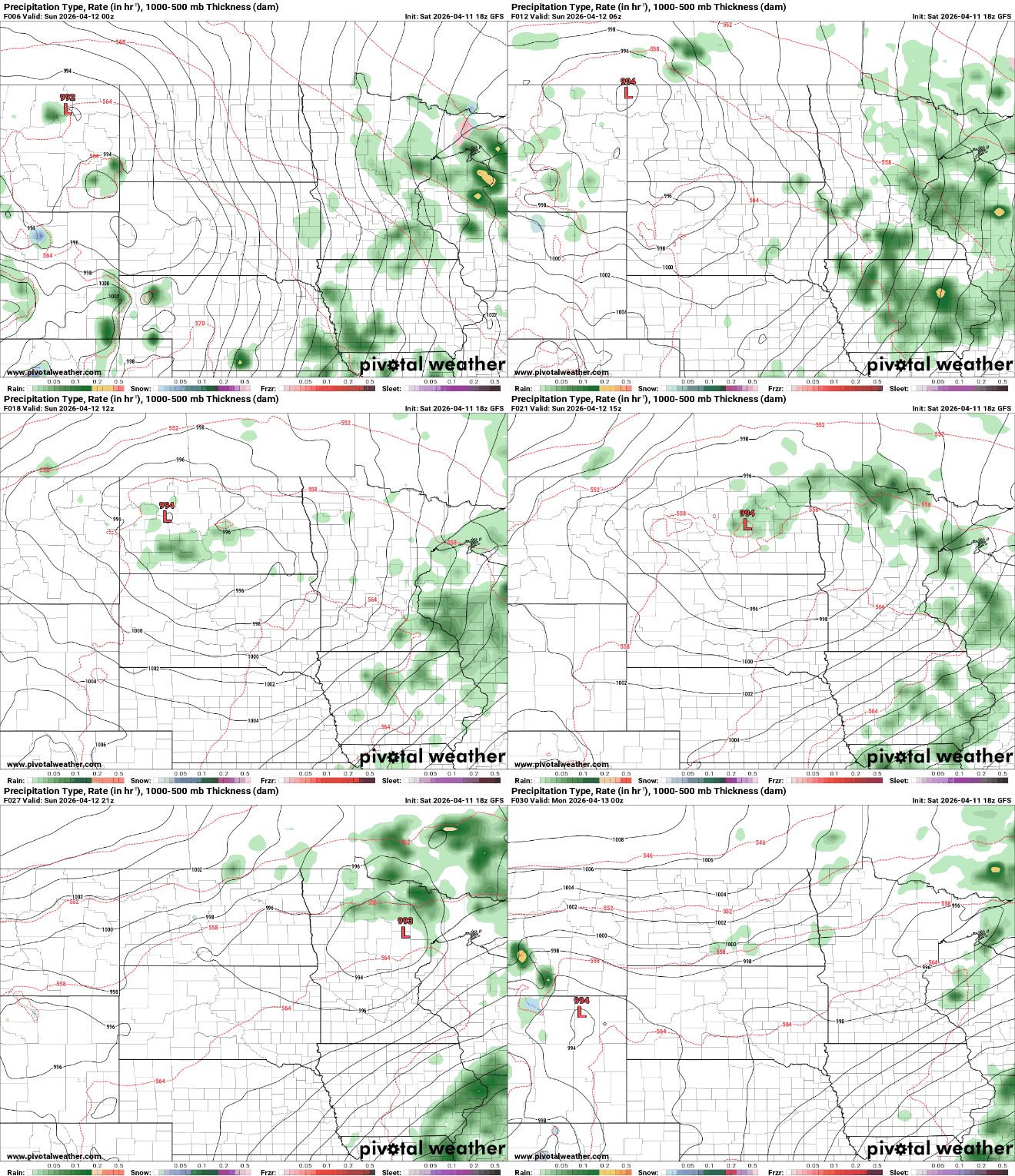
The atmosphere is setting the stage for strong to severe thunderstorms Monday afternoon and evening, with the highest risk south of a line from Redwood Falls through the Twin Cities to Eau Claire, Wis.
Unseasonably warm overnight temperatures are settling in, with lows holding in the 50s and 60s ahead of a more active weather pattern. An enhanced risk for severe storms covers the southern half of the state.
After a cool, damp start to the weekend, a warmup arrives Sunday with highs reaching the 70s and 80s. Dew points will rise into the 50s and low 60s Saturday night, bringing more humid conditions.
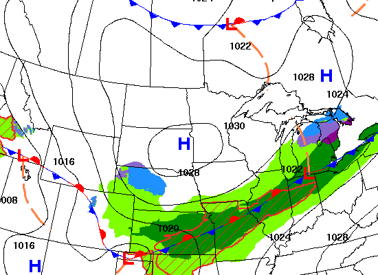
Rain showers and overcast skies are expected Saturday, followed by a humid, warm and increasingly stormy pattern that could bring chances for severe weather across the state.
High pressure will bring sunshine for most Friday. Warmer and more humid air will start moving north Saturday, increasing shower chances and creating stormy weather by Monday.
When it comes to staying informed in Minnesota, our newsletters overdeliver. Sign-up now for headlines, breaking news, hometown stories, weather and much more. Delivered weekday mornings.