High pressure will bring sunshine for most Friday. Warmer and more humid air will start moving north Saturday, increasing shower chances and creating stormy weather by Monday.
Temperatures dip slightly below normal Thursday as a passing disturbance brings isolated showers. Friday will bring sunshine and calm winds, followed by a warm, stormy weekend.
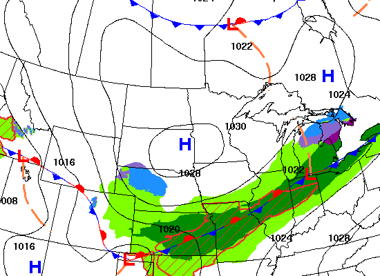
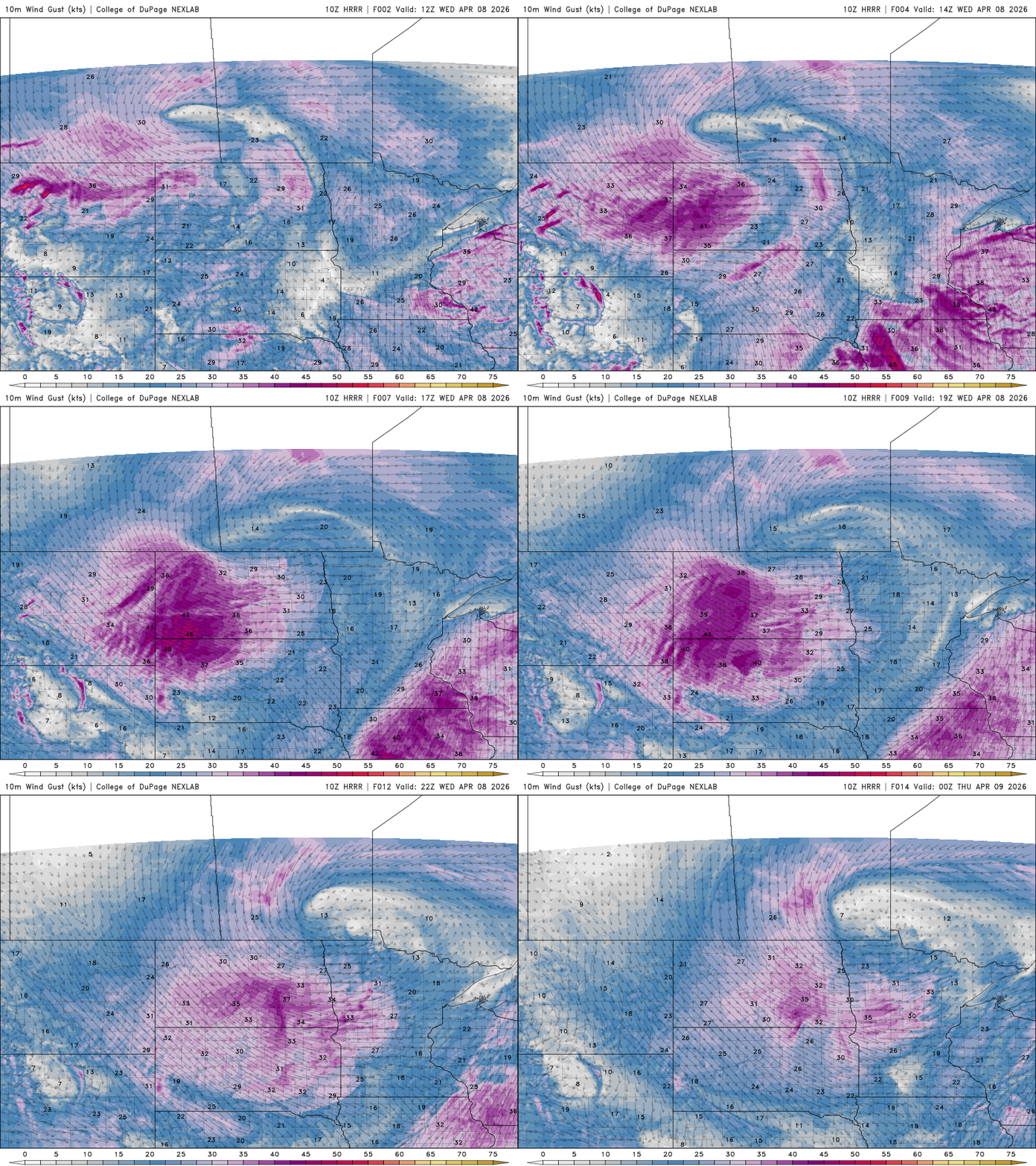
Gusty winds and mild temperatures are in place for Wednesday, but a cold front will arrive with spotty precipitation. Seasonal temperatures return to close out the workweek, before a muggy, mild and stormy pattern sets up for the weekend.
It’ll be another cooler-than-normal day Tuesday. Our next disturbance brings a few scattered rain showers Tuesday night and Wednesday with snow showers north.
Temperatures will start the week below normal. Springlike temperatures are back by Wednesday. We’ll have chances of showers Wednesday with a clipper system and weekend thunderstorms possible.
When it comes to staying informed in Minnesota, our newsletters overdeliver. Sign-up now for headlines, breaking news, hometown stories, weather and much more. Delivered weekday mornings.