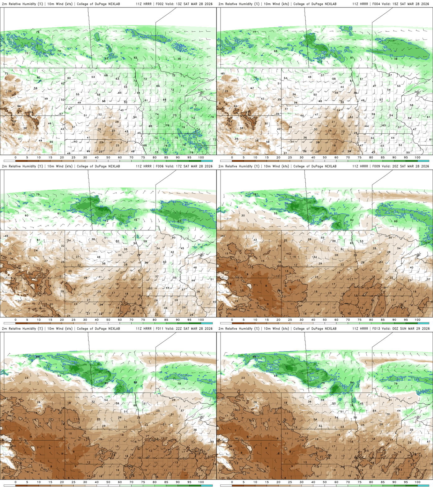
Critical fire weather conditions will continue into Saturday night as strong winds persist before gradually diminishing overnight. Sunny skies and warmer temperatures will follow for Sunday and Monday.
A cold start Saturday morning will quickly transition to warm, windy, and very dry conditions by Saturday afternoon, leading to critical fire weather conditions and a Red Flag Warning across the area.
A cool and quiet night is expected across the Upper Midwest as clear skies and light winds settle in. That brief chill will give way to a rapid warmup Saturday, accompanied by strong winds and very dry air that will create critical fire weather conditions across the region.
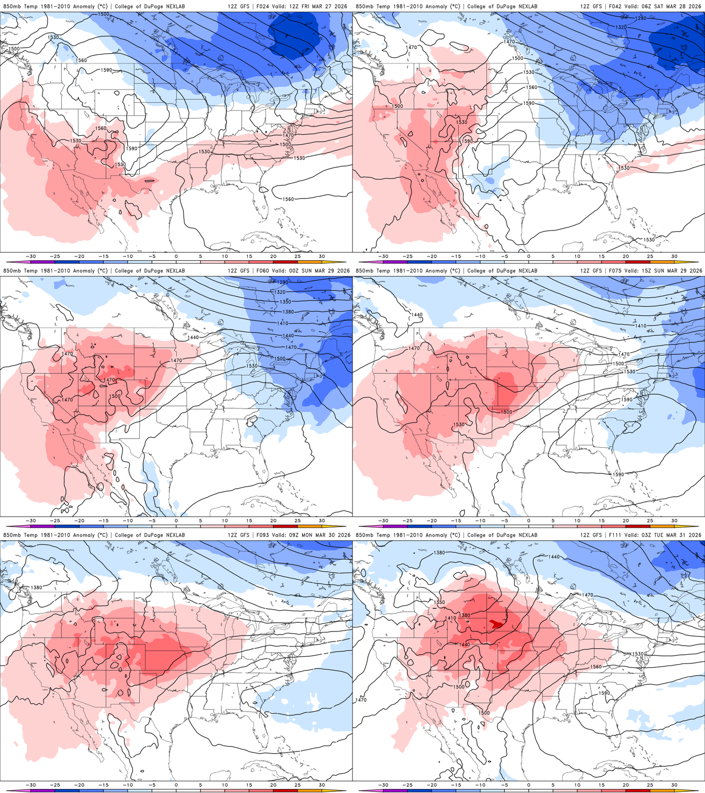
It’s a cold start early Friday and it will be a chilly, windy day, but temperatures warm up quickly again for the weekend. Next week’s pattern could yield a couple of storm systems.
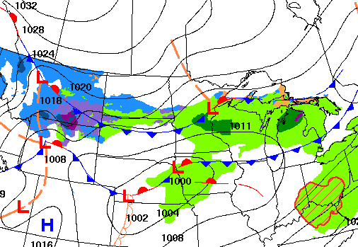
A cold front is sweeping through Minnesota Thursday, bringing falling temperatures and setting up a much chillier end to the work week. The chill won’t last long, but the weekend warmup may come with an increased risk for fire weather conditions.
A disturbance is producing some rain showers that will mix with snow in portions of northern Minnesota Thursday morning. Briefly colder air moves in with it.
When it comes to staying informed in Minnesota, our newsletters overdeliver. Sign-up now for headlines, breaking news, hometown stories, weather and much more. Delivered weekday mornings.