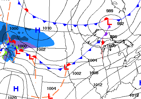
A cold front is moving across northern Minnesota tonight. It will touch off some rain showers north. More rain and snow develops Monday night into Tuesday night.
Many areas will see their first 60 in southern Minnesota Sunday. A cold front brings cooler air, starting Monday, for the rest of the week. We have multiple rain and snow chances as well.
After a wintry start to the weekend, temperatures are expected to surge Sunday, with the Twin Cities possibly reaching the 60-degree mark for the first time this year.
This weekend will bring a classic taste of early March in Minnesota — from snow showers and a cooler Saturday to a warm surge that could bring the first 60-degree reading of the year in the Twin Cities, along with the return of daylight saving time on Sunday.
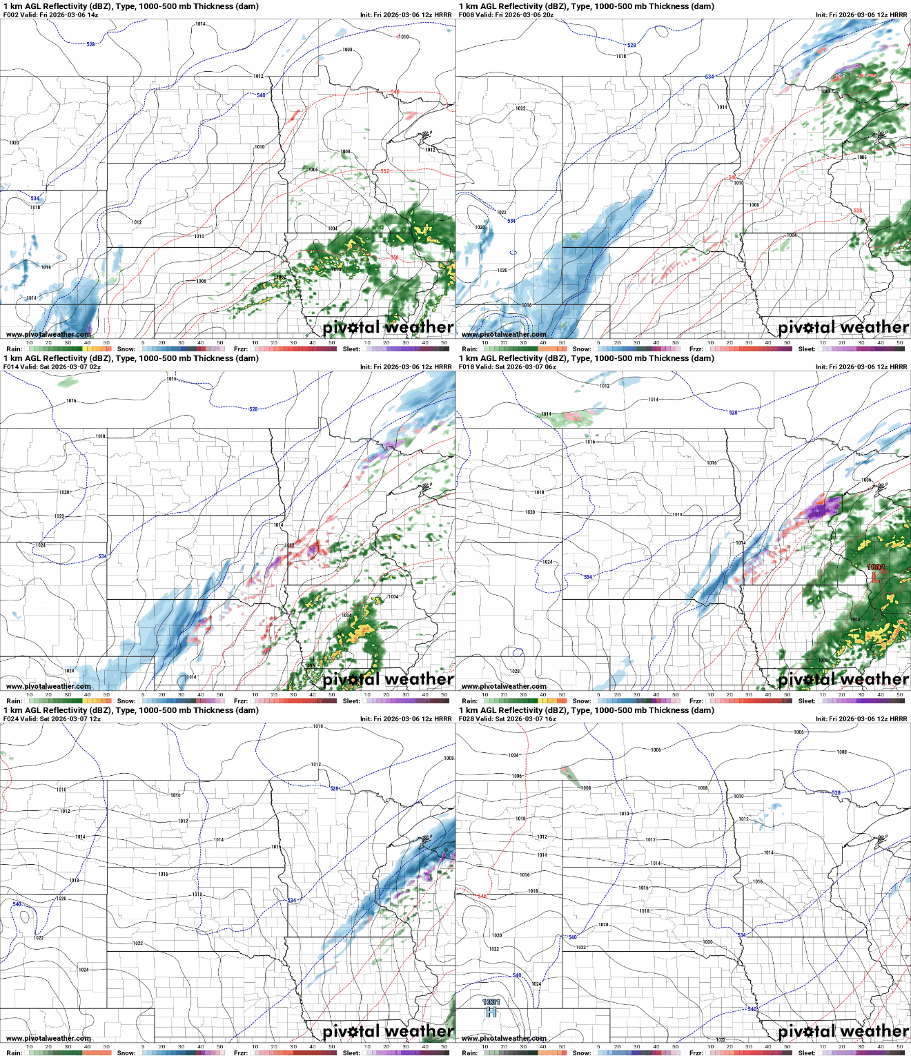
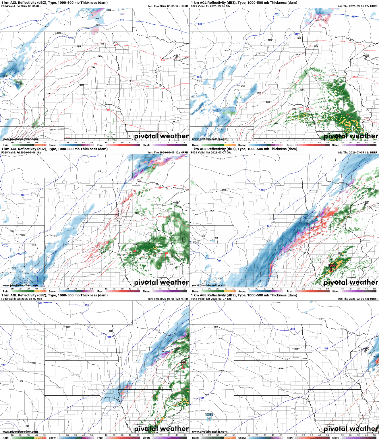
Our latest storm system is bringing a variety of precipitation types Friday into Saturday. Saturday will be cooler with very mild air back by Sunday. Next week looks cooler and active.
Spring is a season of dramatic weather across the United States and other midlatitude regions. Rapid shifts between lingering winter cold and returning warm air often produce powerful spring storm systems.
When it comes to staying informed in Minnesota, our newsletters overdeliver. Sign-up now for headlines, breaking news, hometown stories, weather and much more. Delivered weekday mornings.