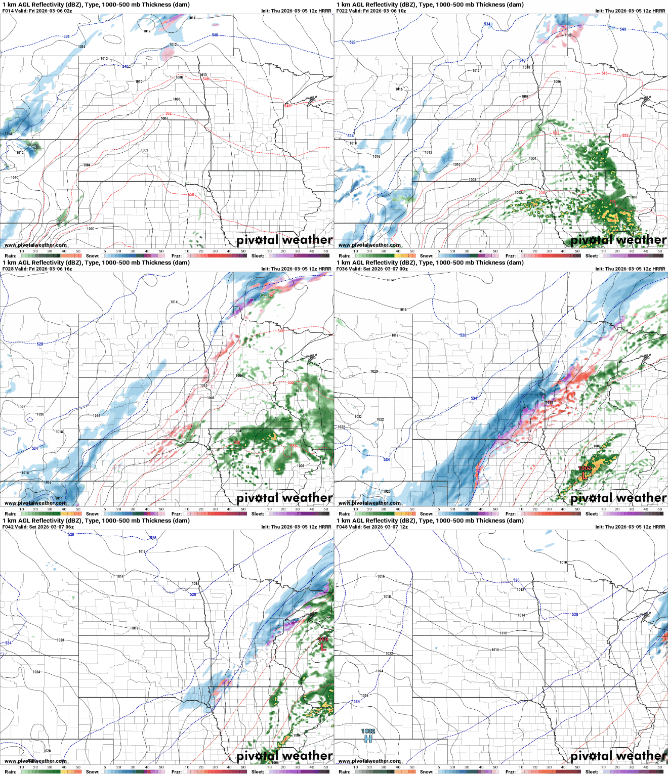
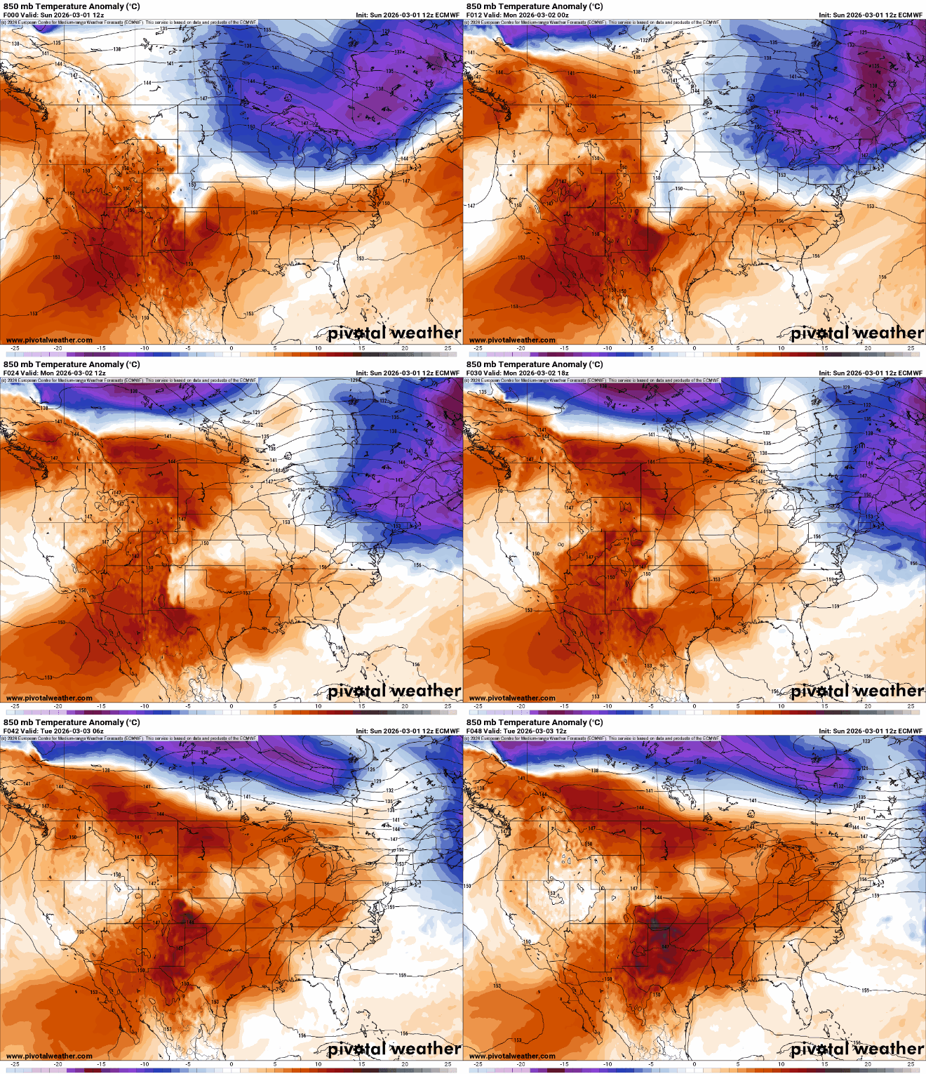
Temperatures Wednesday will average 20 degrees above normal. The anomalous warmth persists through Monday. We’re still watching a Friday storm system that will deliver rain and snow.
A mild early March air mass is sifting into Minnesota this week. The Twin Cities could see the first 60 degree temperatures of the year by Sunday or Monday.
Morning clouds will move out, and it’ll be another mild day Tuesday. Wednesday will see even warmer readings — in the 50s for many. A storm system will likely bring rain Friday.
A total lunar eclipse happens Tuesday morning. Fewer clouds in northern Minnesota may make for better viewing than in the south. Get ready for a mild week ahead.
Warmer air is back Monday and it’ll stick around through the week and next weekend. Some showers are possible south Monday night and we’re watching a bigger system for Friday.
The seasons are shifting, and this week will offer a true sign of spring. Highs are expected to reach the 50s by Tuesday, with increasing chances of rain by Friday.
High pressure will bring clearing skies and fair weather to start March. A typical springlike warmup is in store this week, with a more active weather pattern by week’s end.
When it comes to staying informed in Minnesota, our newsletters overdeliver. Sign-up now for headlines, breaking news, hometown stories, weather and much more. Delivered weekday mornings.