Weather and Climate News

More above normal temperatures and a wintry mix Thursday night
We’re back to above freezing highs for southern Minnesota today through Saturday. A couple systems could bring a wintry mix of precipitation Thursday night and Saturday. 
Cooler overnight but back above freezing Wednesday
It’ll be cooler overnight, especially north Tuesday night. Southern Minnesota climbs back above freezing for highs Wednesday. A wintry mix of precipitation is possible late Thursday. 
Slightly cooler Tuesday but more melting ahead
Temperatures will be nearly steady Tuesday and cooler, but still above normal for southern Minnesota. More melting is on the way Wednesday through Saturday. 
Melty days ahead with a mix of rain and snow Christmas night
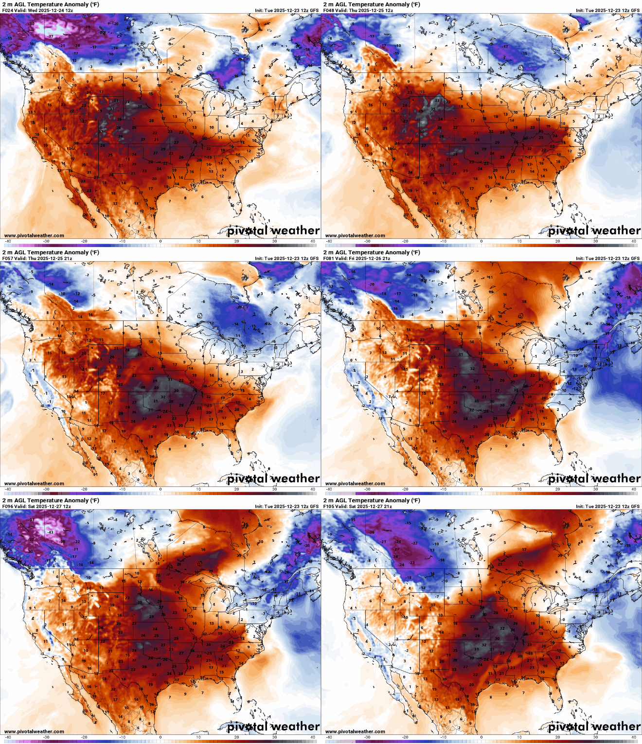
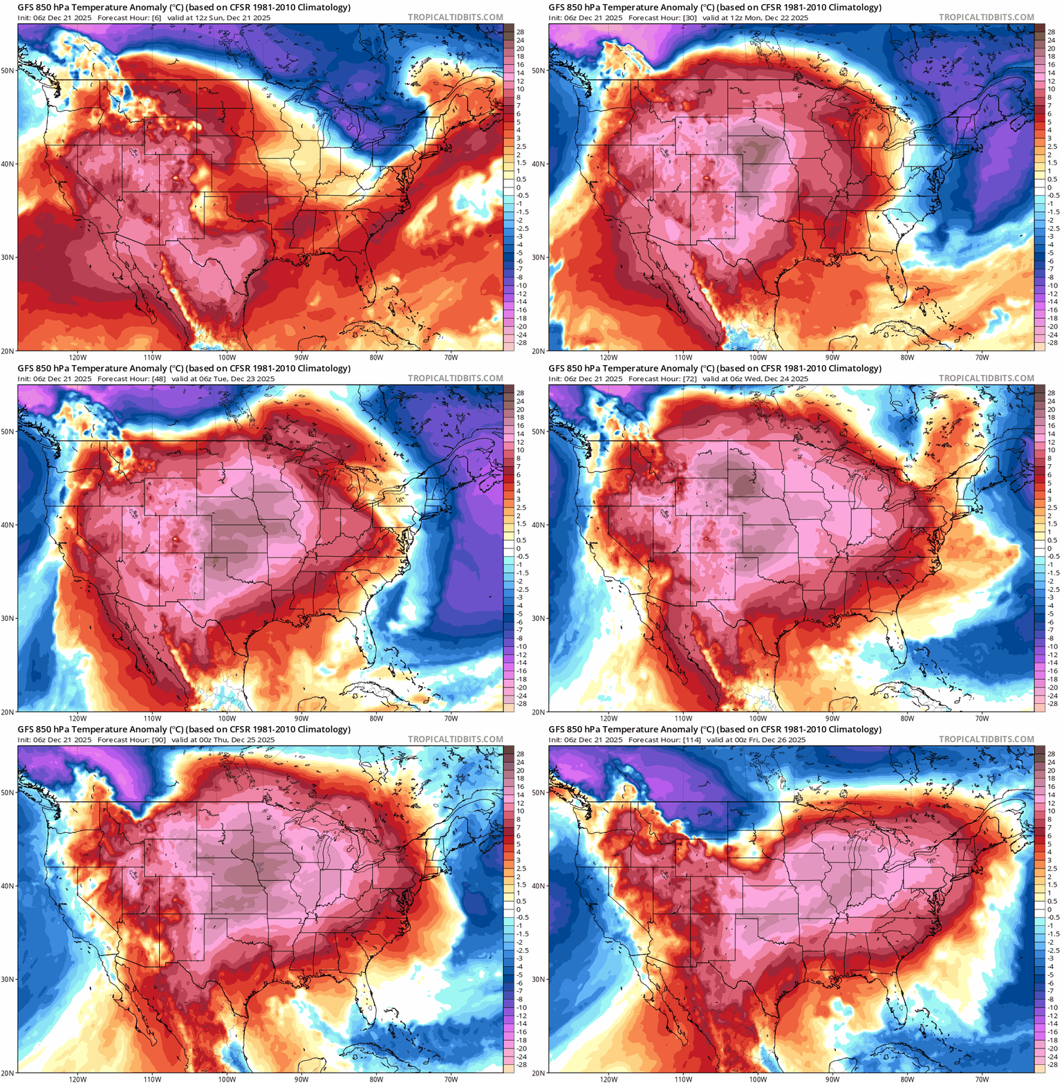
Tuesday is a touch cooler than Monday, then we’ll enter a stretch of highs above freezing. Warm air leads to a mix of rain and snow in the region Thursday night.
Mild air moves back in for the week ahead
Watch for some potential slick spots early Monday. Mild air moves in and remains through the week. A wintry mix of precipitation is possible Thursday night into Friday. 
Wintry mix possible through Monday morning
After a brief period of wintry weather through Monday morning, temperatures will trend much milder leading up to Christmas.
Cold winter solstice morning gives way to a milder pattern for Christmas
A cold start marks the winter solstice, but a much milder weather pattern is building in for the days ahead. A minor winter system arrives Sunday night with a chance for a wintry mix.
Flurries fade as a breezy Saturday takes over
Flurries fade early, giving way to a breezy and chilly Saturday, followed by Sunday’s winter solstice, the shortest day of the year, bringing a warming trend.