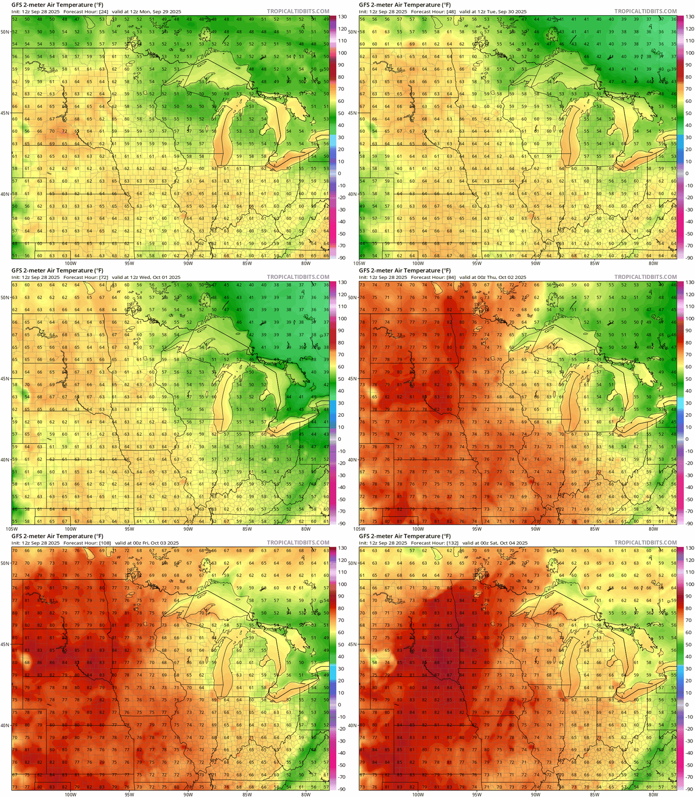
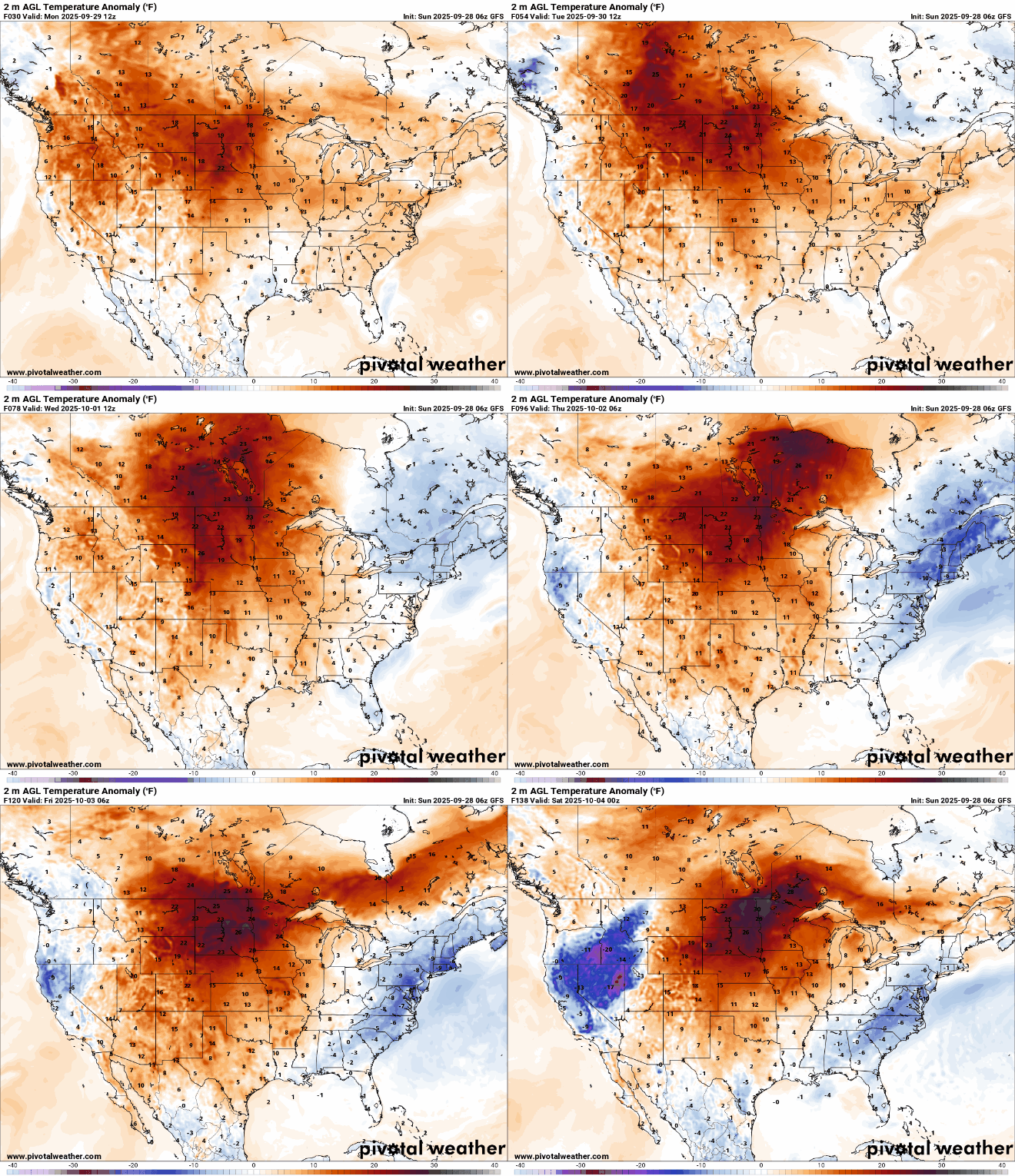
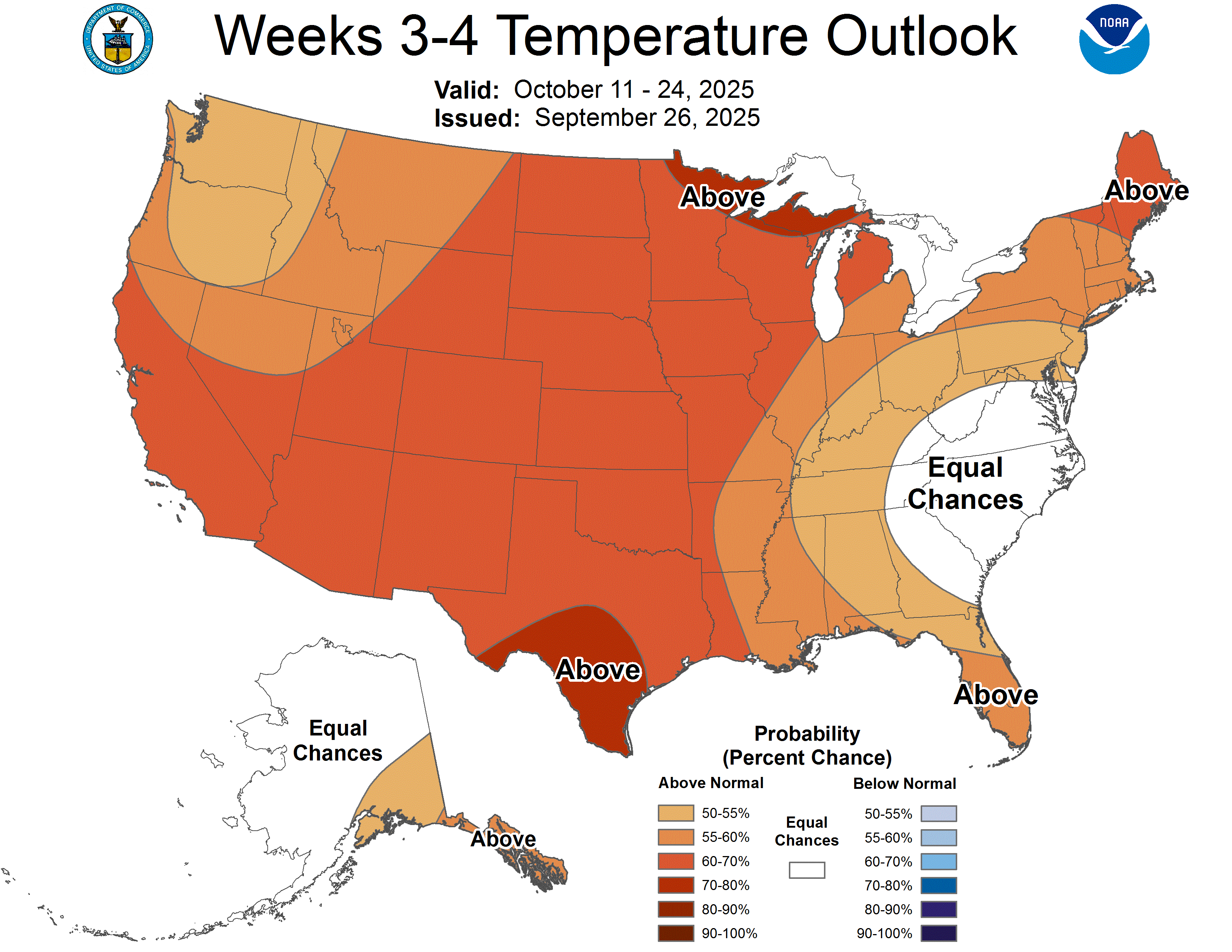
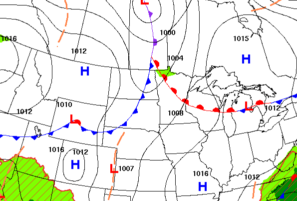
A strong ridge of high pressure over the Upper Midwest is fueling unseasonably warm conditions, with highs reaching the 80s and even low 90s in some locations this week.
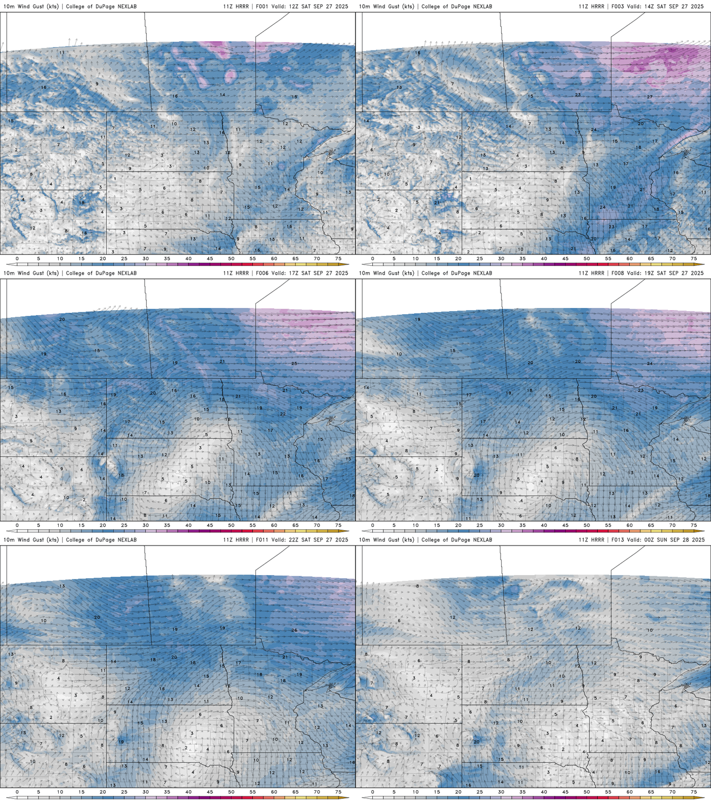
Saturday’s weather will be shaped by a passing weak cold front, bringing gusty winds and lower humidity levels. These conditions will raise fire weather concerns, particularly across northern Minnesota.
The weather is lining up just right this weekend, offering a perfect backdrop to enjoy the beauty of autumn leaves. Above-average temperatures in the 70s and even a few low 80s in southern Minnesota are expected, paired with plenty of sunshine and dry conditions.
A weak clipper system and cool front will drop temperatures back into the 70s Friday and into the weekend before 80s return early next week. Northern Minnesota may see a few showers Friday night.
As the busy Atlantic churns with multiple storms, forecasters are closely watching for signs of a rare Fujiwhara interaction, where two cyclones begin to rotate around each other and potentially shift course.
When it comes to staying informed in Minnesota, our newsletters overdeliver. Sign-up now for headlines, breaking news, hometown stories, weather and much more. Delivered weekday mornings.