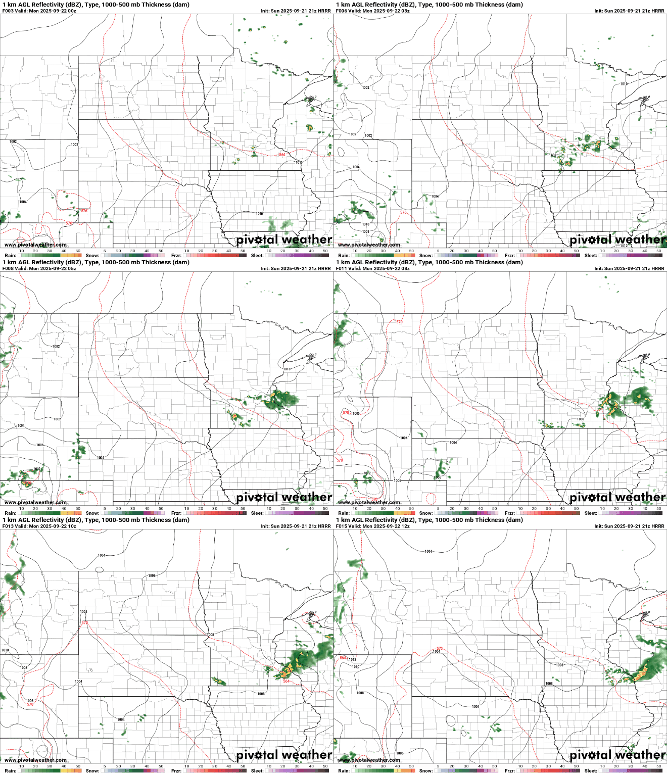
Our unsettled weather pattern departs Monday with lingering, isolated thunder in northeastern and southeastern Minnesota. The rest of the week is expected to be warm, dry and pleasant.
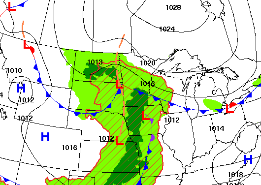
Storm chances continue into Sunday evening, with the potential for a few stronger storms, mainly across southern Minnesota. A slow-moving system will keep light rain chances lingering through Tuesday, before drier and sunnier weather settles in by midweek.
Our slow-moving system will keep showers and thunderstorms in the forecast for Sunday afternoon and evening. A marginal risk for severe weather is in place across southern Minnesota, including portions of the southern Twin Cities metro.
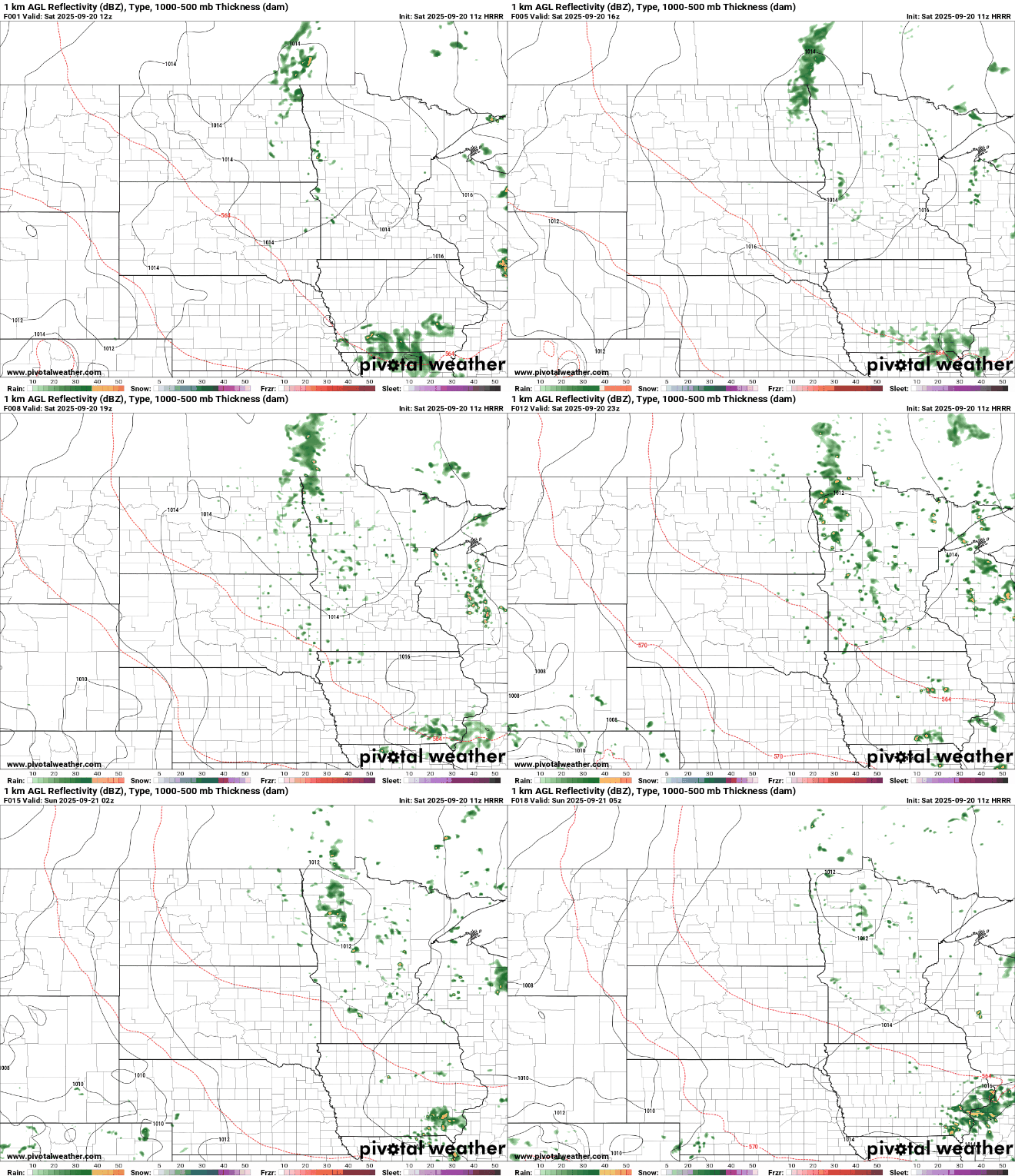
There’s another chance for scattered showers Saturday night, followed by more storms on Sunday, some of which could bring small hail and heavy downpours. Conditions improve next week with sunshine and slightly above-normal temperatures.
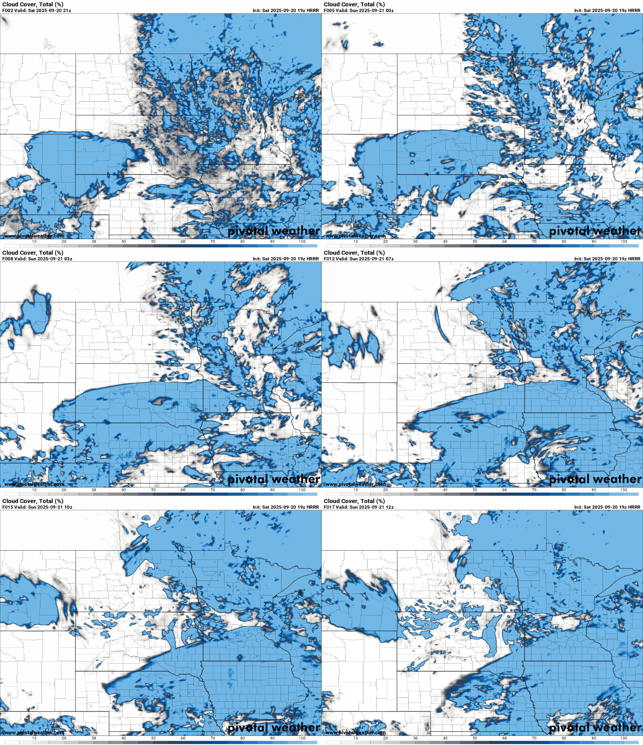
A slow-moving weather system continues to linger over the region this weekend, keeping clouds and spotty showers in the mix, but a gradual improvement is on the way.
With a sluggish low-pressure system lingering overhead, expect isolated to scattered showers through the area as temperatures settle back into their seasonal range.
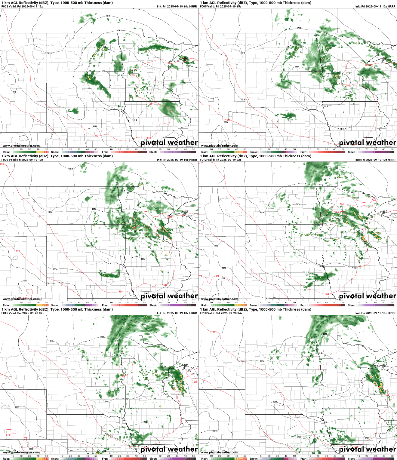
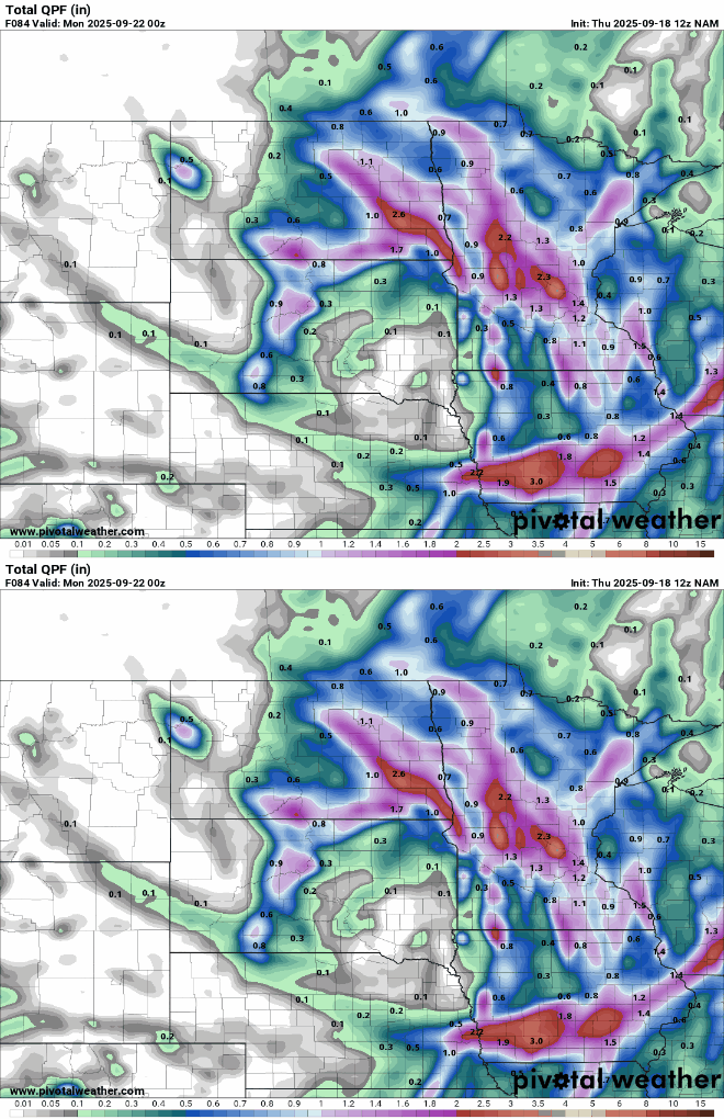
Multiple rounds of rainfall are expected to help offset the drier start to September with slowly moving or repeated showers potentially bringing several inches of moisture to the region.
A slowly moving upper low will continue to keep periodic rain chances in the forecast through the weekend. We’ll also see cooler air Friday and Saturday.
When it comes to staying informed in Minnesota, our newsletters overdeliver. Sign-up now for headlines, breaking news, hometown stories, weather and much more. Delivered weekday mornings.