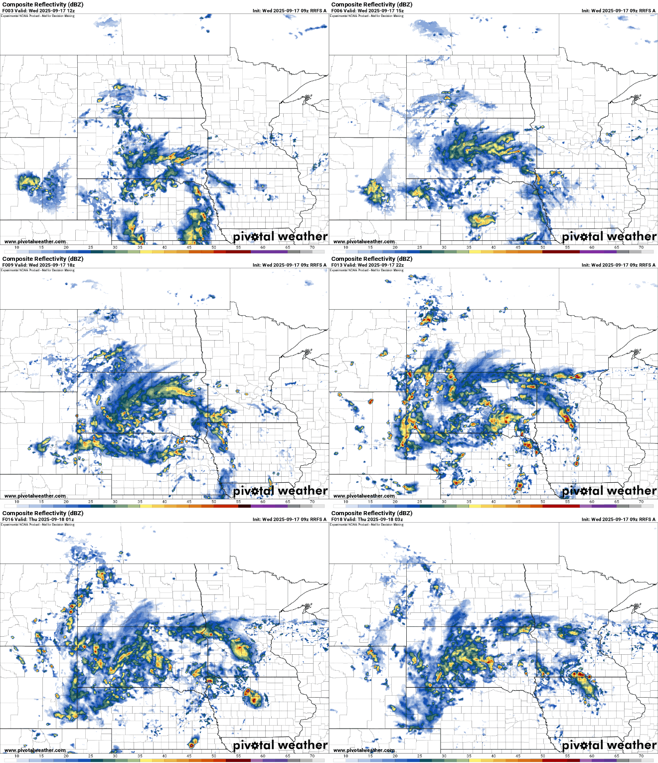
It will still be warm and muggy Wednesday but a slowly moving system will bring on and off rain chances into the weekend along with a slow drop in temperatures.
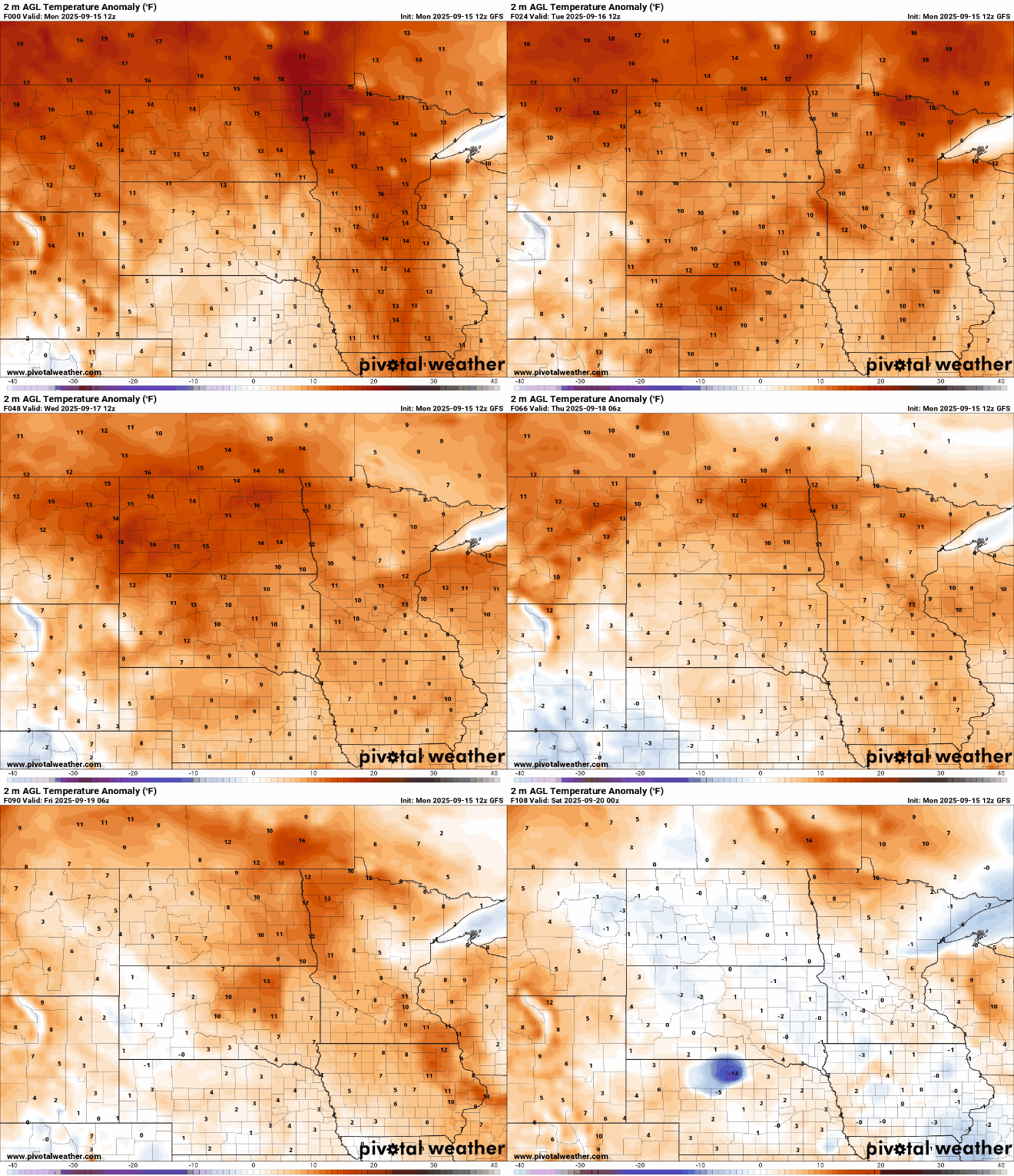
Tuesday will be a hot and humid one with highs running 10 to 20 degrees above normal. A cool front and upper low will bring rain and cooler air by late Wednesday into the weekend.
Our late-summer warm stretch continues, with above-average temperatures and sticky dew points. Expect a toasty Tuesday with heat peaking before fall eases back in later this week.
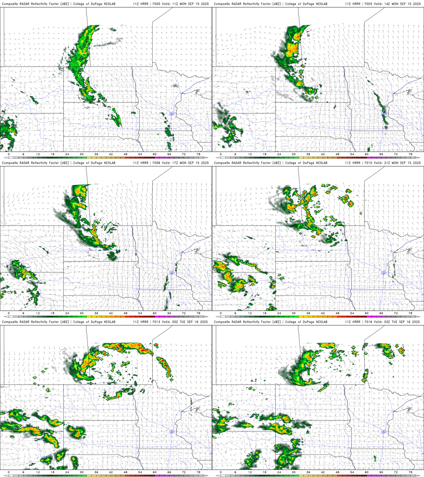
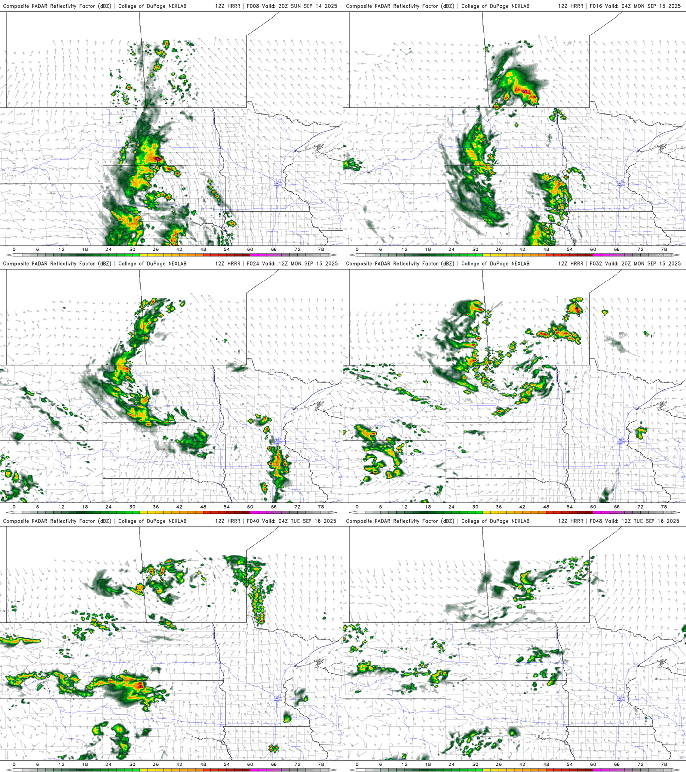
We’ll have spotty showers and thunder Monday with warm, humid conditions. The pattern remains July-like through midweek before seasonably cool air moves in.
It’ll be a warm, humid overnight with spotty thunder, mainly west. Monday will see a lingering thunder chance. Cooler air arrives late week after some midweek showers.
When it comes to staying informed in Minnesota, our newsletters overdeliver. Sign-up now for headlines, breaking news, hometown stories, weather and much more. Delivered weekday mornings.