Thursday begins with dense fog in many areas, followed by rain showers during the afternoon that will mix with snow as colder air moves in behind the system.
Wednesday begins with areas of freezing fog and icy patches, then temperatures rise above freezing across the region with breaks of sunshine. Thursday brings a rain-snow mix with minimal accumulation expected.
Some forecast models show a more northward trend for a possible rain, ice, and snow system late Thursday. If that happens it could bring wintry precipitation into the Twin Cities area late Thursday.
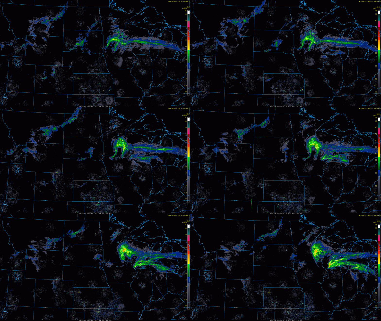
A messy start to Tuesday is underway across Minnesota and western Wisconsin as freezing rain and rain combine with dense and freezing fog, reducing visibility and creating slick travel conditions.
The slippery conditions — with temperatures hovering right around freezing in the Twin Cities — prompted some school districts to cancel or delay the start of classes. Find a list of those schools below.
When it comes to staying informed in Minnesota, our newsletters overdeliver. Sign-up now for headlines, breaking news, hometown stories, weather and much more. Delivered weekday mornings.