DNR officials say 2025 could be a vibrant and possibly ahead-of-schedule fall color season in Minnesota, after months of favorable weather and rainfall across the state.
To explain what the Ag Weather Network does for farmers and the rest of Minnesota, state Agriculture Department hydrologist and program manager Stefan Bischof joined MPR News host Cathy Wurzer on Morning Edition.
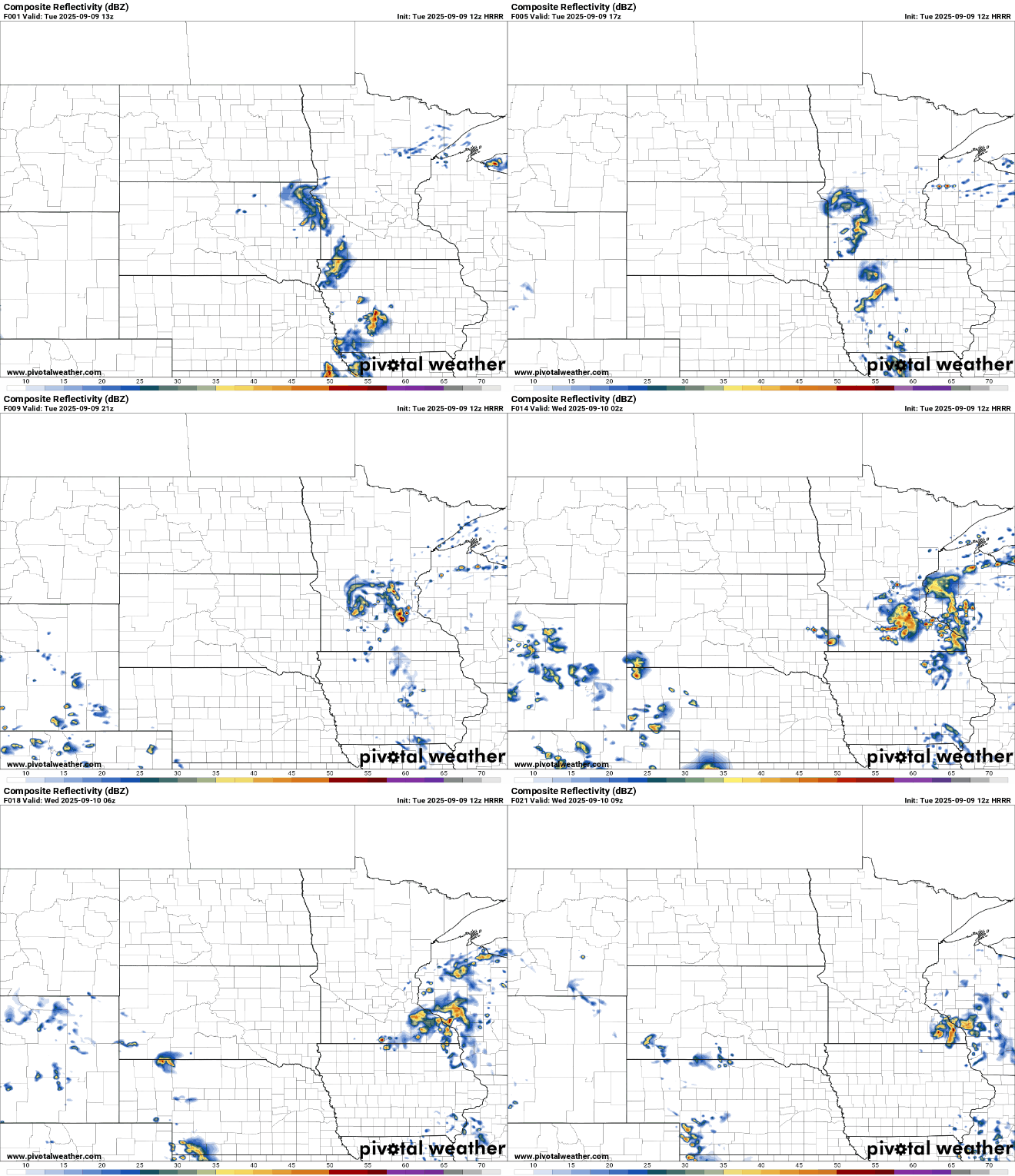
The warm air is certainly back. We’ll see highs in the 70s again Tuesday with 80s by Thursday. A disturbance will touch off spotty showers and thunder during the day and into this evening.
After a stretch of quiet weather, a marginal risk for severe storms returns Monday as a warm and humid air mass moves into the region. While the overall threat remains low, conditions could support isolated strong to severe storms, particularly during the late afternoon and evening hours.
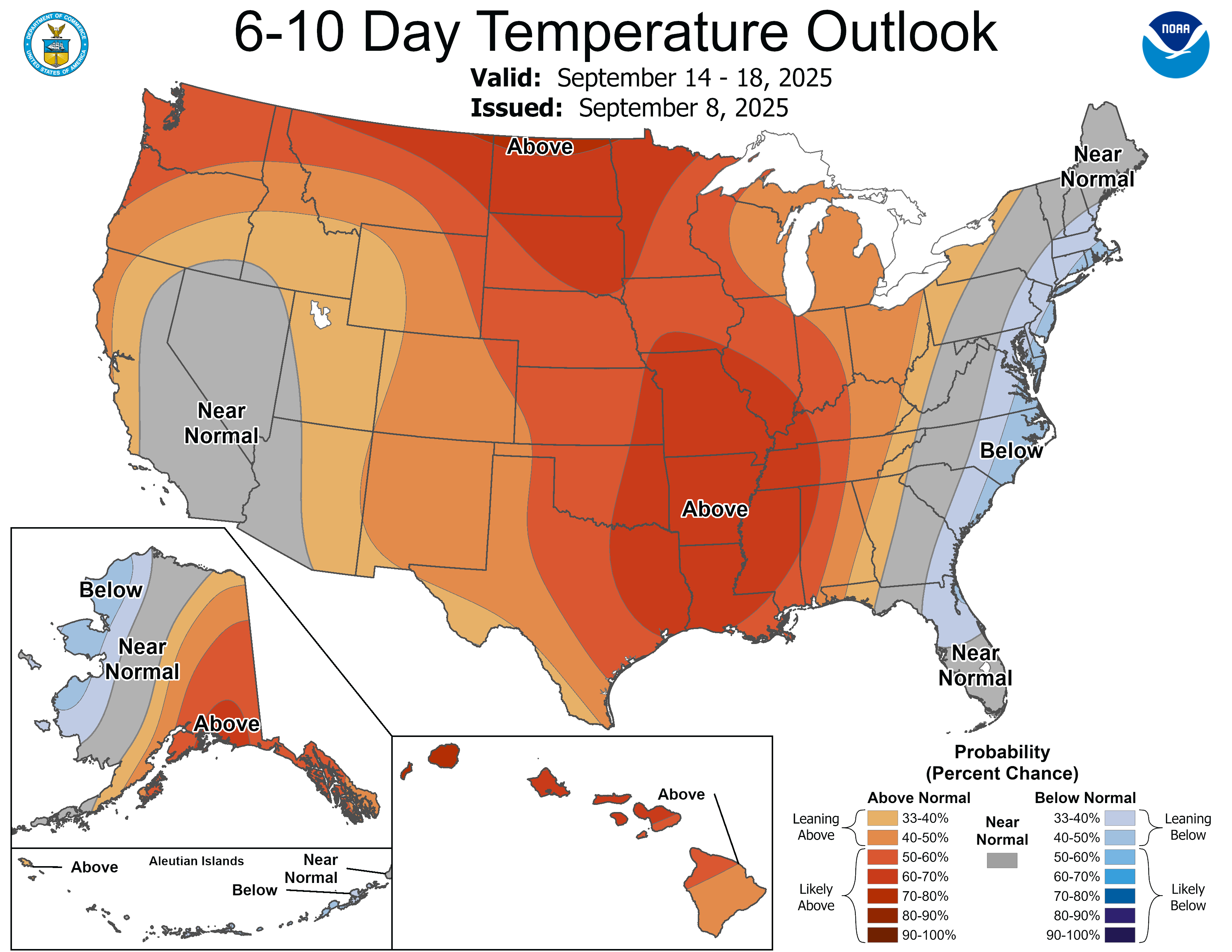
After a cool stretch of days, warmer air is back for Monday and the rest of the week. We’ll see some spotty thunder chances into Tuesday as moisture also increases.
After a stretch of calm and cool weather, changes are on the way to start the new week. Seasonal temperatures will return, accompanied by rising humidity and increasing chances for rain early this week.
Bright and crisp Sunday ahead with high pressure in control. Highs in the mid-60s today, with a warming trend into the 70s this week. Shower and thunderstorm chances return early next week.
Showers will wind down tonight, and as skies clear, conditions will be ripe for a cold night with patchy frost possible by Sunday morning. Sunnier skies return for the second half of the weekend, and temperatures will finally climb back to near-normal levels as we head into next week.
When it comes to staying informed in Minnesota, our newsletters overdeliver. Sign-up now for headlines, breaking news, hometown stories, weather and much more. Delivered weekday mornings.